Download
1 / 15
150 likes | 314 Views
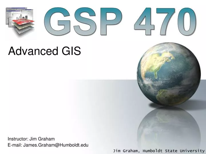
GSP 470. Advanced GIS. Instructor: Jim Graham E-mail: James.Graham@Humboldt.edu. Jim Graham. Bachelor's in CS and Math from Chico State Over 20 years as a software engineer 15 with HP as an engineer and manager Owner of tecBugs and now SchoonerTurtles

E N D
GSP 470 Advanced GIS Instructor: Jim Graham E-mail: James.Graham@Humboldt.edu
Jim Graham • Bachelor's in CS and Math from Chico State • Over 20 years as a software engineer • 15 with HP as an engineer and manager • Owner of tecBugs and now SchoonerTurtles • PhD from Colorado State U. in Forestry/GIS • Eight years with the Natural Resource Ecology Laboratory at Colorado State • Two years with Oregon State U. • 15 years doing GIS, five years teaching GIS • Research with: State Dept., USGS, USDA, DOE…
But who am I really? Grew up loving the mountains of California Usually had a 24k topo in my back pocket Discovered computers Put together computers and maps to solve problems After over 20 years in the commercial world, returned to academia to teach and help improve decisions on how we interact with the natural world
To Help Make Better Decisions Sept. 24, 2012 National Snow and Ice Data Center, 2012
Antarctic Ozone Hole Largest Antarctic Ozone Hole September 2006
Advanced GIS • This is an advanced class in GIS • We’ll cover: • Using R for spatial analysis • Managing large datasets • The new techy stuff: clouds, tweets, GPS everywhere, GoogleEarth, etc.
Have you had? Network analysis Variograms & Kriging Cluster analysis Trend surface modeling Python QAQC: Uncertainty analysis (end to end) R
What I need from you: • Please turn off phones or set to vibrate • Please try to make it to class on time, • If you’re late, please come in quietly • If you have a question, please ask • Others may be wondering about the same topic
To be successful • Turn in lab assignments on time! • Attend class, read the book, etc. • Make good decisions • Follow the 20 minute rule: • If you’re stuck more than 20 minutes, get help • What is your learning style? • www.vark-learn.com/english/page.asp?p=questionnaire
Bottom Line • The more time you spend working with a GIS, the better you will do • If you work hard and do the assignments on time • Me (and others) will be there to help you when needed • You just need to ask! • Be ready to help others as well
The Class Website The class website is at: http://gsp.humboldt.edu/OLM/GSP_470 I promise the website will be updated at least before class ;-)
First lab • Write a short report on what you want to do with GIS and how this class could help • Include: • Site map for your study area(s) of interest • Detailed map with an example of a problem or question you’d like to solve • The type of career you’d like to be in 10 years from now. • If you don’t know, that’s ok. Just state that you don’t know and then make up something fun!