Download
1 / 5
70 likes | 155 Views
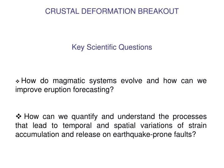
CRUSTAL DEFORMATION BREAKOUT Key Scientific Questions . How do magmatic systems evolve and how can we improve eruption forecasting? How can we quantify and understand the processes that lead to temporal and spatial variations of strain accumulation and release on earthquake-prone faults?.

E N D
CRUSTAL DEFORMATION BREAKOUTKey Scientific Questions • How do magmatic systems evolve and how can we improve eruption forecasting? • How can we quantify and understand the processes that lead to temporal and spatial variations of strain accumulation and release on earthquake-prone faults?
Key Scientific Question # 1 • How do magmatic systems evolve and how can we improve eruption forecasting? • How does magma ascend from the source region to mid- and upper-crustal reservoirs? • What processes control the further ascent of magma (and magmatic fluids) to the Earth’s surface? • How quickly does magma migrate, and what does this tell us about composition and temperature? • How common is magmatic fluid migration without concomitant eruption and how can we distinguish between intrusion events from those that result in eruption? • In particular, how can we predict the eruption of explosive strato-volcanoes? • How are earthquake faulting and magmatism inter-related? • What processes cause/trigger flank instabilities? Are they related to eruption?
Key Scientific Question # 2 • How can we quantify and understand the processes that lead to temporal and spatial variations of strain accumulation and release on earthquake-prone faults? • What mechanisms control the occurrence of transient and steady-state aseismic fault slip? • What processes generate post-seismic deformation and what accounts for its variability in differing tectonic regimes? • What stress transfer processes are important in triggering seismic activity? Are long-range interactions important? • Are there precursory deformation phenomena and can they be detected with InSAR observations? • How can we use better InSAR constraints on static earthquake slip to improve our understanding of rupture dynamics? • What is the role of inelastic permanent strain (geology) vs elastic strain? • What is the nature, temporal evolution, and distribution of aseismic strain in the lithosphere?
Importance of Serendipitous Discovery • Discovery aspect of space missions frequently used in justifying planetary exploration • Well-illustrated by the history of InSAR where most spectacular results could not have been anticipated before launch of SAR missions. Examples from crustal dynamics include: • Visual (and scientific!) impact of interferograms of a wide range of deformation processes, including: earthquakes, postseismic transients, magmatic unrest, and regional ground subsidence • Role of poroelastic processes • Discovery of off-fault coseismic strain • Non-eruptive migration of magma and/or magmatic fluids • Locating small earthquakes with ~1 km accuracy (CTBT/tectonics)
Matching Science Goals to InSAR Data/Products • Guiding Principles: - Emphasize goals that take advantage of unique capabilities of InSAR---its ~complete spatial coverage at ~1-100 km scale (e.g. volcanic systems goals) - Importance of integration with complementary data/techniques (CGPS, seismology, volcanology….) - Importance of data archives & long-term continuity of data acquisition • Existing/Planned Systems (Dual strategy): • Intensively image natural labs (areas with excellent ancillary nets & data) • Image synoptically in many of the world’s blind spots to build up case histories, maximize potential for major serendipitous discoveries, and to help define new natural labs. • New Missions/Capabilities: • ECHO-like mission: science goals that depend on large data volume, 3D imaging, L-band targets • Maximize temporal sampling density over active tectonic regions • Add to ECHO: ScanSAR capability for more frequent, lower resolution monitoring of broad regions • Nearer to real-time data acquisition/transfer--hazards applications