Download
1 / 22
220 likes | 403 Views
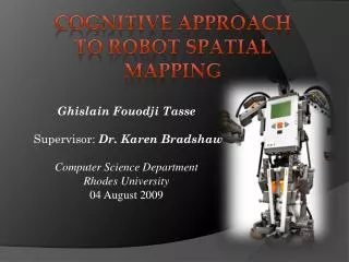
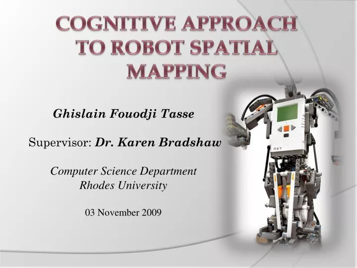
COGNITIVE APPROACH TO ROBOT SPATIAL MAPPING. Ghislain Fouodji Tasse Supervisor: Dr. Karen Bradshaw Computer Science Department Rhodes University 03 November 2009. Overview. Cognitive science is the study of the nature of intelligence.

E N D
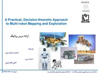
COGNITIVE APPROACH TO ROBOT SPATIAL MAPPING Ghislain Fouodji Tasse Supervisor: Dr. Karen Bradshaw Computer Science Department Rhodes University 03 November 2009
Overview • Cognitive science is the study of the nature of intelligence. • Spatial mapping means modelling the environment into a map. • The robot: a simple mobile agent with 2 motors and 4 ultrasonics sensors. Through some reasoning and common sense, our robot should definitely have the ability to understand its surroundings, generates a map of the objects and their positions.
Problem Statement • Collection of data: the robot should be able collect data from its sensors. • Data Integrity: the validity and consistency of the data should be enforced. • Interpretation of data: the robot should be able to interpret the data and derive information from them. • Building the map: a robust map should be implemented using the known information. • Usage of the map: the robot should be able to use the map to navigate through the room.
HOW ?(METHODOLOGY) • Sensors: range sensors are the typical tools used to record data. • Localisation: data is meaningful only if it is associated with a proper frame of reference. An object should be identified uniquely, irrespective of the view the robot has on it. • Grid occupancy: This methodology can be used to represent the information and therefore to store a map. • Path finding (A*): We need a method for inferring information from the map.
Aim At the begining... Unknown !!!!
Knowledge representation: Grid occupancy • The grid is superposed on the environment. The grid is updated as the robot moves inthe environment. y x
Learning mechanism • Shortest path algorithm: the robot always tries to follow the diagonal path. When this fails, a convenient linear path is adopted. • But in this case, the robot starts from the corner of the room.
Learning mechanism • Storing the information into the grid (0,2) (1,2) (0,1) (1,1) (2,1) (0,0) (1,0) (2,0) (0,3) (1,3) (2,3) (3,3) (4,3) (5,3) (0,4)
Grid transformation • The grid is restructured such that indexes of the grid corresponds directly to the coordinates of the objects in the world. • Objects can be identified directly, there is no need for a hash function which hashes objects’ coordinates into grid’s indexes.
more.... • Start-up heuristic:At time t=0, the robot uses a heuristic to determine the initial path it should take. Implicitly, this heuristic also determines which of the four coordinate systems defined in the previous section the robot is going to use. • Stop heuristic:The mapping algorithm is designed in such a way that the usage of the same diagonal path twice by the robot may induce a huge amount of redundancy. The robot stops mapping when it feels it has acquired enough knowledge about the environment. • Wall detection:The robot interprets a wall as an obstacle and as any other obstacle, the robot will try to avoid it. However, the robot should realize it is impossible to avoid such obstacles and should change its direction.
Inference mechanism: Path finding • From the current position of the robot to a desired position, we can construct a directed graph where nodes represent the cells of the grid. • IDA* search algorithm • Distance heuristic , d(x,y): With respect to the initial position of the robot, we can easily ascertain the shortest path to the desired position by looking at the constructed grid. In a mapping environment as we have, the shortest path between two states is the path closest to a straight line. • Cost heuristic, h(x): cost of the path.This is defined as the number of nodes (cells) that need to be traversed before the robot achieves its goal. F(x) = h(x) + d(x,y)
Path finding: IDA* search algorithm • Illustration U+1 U-1 4 3 5 (a,b) V+1 V+1 6 2 V-1 V-1 1 7 8 U-1 U+1
Network of maps • Adding a node:Move the robot from one room to the next. Then create a new instance of a map and add it to previous maps to form a topological map. • Adding a gateway: it contains the identification of both the exit and the two rooms that are connected by it.
Results We run some experiments and then access our approach with respect to the followings: • Completeness: Does the map have sufficient information of the environment; Map usability. • Cognitive capabilities: evaluation of the cognitive capabilities of the mapping approach.
Results: Completeness • All the maps obtained for different experiments are at least 94% complete. • The positions of found objects were right, though the robot did not detect all of them.
Results: Cognitive property of the map • To assess the cognitive capability of the mapping algorithm, we compare the number of sensors’ requests for each mapping case. vs
Results: Cognition property of the map • Irrespective of the initial conditions of the mapping problem, the robot solves it using almost the same amount of sensor data. • There is a cognitive process that enables the robot to use its sensors more efficiently, by using them less frequently.
Conclusions • It is possible for a robot to learn the positions of objects (a television) in its surroundings, and can use the derived knowledge to execute human instructions (”switch on the television”). • We have proved that, by using its cognitive capabilities, the robot can accurately and efficiently map different types of environments, without any configuration from its user. • The correspondence and SLAM problem were solved. Using the map, the robot can always localise itself or any object, irrespective of itsposition in the room.
Future work • Physical properties: Increase the number of sensors, the degrees of freedom. Improve the mapping approach from a 2D to a 3D environment. • Each occupied cell can be attached to a picture which can be used latter to visually recognize an obstacle using visual recognition. • Our mapping approach was designed for an indoor environment. But with a GPS device, the robot can move from an indoor environment to an outdoor environment and vice versa. The robot will use the GPS for an outdoor navigation and localization.
Demonstration Simulation: we use a robot simulation software to emulate different environments and perform our experiments faster. • VRML (Virtual Reality Modelling Language) to model the environment and the robot. • Webots:simulator software used to interpret the VRML file and use our program to control the robot in the designed environment.