Download
1 / 6
60 likes | 173 Views
Geolocation Verification. S. Noël IFE/IUP University of Bremen, Germany. Analysis. Analysis is based on scanner readouts and orbital parameters taken from selected SCIAMACHY Level 0 data for several observational modes: Nadir Limb Solar Occultation Sun Fast Sweep Subsolar

E N D
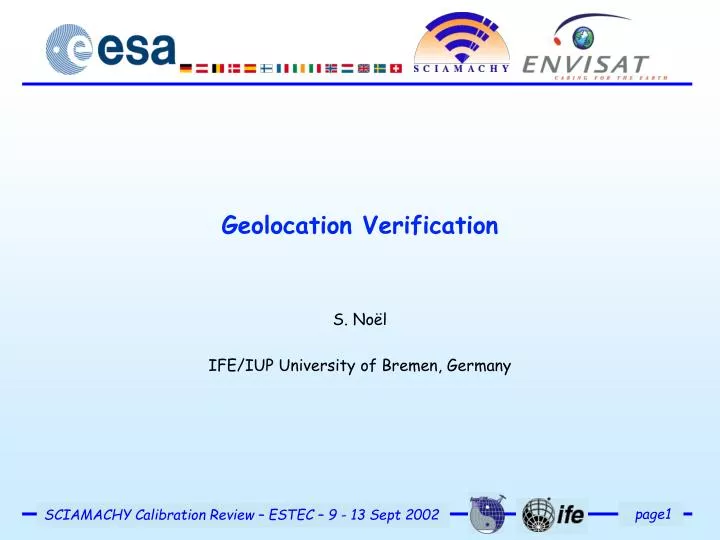
Geolocation Verification S. Noël IFE/IUP University of Bremen, Germany
Analysis • Analysis is based on scanner readouts and orbital parameters taken from selected SCIAMACHY Level 0 data for several observational modes: • Nadir • Limb • Solar Occultation • Sun Fast Sweep • Subsolar • From these data geolocation is computed using the ESA CFI s/w. • ENVISAT attitude information and SCIAMACHY misalignment values are taken into account. • Results are compared with expected values (from DMOP/SOST web page) and corner coordinates from corresponding Level 1b product.
Green = Expected ground pixels, Red = Level 0 scanner data, + = Corner coordinates from Level 1b product
Green = Expected ground pixels, Red = Level 0 scanner data, + = Corner coordinates from Level 1b product
Results • The geolocation from Level 0 data is in line with Level 1. • Good agreement between expected and actual geolocation for nadir • Limb ground pixels are shifted to the left (w.r.t. flight direction) on the northern hemisphere, to the right on the southern hemisphere.Around the equator the agreement is quite good. • As a consequence, limb-nadir matching across track is only partly achieved. • Similar azimuthal effects are seen in other measurement modes(Solar Occultation, Sun Fast Sweep, Subsolar). • An anomaly report has been issued; the problem is under discussion but not solved yet.
Preliminary Conclusions • All observed effects can be explained by a mispointing in azimuthal direction. • Most likely explanation is a wrong or non-optimal yaw steering correction, but error in computation of geolocation may also not be excluded. • Points to be addressed for a further analysis: • How in detail do all corrections (misalignment, ENVISAT and SCIAMACHY yaw steering, etc.) go into the commanding of scanners? • Which values (in which coordinate system) are used? • What corrections need to be applied to the scanner readouts in the level 0 product before calling the CFIs? • How is misalignment handled by the CFI routines? Do they discriminate between ENVISAT and SCIAMACHY misalignment? (This is relevant for solar/lunar parameters.)