Download
1 / 19
200 likes | 347 Views
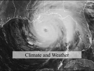
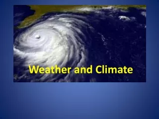
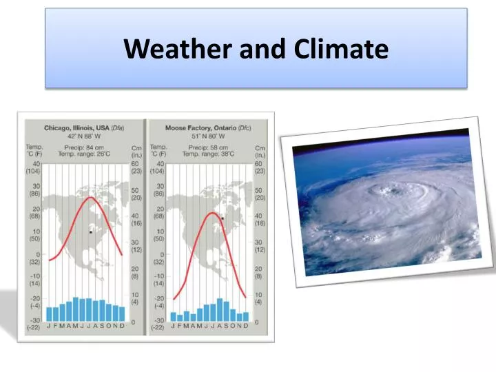
Weather and Climate. Water Cycle. Be able to Identify and Describe each of the f ollowing processes. Condensation Precipitation Run off Infiltration Transpiration Evaporation. Structure of Earth’s Atmosphere. The Troposphere i s where our weather o ccurs.

E N D
Water Cycle Be able to Identify and Describe each of the following processes. Condensation Precipitation Run off Infiltration Transpiration Evaporation
Structure of Earth’s Atmosphere The Troposphere is where our weather occurs. Recognize the relationship between altitude and temperature.
Composition of the Atmosphere Earth’s atmosphere is composed mostly of nitrogen and oxygen
Insolation Factors that affect insolation and thus climate. Latitude and time of year (remember Earth’s tilt).
Weather Instruments Be able to: Identify each instrument. Describe what each measures. Read current measurement. Unit conversion: For example: inches of mercury to millibars. or Fahrenheit to Celsius.
Atmospheric Pressure Surface wind rotation/ patterns associated each pressure system.
Isoline Drawing and Interpretation Can you determine wind direction? Can you label areas of steep pressure gradients (windy)?
Drawing Isolines Can you draw the correct Isobars on this map? Answer on next slide.
Fronts • Cold Fronts • Warm fronts • Stationary Fronts • Occluded Fronts
Air Masses and Characteristics Characteristics: Coldor Warm Wet or Dry
Ocean Currents Warmcurrents = wet climate Cool currents = dry climate
Planetary Wind and Moisture Belts Areas of rising air = low pressure = wet (CCCP) Areas of sinking air = high pressure = dry Trade winds are deflected because of Earth’s rotation
Local Climate Rain shadow But also: Lake Effect Land & Sea Breeze Mountain Valley Monsoon Santa Ana
Weather Safety Precautions Be able to LIST and DESCRIBE safety precautions that can be followed in the advent of severeweather events.
Weather Map Interpretation •Rotation around pressure systems •Wind direction •Windy areas and calm regions •Relative Temperatures •Front identification
Possible Map Questions Which location is warmer? A or B? From which direction is the wind blowing at C? 3) From which direction is the wind blowing at D? What kind of front is at E? Identify an area which is windy. Identify an area which is calm. E D C A B