Download
1 / 27
270 likes | 590 Views
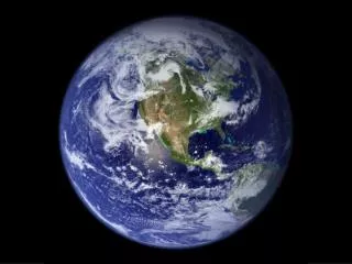
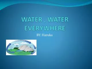
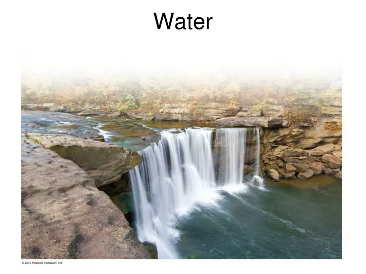
Water. Hydrologic Cycle. The hydrologic cycle is a model that describes the movement of water through the reservoirs of the Earth Processes involved in the hydrologic cycle Precipitation Evaporation Infiltration Runoff Transpiration. Hydrologic Cycle.

E N D
Hydrologic Cycle • The hydrologic cycle is a model that describes the movement of water through the reservoirs of the Earth • Processes involved in the hydrologic cycle • Precipitation • Evaporation • Infiltration • Runoff • Transpiration
Hydrologic Cycle Evaporation: Water changes from liquid to vapor Transpiration: Water taken up by plants passes into the atmosphere Condensation: Water changes from vapor to liquid Precipitation: Water returns to the surface of the earth as rain or snow.
Hydrologic Cycle Surface Runoff: precipitation that drains over the land or in streams Infiltration: Water works its way into the ground through small openings in the soil.
Streamflow • Surface Runoff begins as overland or sheet flow as precipitation moves downhill • Sheet flow eventually becomes a stream - water that flows downslope along a clearly-defined natural pathway.
Streamflow Characteristics • Stream gradient - steepness of the slope. The gradient is highest near the stream’s headwaters (source) and decreases as it moves downslope toward the ocean. • Stream discharge - the amount of water passing any point during a unit of time (example: ft3/sec). • Stream load – suspended and dissolved sediment carried by the stream.
Types of Stream Channels - Straight Straight Channel • Usually occur only in short stretches • Generally have a high gradient (near headwaters) • Classic V-shaped valley (as opposed to glacial U-shaped valley)
Types of Stream Channels- Braided Braided Channel • Low gradient • Large, variable sediment load that varies seasonally (e.g. snowmelt, storm activity)
Types of Stream Channels- Meandering Meandering Channel • Usually occur downstream, near the mouth • Low gradient • Cut bank erosion and point bar deposition • May eventually form an oxbow lake
Oxbow Lake • Form when the meanders get too close together. • River cuts a new, direct channel between the meanders. Meandering Channel • Oxbow lake will eventually become a swamp and dry up.
Stream Deposits Floodplain – Flat valley floor adjacent to the stream, which is inundated when the stream overflows its banks Alluvium – unconsolidated sediment deposited by the stream
Stream Deposits – Alluvial Fans • Rapid change from high gradient to low gradient environment causes stream to slow down and drop its sediment load. • Fan-shaped deposit as water escapes its channel. • Often found in arid to semiarid environments with infrequent rainfall/flash flood conditions.
Stream Deposits – Delta • Similar to an alluvial fan, but found at the mouth of the stream • Fan-shaped deposit as stream flows into ocean and slows down, dropping its sediment load. • Distinctive fan-shape looks like the Greek letter delta: Δ
Drainage Basins • Drainage Basin: The total land area that contributes water to a stream. Also called a watershed, or catchment basin. • The drainage pattern consists of the interconnected network of streams in an area • A drainage basin of one stream is separated from the drainage basin of another by an imaginary line called a divide.
Successive drainage basins: The Yellowstone, Missouri, and Mississippi
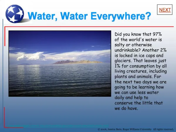
Surface water resources • Fresh water supply • Essential for • Direct human consumption • Crop and livestock • Industry • Scarcity of water resources • Many populations around the world lack access to clean drinking water • Cause of socio-political conflicts
Water-related conflicts in California • Colorado River • Colorado River Compact among 7 states • Dispute between Imperial County and San Diego. • Effect of Los Angeles Aqueduct on Mono Lake, Owens Lake, Owens River Gorge
Groundwater - Subsurface water contained in pore spaces in sediment and rock • Zone of aeration (vadose zone): pore space mainly filled with air • Saturated zone (phreatic zone): pore space filled with water • Water Table: Top surface of the saturated zone
Groundwater • Groundwater moves through the interconnected pore spaces of rock and sediment from areas of higher pressure to areas of lower pressure • Rock porosity • Relative amount of space in underground rock • Rock permeability • Ease of flow through rock
Groundwater • Water table tends to mimic topography • The water table comes up to the surface at streams, springs, and lakes
Discharge and Recharge • Water percolation - Process of water seepage through rocks and sediment • Recharge - Replenishment of groundwater • Discharge – process of water moving from the subsurface to the surface.
Aquifers and Aquicludes • Aquifer • Saturated rock or sediment that is porous and permeable, so able to be accessed by well. • Aquiclude • Layer of impermeable rock or sediment from which water cannot be drawn
Types of Aquifers • Unconfined aquifer • Water table not protected from surface recharge • Vulnerable to surface and near surface contamination • Well water rises to water table and must be pumped to surface • Confined aquifer • Protected from surface by aquiclude, • Recharge area is often distant • Water under pressure and rises above water table in well
Artesian Well • Well which accesses water from a confined aquifer • Water rises in artesian wells without pumps due to release of confining pressure • Less likely to be contaminated by surface runoff, but otherwise the same H2O.