Download
1 / 15
160 likes | 260 Views
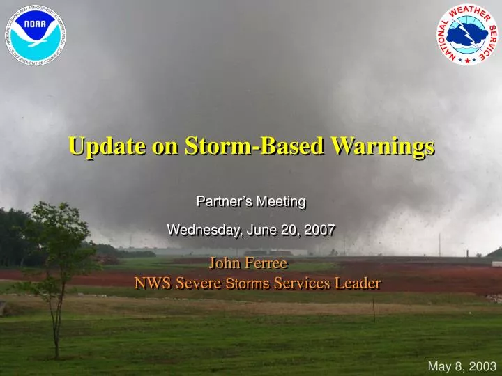
Update on Storm-Based Warnings. Partner’s Meeting Wednesday, June 20, 2007. John Ferree NWS Severe Storms Services Leader. May 8, 2003. The Weather Warning Partnership. National Weather Service. The Public. News Media and Private Sector Meteorologists. Emergency Management.

E N D
Update on Storm-Based Warnings Partner’s Meeting Wednesday, June 20, 2007 John FerreeNWS Severe Storms Services Leader May 8, 2003
The Weather Warning Partnership National Weather Service The Public News Media and Private Sector Meteorologists Emergency Management
Why Storm-Based Warnings? Three simultaneous tornadoes within line of severe thunderstorms • More specific • Increased clarity • Supports newdissemination technology Storm-Based Tornado Warnings 70% less area covered ~600,000 fewer people warned County-Based Tornado Warnings 8 Counties under warning Almost 1 million people warned
An Extreme Example ofFalsely Alarmed Area • Severe Thunderstorm Warning for San Bernardino and Riverside County CA • 3.5 million people • 27,000 square miles • Threatened Area • < 2000 people • 750 square miles
AT 425 PM MST...NATIONAL WEATHER SERVICE DOPPLER RADAR INDICATED A SEVERE THUNDERSTORM. THIS STORM WAS LOCATED 12 MILES SOUTHWEST OF AKRON...AND MOVING NORTHEAST AT 20 MPH. • THE SEVERE THUNDERSTORM WILL BE NEAR... AKRON AND 8 MILES WEST OF LATNER BY 500 PM MST LAT...LON 4031 10316 4011 10303 3998 10346 4014 10356 TIME...MOT...LOC 2325Z 248DEG 18KT 4010 10340 Feature Tracking Added • Location and motion of feature • Estimated location of tornado, leading edge of gust front, leading edge of hail core, or other.
Outstanding Issues for Storm-Based Warnings • County Warning Area (CWA) boundaries • Multiple warnings in a county • Local Storm Report (LSR) improvements • CAP format
ILX Bond Fayette Madison Clay STL St. Louis CWA Marion Clinton Paducah CWA St. Clair Wayne Washington Jefferson Lincoln CWA Hamilton Perry Randolph PAH Franklin Jackson Saline Williamson County Warning Area Boundaries
St. Louis CWA Issued by PAH Paducah CWA Issued by STL Lincoln CWA County Warning Area Boundaries ILX Bond Fayette Madison Clay STL Marion Clinton St. Clair Wayne Washington Jefferson Hamilton Perry Randolph PAH Franklin Jackson Saline Williamson
Multiple Warnings in One County/Parish Bond Fayette Madison • Issue for text, radio, TV crawls • Add reference to other valid warnings • Include counties with directional delimiters? • Summary severe weather statements? Marion Clinton SVR until 3:45PM St. Clair Washington Jefferson TOR until 3:30PM Perry Randolph Franklin Jackson Williamson
New Requirements forLocal Storm Reports (LSR) • Individual report output with VTEC ETN • Accurate corrections • Cumulative report output • One line per report (15 reports in 15 lines) • Flexible time range (severe reports 18Z – 21Z) • Flexible report type (snowfall accumulation) • CAP/XML Format
CAP Format “The Order requires EAS participants to accept messages using Common Alerting Protocol (CAP)…to ensure the efficient and rapid transmission of EAS alerts to the American public in a variety of formats (including text, audio and video) and via different means (broadcast, cable, satellite, and other networks) and to promote the development of Next Generation EAS.” Federal Communications Commission Announcement May 31, 2007 http://www.eic.org/docs/FCCCAPEASnotice.pdf
Summary of Outstanding Issues for Storm-Based Warnings • County Warning Area (CWA) boundaries • Multiple warnings in a county • Local Storm Report (LSR) improvements • CAP format
Questions? • Contact information • E-mail: John.T.Ferree@noaa.gov • Phone: 405-325-2209 • Success depends on all of us!