Download
1 / 22
220 likes | 221 Views
2003 NSF REU. Soil Evaporation and Classification Kacey Cubine, Scott Horton, Rose Rotter, and Noah Friesen. Featuring. Brief Overview Project Objectives Procedure Results Conclusions Continuing Research. From Birth to Extinction. Over 1,800 miles in length

E N D
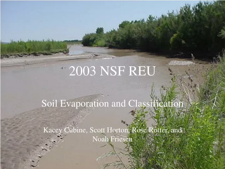
2003 NSF REU Soil Evaporation and Classification Kacey Cubine, Scott Horton, Rose Rotter, and Noah Friesen
Featuring • Brief Overview • Project Objectives • Procedure • Results • Conclusions • Continuing Research
From Birth to Extinction • Over 1,800 miles in length • Draws water from Southern Colorado Rockies • Water used for irrigation, residential, tribal, recreation, and habitat.
The Debates • Drought • Current Events • Restoration Projects
Objectives • To locate appropriate sites for field research • To classify the soils at those locations • To infer soil evaporation behavior from soil conditions
Sites Middle Rio Grande Valley
Classification Tests • Sieve tests • Hydrometer • Atterberg limits
Soil Properties • In situ Density • Specific Gravity • Hydraulic Conductivity • Suction • Moisture Characteristic Curve
Results Shirk Data Sevilleta
Conclusions ==Location== • Sites were found, but are not perfect. • Water table depths between 122 cm and 162 cm.
Conclusions • Layers are not consistent throughout the Bosque. • Predominant soil types. ==Characterization==
Conclusions • There is a potential gradient. • Equipment is not perfect. • Time is of the essence. ==Tensiometers==