Download
1 / 19
200 likes | 361 Views
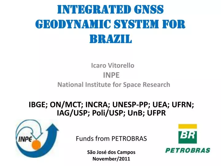
Integrated GNSS Geodynamic System for Brazil. Icaro Vitorello INPE National Institute for Space Research IBGE; ON/MCT; INCRA; UNESP-PP; UEA; UFRN; IAG/USP; Poli /USP; UnB ; UFPR Funds from PETROBRAS São José dos Campos November/2011.

E N D
Integrated GNSS Geodynamic System for Brazil IcaroVitorello INPE National Institute for Space Research IBGE; ON/MCT; INCRA; UNESP-PP; UEA; UFRN; IAG/USP; Poli/USP; UnB; UFPR Funds from PETROBRAS São José dos Campos November/2011
USE OF SPACE TECHNOLOGICAL GROUND-BASED NETWORKS to PROBe THE DEEP EARTH’S INTERIOR
SCOPE OF FIRST PHASE Deployment of an integrated instrumental system to continuously measure, monitor, process, store, assimilate and distribute high precision and low latency data of horizontal and vertical geodesic positioning from permanent and temporary GNSS stations in continental and oceanic islands of Brazil.
ULTIMATE GOALdocument and model the continental and oceanic lithosphere’s dynamic responses to the tectonic forces that are acting on the South American Plate
INFORMATION FLOW GNSS data from each station corrections orbit of the satellites ionosphere delay (TEC; scintillations) troposphere water vapor multipath interference Integration with different techniques (GGOS stations) Models integrating GNSS velocity vectors with mm accuracy and Earth’s internal fields Gravity; Geomagnetic; Telluric; Seismic travel times
EQUIPMENT & SITE REQUIRENMENTS Equipments and mechanical support: state-of-the art sensors and components that were designed and built for the intended climate and areas subjected to a high rate of deterioration, such as high humidity in the Amazon region and salinity of the air at sites located near the ocean. Network configuration: site locations to have anhomogeneous geographic and tectonic distribution; ideally with equidistant spatial site separation, in order to monitor translation and rotation of the plate; Local Geology and Monuments: ideally construction should be in bedrock; away from known faults; Reinforced concrete pillars for survey monuments, at least 2m into subsurface are required in sedimentary areas; Weather and Sky Conditions: The ideal meteorological parameter is a clear and dry sky with no air pollution; Radio Frequency, Acoustic and Electromagnetic Interference: Sites should not be located in the path of, or near the emitters of radio, television, or microwave signals in the sensitive frequency regions in the band of 1.1 – 1.6 GHz range; Also, explosions and the 60Hz electrical energy noise should be avoided.
Horizon Conditions: the viewing horizon should have a 5-degree elevation and obstruction free view over 95% of the horizon. Reflective surfaces, bodies of water, cliffs, walls and metal walls should be avoided because of GNSS multipath interference from structures (particularly metal), including wires separated by 15 to 25 cm and metallic fences, within 100m of the GNSS antenna. • Communications: adequate to transmit a stream of data electronically for rapid processing, ideally broad-band internet communications for near real-time data transfer, instrument control and monitoring. Must have data safeguard against communication and power failures. • Power system & lightening protection: robust, reliable solar power generation with sufficient backup to maintain continuous operation; underground cable guides to avoid impacts or damage by lightening. • Site Security and Safety: to protect the equipments and monuments that might be destroyed, vandalized, or stolen.
Basic Topology of Integrated GNSS SystemPermanent Stations / Data repository, analysis & web
DATA GATHERING INFRASTRUCTUREGround-based co-located multipurpose sensors for continuous monitoring of the Earth’s surface changes multi-frequency GNSS receiver (Trimble Net-R8) choke-ring antenna three component vector fluxgate magnetometer, two component telluric sensor (electrodes), three component atmospheric parameter sensor (temperature, pressure and humidity).
HIGH PERFORMANCE TWIN COMPUTER SYSTEMSão José dos Campos & CachoeiraPaulista (SP)
HOMOGENEOUS GEOGRAPHIC DISTRIBUTION INCRA – RIBaC
HOMOGENEOUS TECTONIC DISTRIBUTION Geographic distribution of proposed GNSS sites showing the places of future sites in black and stations already in operation, in other colors. The dashed red line shows the present day magnetic equator. The colored background indicates the limits of tectonic provinces.
RELATED RESEARCH AND APPLICATIONS • AMAZON DENSE GNSS METEOROLOGICAL NETWORK • understanding the complex water vapor/deep convection relationship of Amazonian rain forest.Twenty one stations in and around Manaus, to capture the dry-to-wet transition and the wet season. • GPM-CHUVA IOP: Fifteen stations were deployed during the dry season in Belem, July 2011. • GPM-CHUVA VALE DO PARAIBA: Three stations deployed during the rainy season from September, 2011.
COLLABORATIONSEMBRACE - Space weather program in Brazil. SCINTEC PROJECT – Scintillation and TEC.LISN – Low Latitude Ionospheric Sensor Network.GEORED - Geodesy Network for Geodynamics Research in Colombia.PIRATA – Pilot Research Moored Array in The Tropical Atlantic