Download
1 / 38
380 likes | 726 Views
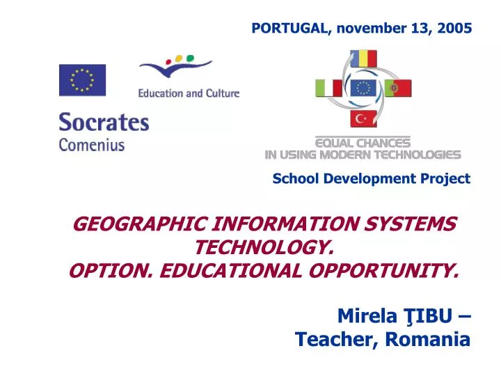
PORTUGAL, november 13, 2005. School Development Project. GEOGRAPHIC INFORMATION SYSTEMS TECHNOLOGY. OPTION. EDUCATIONAL OPPORTUNITY. Mirela ŢIBU – Teacher, Romania. November 13, 2005. November 13, 2005. G EOGRAPHIC I NFORMATION S YSTEMS. Geographic Data - Information of the future.

E N D
PORTUGAL, november 13, 2005 School Development Project GEOGRAPHIC INFORMATION SYSTEMS TECHNOLOGY. OPTION. EDUCATIONAL OPPORTUNITY. Mirela ŢIBU – Teacher, Romania
November 13, 2005 GEOGRAPHIC INFORMATION SYSTEMS Geographic Data -Information of the future
November 13, 2005 Our Planet Is Like an Oasis in the Universe . . . Providing • Food • Air / Atmosphere • Water • Energy / Fuel • Minerals • Medicine • Construction Materials . . . Our Spaceship Earth
November 13, 2005 Geography is connected … …with all around us
November 13, 2005 Humans Are Having an Increased Effect on Our Planet Creating High Demand on the Environment • Biodiversity • Natural Resources • Energy • Climate (Global Warming) • Water Population Urbanization Resource Consumption Pollution And It Is Not Sustainable
November 13, 2005 Geography and GIS Provide a Promising Framework for Understanding What’s Going On . . . Improving Our Scientific Knowledge • Resources • Processes • Relationships • Threats/Risks • Dependencies
November 13, 2005 Plan Decide Analyze Action Measure Observe . . . GIS Provides a Process for Guiding and Integrating Human Activities • Many Scales • Many Fields . . . And a Framework For Action
November 13, 2005 GIS is developing Project System Network Integrated Distributed Co-ordinated
November 13, 2005 What is GIS? • Computerized instrument to define and analyze any elements or events that have a geographic component. • System organized with informatics method, that allows to define, build, update and exploitation of geo-topographic maps. • Modern technology that analyze information about the real position of the data with their significations.
November 13, 2005 What isn’t GIS? • A static map • A GPS • A simple software package
November 13, 2005 GIS Components Software Peopleware Date Hardware GIS Procedures
November 13, 2005 Two methods to introduce and see the data in a GIS system Raster – Grid • “pixels” • A location and a value • Satellite images and photos are in this edition Real world • Vector – Linear • Dots, lines & polygons • “characteristic” (houses, lakes, roads, buildings etc.) • Ascribes (dimension, type, length, area etc.)
November 13, 2005 How GIS works • The data is organized like a collection of thematic layers
November 13, 2005 Dots Lines Polygons Text The layers contain specific features
November 13, 2005 Social factors Biological factors Engineering factors Area utilization Environment factors The limit and the integration parts allows... …visualization of the entire
November 13, 2005 GIS development steps The geographical data are the main material in a GIS. • Introduction • Storage • Administration • Interrogation • Analysis • Viewing
November 13, 2005 A software solution: ArcView GIS application by ESRI • integrate maps, graphs, tables, pictures • mapping Visual instruments • editing of geographical and tabular information • complex tool set for using texts, charts, layouts • included programming framework (the Avenue language) • capabilities of interrogate and identifying maps characteristics • complex capacitates of analyzes (extensions) • Viewing
November 13, 2005 Shape View - Shape collection Chart Tables Layout Avenue Scripts Basic elements in project development with ArcView GIS
November 13, 2005 Types of data used in ArcView GIS • Geographical data- - shape files (.shp), themes from databases, files saved in AutoCAD through maps digitizing (.dwg); • Attribute data - tables data from .dbf files, Excel files, database servers as ORACLE, SYBASE etc, ASCII files • Imagine data – (.jpg, .gif) • Grid data - they need the Spatial Analyst Extension
November 13, 2005 Exploring the world using GIS transforms data into information and information into knowledge • Data interrogation (Query) • finding the optimal paths through given points (Network Analyst) • identifying all features with specific properties Dates analysis • Spatial Analyst • Special analyze for business environment (Business Analyst)
November 13, 2005 Who can use ArcView GIS? • Emergency services – Police department, Firemen department, Ambulance • Agencies of environment protection- Monitorizing & Modelling • Business– Distribution systems, client profile analysis, zone comparing, detailed reports, etc • Transportation, Communications • Networks utilities • Institutions– local, regional, governmental • Education – research, didactic process, etc • Administration – institution, county, regional or national level
November 13, 2005 The geographic information is the future of information. For the development and efficient usage of this kind of information there must be trained specialists and educated the beneficiaries… Where do we have to start? From school!
November 13, 2005 • How can we get inside the GIS world? • informing (presentations, Internet, specialized material) • interdisciplinary classes (geography-computer science) even from the beginning classes, for understanding the concepts • collaboration with other schools or institutions that use this technology • taking the necessary steps for obtaining free educational software license for GIS (ex. ArcView GIS) • introduction of some optional curricula based on GIS technologies Useful Links www.esri.com www.gisday.com ww.geosystems.ro
November 13, 2005 • The Advantages of promoting GIS in schools • initiation of future beneficiaries • forming specialists • developing of some viable partnerships between schools and institutions by involving the students in the creation of GIS projects useful to community • forming the team-work ability by assuming roles and responsabilities • making contact with the socio-profesional sphere, with the actual necessity of society • enhacing creativity
November 13, 2005 GIS in schools OPTIONAL CURRICULA Extensive Courses Optional Courses Follows the discipline’s analytical curricula Follows the curricula developed by developed by MEN (National Education Dpt) the teacher / teachers of that course Interdisciplinary Courses Interdisciplinary Courses
November 13, 2005 GIS technology –optional curricula Argument: The impact of GIS on the society reveal that an essential component of school education, is represented by the study of GIS concepts. Developing students abilities in communicate and using geographic data will create the premises of their future implication in designing and updating useful GIS.
November 13, 2005 General objectives • the description of essential concepts of GIS technology • Developing abilities to use specialized software applications (ex. ArcView GIS) for GIS implementation • developing skills for team-working • Enlarge the area of selection for future career
November 13, 2005 Duration of course 1 – 4 years – depending on the level of theoretic acquisitions and practical abilities and on the number of solicitors Place Computer science laboratories Frequency 1 hour/ week Number of students 12-16 students/class
November 13, 2005 GIS Projects developed by “Grigore Moisil” Computer Science High School students with the permanent support of the IT specialists in ROMTELECOM Iasi Iaşi – Public Utilities Guide Palace of Culture Iaşi Paşcani - Public Utilities Guide SC. TOMIRIS SA Cultural Copou Teatrul “Luceafărul” Historical Center of Iaşi Naţional Theatre Computer Science High School Botanical Garden Environment factors in Iaşi “EuroEd” Private School School Net of Iaşi Cathedral of Moldova and Bucovina
November 13, 2005 “ GIS applications are limited only by the imagination of those who use them .”Jack Dangermond - ESRI President