Download
1 / 18
180 likes | 318 Views
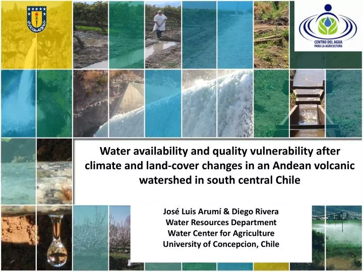
Water availability and quality vulnerability after climate and land-cover changes in an Andean volcanic watershed in south central Chile. José Luis Arumí & Diego Rivera Water Resources Department Water Center for Agriculture University of Concepcion , Chile. Colaborators.

E N D
Water availability and quality vulnerability after climate and land-cover changes in an Andean volcanic watershed in south central Chile José Luis Arumí & Diego Rivera Water Resources Department Water Center for Agriculture University of Concepcion, Chile
Chile´s Central Valley Poorly understood Andean hydrology Economical and social expansion pressure Andean watersheds Lack of information and understanding regarding ecological services Potential conflicts between stakeholders
Climate change impact • Andes Mountain snowmelt is the main source of water of Central Chile • Climate Change will Snowmelt will be earlier • Less snowmelt in late summer and early fall • More dependency on groundwater base flow
Diguillin watershed • The lower part is an important agriculture area. • The upper part is an important tourist area
Lower part of the watershed uses water for irrigation • High inversion on agriculture and irrigation • World's highest yield on Sugar Beat • Blueberry, wheat, corn and horticultural products • High dependency on water availability and quality.
Headwaters • The Renegado creek : tourism (Sky, trekking and thermal baths ) • The upper Diguillin river: a natural reserve (Hydropower v/s biodiversity)
The problem: No closure for the water balance + Similar hydrological features implies similar hydrology + The Upper Diguillin has more water than the Renegado creek. Why? + Do similarhydrological features imply similar hydrology?
Volcanism controls the hydrology Nevados del Chillán Complex The upper Diguillin river drains an aquifer inside the volcanic complex Renegado´s hydrogeology comes from recent lava deposits fracture rock system + thick sandy soils high infiltration
Renegado: Highly permeable soils favors infiltration to the fractures and low surface runoff Groundwater from the Renegado discharges directly to the Diguillin river. Discharge keeps a minimum flow at the river during dry years
Land cover change The Renegado Valley is under a strong pressure for second-housing development
The highly permeable soil and the fractured rock system at the Renegado watershed, where there is an important development of tourism and construction of weekend houses, produces questions about the fate of pollutants introduces to the systems by wastewater infiltration from septic tank. • The pathways between pollutant recharge areas and springs discharge are unknown and most be identified to improve the sustainable develop of the whole watershed.
The upper watershed drains to the river Upper watershed Lower watershed
Thanks José Luis Arumí, Diego Rivera Water Resources Department University of Concepcion, Chile