Download
1 / 30
310 likes | 836 Views
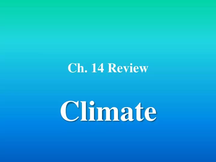
Ch. 14 Review. Climate. Why would point A have the warmest climate?. The majority of the Sun’s rays are absorbed at point A. The Sun’s rays are nearly perpendicular to point A. More of the Sun’s rays hit point A than any other place on Earth.

E N D
Ch. 14 Review Climate
Why would point A have the warmest climate? • The majority of the Sun’s rays are absorbed at point A. • The Sun’s rays are nearly perpendicular to point A. • More of the Sun’s rays hit point A than any other place on Earth. • Point A is closer to the Sun than any other point.
What zone is point B located in? • the tropics zone • the temperate zone • the moderate zone • the polar zone
What zone is point C located in? • the tropics zone • the temperate zone • the moderate zone • the polar zone
A scientist wants to update data on the climate normals for Las Vegas, Nevada. If he starts keeping weather records in 2008 what year will be the soonest that the scientists can claim the collected data as new climate normals? • 2028 • 2033 • 2038 • 2043
What did Wladimir Köppen originally use to classify different climatic regions? • precipitation amounts • average temperature • unique animal species • natural vegetation
In the diagram, the spring and fall seasons are occurring. Which pole is pointing towards the Sun? • Both • Neither • the North pole • the South pole
As the Earth revolves and the North Pole tilts towards the Sun, what season would the southern hemisphere experience? • winter • spring • summer • fall
As the Earth continues to revolve, which location will experience the least climate change? • 0° • 30°N • 30°S • 60°N
What short term climate change is being demonstrated in the diagram? • The onset of spring • The onset of fall • El Nino • La Nina
What type of weather will the western coast of South America experience during this short-term climate change? • cool and dry • warm and wet • cool and wet • warm and dry
Which natural phenomena will, over the next 13,000 years, gradually causes the Northern Hemisphere to experience summer during today’s current winter? • solar activity • Earth’s orbit • Earth’s tilt • Earth’s wobble
Calculate the range between lowest and highest recorded temperatures. • 1.2°C • 1.6°C • 0.6°C • 0.7°C
In addition to average weather conditions, climatological data also describes annual variations and fluctuations of temperature, precipitation, ____, and other variables. • cloud height • wind speed • ocean temperature • soil moisture
The following are true about climatological normals EXCEPT: • They represent the standard values for a location. • They are averaged on a monthly or annual basis. • They describe normal weather conditions. • The information applies only to the place where the data were collected.
A widely used climate classification system is the ____ system. • Maunden • Topographic • Koeppen • Korten
Studies indicate that periods of low sunspot activity, like the ____, correspond to unusually cold climate conditions. • Maunder minimum • Maunder ice age • Maunder divide • Maunder maximum
The burning of fossil fuels releases large amounts of ____ into the atmosphere, which contributes to global warming. • carbon monoxide • calcium carbonate • carbon dioxide • sulfur dioxide
Types of climate data include annual variations in temperature, precipitation, and ____. • air pollution • water cycle • wind • topography
Two climates that are at the same latitude may be different because of • bodies of water. • distance from the poles. • Earth’s magnetic field. • soil type.
When moist winds approach a mountain, they often drop rain as they rise over the mountain, and come down the other side of the mountain much • cooler and drier • cooler and wetter • warmer and drier • warmer and wetter
The climatic zone that receives the least solar radiation and has the coldest climate is the • polar zone • tropical zone • equatorial zone • temperate zone
The major criteria used to classify climates are temperature and amount of precipitation. • True • False
Periods of extensive glacial coverage are called glacial ages. • True • False
The shape of Earth’s landmasses and the tilt of its axis could have triggered climate changes in the past. • True • False
When Earth’s elliptical orbit elongates during its 100 000-year cycle, Earth passes closer to the sun and temperatures become warmer than normal. • True • False
The greenhouse effect is the natural cooling of Earth’s surface caused by certain gases in the atmosphere. • True • False
The Koeppen classification system classifies climate based on mean monthly values of temperature and precipitation. • True • False
One of the effects of El Niño is that the jet stream shifts farther north. • True • False
The Maunder minimum is a period of very low precipitation activity that closely corresponded to an unusually cold climatic episode. • True • False