Download
1 / 25
280 likes | 492 Views
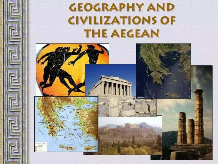
Geography and Civilizations of the Aegean. Ancient Greek Geography. A peninsula At the southern end of the Balkans 1400 islands maritime culture About the size of Alabama Slightly larger than Ohio. Peloponnesus. Peninsula within a peninsula. Important Geographic Features of Greece.

E N D
Ancient Greek Geography • A peninsula • At the southern end of the Balkans • 1400 islands • maritime culture • About the size of Alabama • Slightly larger than Ohio
Peloponnesus Peninsula within a peninsula
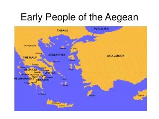
Important Geographic Features of Greece • Aegean Sea – east • Ionian Sea - west • Mediterranean Sea – south Surrounded on three sides by sea
The Hellespont • Strait connecting Aegean Sea and Black Sea • separates Asia Minor and Greece • Now known as 'the Dardanelles'
Important Geographic Features of Greece Surrounded on three sides by sea Largely covered by rugged mountains • 80% of Greece is covered by mountains or hills • Pindos Mountains • “Greek Rockies”
Important Geographic Features of Greece Surrounded on three sides by sea Largely covered by rugged mountains • Highest point is Mt. Olympus (Olimbos) • 9570 ft.
Mount Olympus Home of the gods ??
Important Geographic Features of Greece • Hot/dry summers • Cool/wet winters (¾ of rainfall) • ¼ of land suitable for farming • olives olive oil, grapes wine, wheat bread Climate good for growing olives and grapes Surrounded on three sides by sea Largely covered by rugged mountains
Corfu Crete Mykonos Rhodes Santorini (Thera) 1400 Islands • 227 are inhabited • Largest is Crete • Tourism
Crete • Largest Greek island • Home to the Minoans • Capital was Knossos
Cyclades Islands • Archipelago • 220 islands • Underwater part of Pindos Mountains
Thera • Minoan island Atlantis ??? • Destroyed in 1628 BC by a super volcano • http://dsc.discovery.com/convergence/supervolcano/interactive/interactive.html
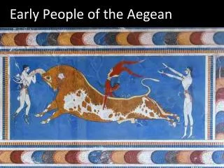
The Minoans • Named Minoans after King Minos
Palace at Knossos • 1400 rooms • “Minotaur” in the labyrinth ?
Minoan Writing • Linear A • 1700 BC – 1450 BC • We can’t read it yet • Linear B • 1450 BC – 1350 BC • We CAN read this
Minoan Commerce • Great shipbuilders • Large trade network • Exported • wool • olive oil • timber • Imported • other raw materials • luxury items
End of Minoan Civilization • Theory 1 • Mycenaeans - 1400 BC • Theory 2 • volcano at Thera - 1628 BC • May have allowed “Theory 1”
The Mycenaeans • 1600-1150 BC • City of Mycenae • on mainland Greece • Liked war… a lot! • King Agamemnon • led the Greeks during Trojan War
Dawn of the “Dark Ages” • Mycenae destroyed - 1150 BC • Earthquakes ?? Sea People ?? Pirates?? • Greece entered “Dark Ages”
The Trojans • City of Troy • Trade rival vs.Greeks • King Priam and his son Paris
Trojan War • 10-year war • Greeks destroyed Troy - 1190 BC • Trick? Trojan Horse
Just For Fun !!! • Visit the major Greek Islands on Google Earth • Download it at http://earth.google.com • Under “Layers” at bottom left of screen • Check boxes for • Terrain • Featured Content • Borders • Populated Places • Geographic Features (optional – shows mountains, volcanoes, earthquakes, etc.) • Click here to download and install the Google Earth .kmz file to add the these Greek islands to your “My Places” • You can use Wikipedia to get coordinates • http://www.wikipedia.org • Copy and paste coordinates into Google Earth
Just For Fun !!! • The Cyclades Islands – 37°00′N 25°10′E • Thera (Santorini) – 36°25'N 25°26'E • Volcano – 36°24'14.40"N 25°23'45.60"E • Delos – 37°24′N 25°16′E • Ruins / Amphitheatre – 37°23'54.44"N 25°16'1.13"E • Crete – 35°18′N 25°10′E • 1400-room Palace of Minos at Knossos – 35°17'52.68"N 25° 9'48.10"E • Lesbos – 39°10′N 26°20′E • Sappho’s city of Myteline – 39° 6'11.42"N 26°33'24.85"E • Rhodes – 36°10′N 28°00′E • Colossus of Rhodes and Medieval city – 36°26'49.12"N 28°13'49.58"E • Salamis – 37°58′N 23°30′E • Paloukia Port – 37°57'41.52"N 23°31'42.61"E