Download
1 / 32
330 likes | 498 Views
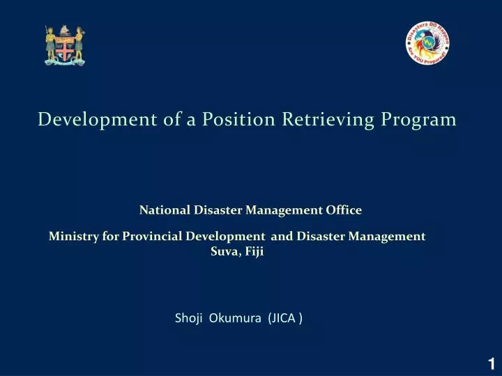
Development of a Position Retrieving Program . National Disaster Management Office . Shoji Okumura (JICA ). Ministry for Provincial Development and Disaster Management Suva, Fiji. 1. Background of the Project.

E N D
Development of a Position Retrieving Program National Disaster Management Office Shoji Okumura (JICA ) Ministry for Provincial Development and Disaster Management Suva, Fiji 1
Background of the Project When we want to plot objects on a map, we have to know their exact locations on the map. In many cases we refer the map objects on documents and we have to find their locations usually with their addresses. We frequently encounter difficulties in these processes especially for Fiji. We wanted to have some tools which assist us to find the absolute locations of the object with their names and additional information given by addresses. 2
Outline of Location Retrieving System Server Machine 3
Computer System : HP Z400 Workstation • Processor : Intel Xeon W3520, @2.66 GHZ • Memory : 5GB Storage : 500 GB Hard Disk • Monitor : HP LP 2475w • Operating System : Windows 7 Standard → Windows XP, SP3 Server Computer 4
GIS • MapInfo: Professional Version 10.0 • MapBasic : Version 9.5 Software on the Server Computer • Database and Programming • Microsoft SQL Server 2008 R2 Enterprise • Microsoft Visual Studio 2010 Professional • ( Internet Information System ) 5
A Windows Application: Used on the Server Computer. A Windows Application: Used on client computers on the network. A Web Application: Used on the Internet Browsers. Overview of Programsdeveloped 6
Starting View (Windows Application -1) 7
Starting View (Findlocation_win) 8
Starting View (Findlocation_win) 9
View for Dropdown List of Category (Windows Application) 10
View for Dropdown Menu for Category (Findlocation_win) 11
View for Dropdown List of Tikina (Windows Application) 12
View for Dropdown Menu for Tikina (Findlocation_win) 13
Search by Name (Windows Application) 14
To Find Map, “Where” or “which Map” Button is clicked (Windows Application) 15
View for Name Search and “which Map” (Findlocation_win) 17
Popped up MapInfo Map 18
Starting Screen of Windows Application -2 19
View for Initial Screen of web version 20
Combined Search 22
Database Management System : Microsoft SQL server 2008 Source of Location Data : About 15 GIS Tables from FLIS Preparation of Location Database -1 Tables used : Coast_Fiji.tab (Islands)(461), VilagePoint.tab(111), VillageBoundary.tab(1067), TownBoundary.tab(13), OldTikina.tab(197), NewTikina.tab(62), Settlements.tab(1159), Province.tab(15), Province_All.tab(17), Places.tab(3656), Trigs.tab(635), VRC_ElectionsFJ.tab(934) , etc. Total number of rows in Locations database is approximately 8300. 23
Structure of the Location Table : Preparation of Location Database -2 24
Output from SQL Server (Location Table) 25
Output from SQL Server (Categories Table) 26
Comments for making the Location Database There are many cases where the different places have the same name. It usually needs for us to have additional information to identify them. The set of areas Tikina ( called as “District” in the governmental administration.) is desirable as an intermediate size of areas which cover the whole Fiji. But it’s not a unique set of definition. There are other sets for Tikina (For an example, Oldtikina). I hope they should be standardized to havea unique set of definition. In Suva city the sub-divisional area names are commonly used (For examples, Tamavua, Nabua,Toorak, ..). But the maps which show their definite boundaries have never been published from the Min. of Lands. The source databases we have used have missing or error data for positions and names. The missing and error data are inherited into our location database, although we have corrected those which we could find. We want to have some open system to share the corrections of GIS data in Fiji. As my opinion, such kinds of database as those which I have made should be developed, maintained and opened to public use by some adequate governmental agency . 27
Conclusion The design and implementation of the program to find the absolute locations of places in Fiji have successfully completed. I believe that it’s very useful for creating new maps to show the various kinds of map objects. I think our system will assist for people in Fiji to get their good common practices in writing addresses in documents . The position database should be further developed and updated to be error-free and to have no missing data. We want to implement the program as a service program on the Internet. 28
Acknowledgements I would like to acknowledge many helps which have been given in the course of this work by the staff in NDMO. I would like to express my gratitude to LiteaBuikoto of SOPAC for her pertinent cooperation in this work and Rashmi Rita of FLIS for providing us with the Fiji GIS baseline data. 29
Errors in Data Caast_Fiji / Island name: Tavu Na Siga (position :180.909,-18.724), where In 1/50000map, name is Tabunasisi. Coast_Fiji / Cikobia Island : shifts by about 5 km in the northeast direction. Coast_Fiji / Name of two islands pair in the south edge of Fiji territory: Tabana-i-Colo, Tabana-i-Ra, These are spelling errors? Coast_Fiji/ Batiki Island : shifts by a few km in the north direction. Village_Boundaries/ 36 villages have the coordinates of positions near the Antarctic land. Census_2007/ Several Islands in Southern Lau Group are shifted in random directions by from 1 to 10 km. Places/ Name of Places: Korovou Town, Veileka Town; wrong types of names.