Download
1 / 16
160 likes | 248 Views
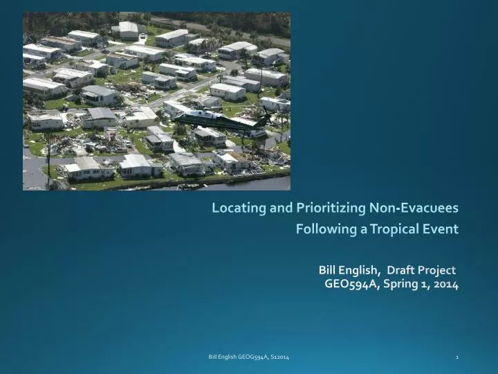
Locating and Prioritizing Non-Evacuees Following a Tropical Event. Bill English , Draft Project GEO594A, Spring 1, 2014. Analytical question.

E N D
Locating and Prioritizing Non-Evacuees Following a Tropical Event Bill English, Draft Project GEO594A, Spring 1, 2014 Bill English GEOG594A, S12014
Analytical question • Following a hurricane or tropical storm landfall along the southwest coast of Florida, what locations are more likely to have a higher number of non-evacuees requiring relief and damage assessment via the use of air assets? • Exemplar event – Hurricane Charley, SW Florida, 2004 • Identify likely locations of non-evacuees • Correlate and triage damage areas with response assets Bill English GEOG594A, S12014
Background - Known facts Venice Port Charlotte • Limited evacuation route options • False alarm effect • Population spread from towns and on barrier islands Punta Gorda Bill English GEOG594A, S12014
Population change data Bill English GEOG594A, S12014
Historical Tracks - NOAA Hurricane tracks for over 100 years. (TS not depicted) Hurricane Charley highlighted Bill English GEOG594A, S12014
Sarasota County Evacuation Map (excerpt) Bill English GEOG594A, S12014
Lee County Evacuation Map (excerpt) Bill English GEOG594A, S12014
Analyze Travel Cost Distance Bill English GEOG594A, S12014
Road, Feature Class A A1 - Primary Highway With Limited Access- Interstate highways and some toll highways, distinguished by the presence of interchanges.A2 -Primary Road Without Limited Access- mainly US highways, may be divided or undivided, and have multi-lane or single-lane characteristics.A3 -Secondary and Connecting Road - hard- surface (concrete or asphalt), and are usually undivided with single-lane characteristics. A4 -Local, Neighborhood, and Rural Road- local traffic single lane of traffic in each directionA5 - Vehicular Trailusable only by four-wheel drive vehicles, fire road or logging roadA6 -Road with Special Characteristics - Includes ferry crossings (significant for the project).A7 - Road as Other Thoroughfare- not part of the vehicular highway system, bicyclists or pedestrians. Bill English GEOG594A, S12014
Mobility factors Bill English GEOG594A, S12014
Transportation and Population Factors Bill English GEOG594A, S12014
Damage imagery Port Charlotte Bill English GEOG594A, S12014
Imagery challenge USGS Site showing available tiles in GEO TIFF They should have looked like this… …but displayed like this. Bill English GEOG594A, S12014
Emergency Air Asset Placida and Rotunda Little Gasparilla Bill English GEOG594A, S12014
Conclusions • Challenge for emergency responders • Population spread from main road arteries • Natural barriers to road travel. • Determine likely concentrations of non-evacuees • Emergency support and assistance prioritization Bill English GEOG594A, S12014
Thank you for listening! Bill English GEOG594A, S12014