Download
1 / 21
210 likes | 329 Views
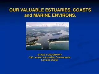
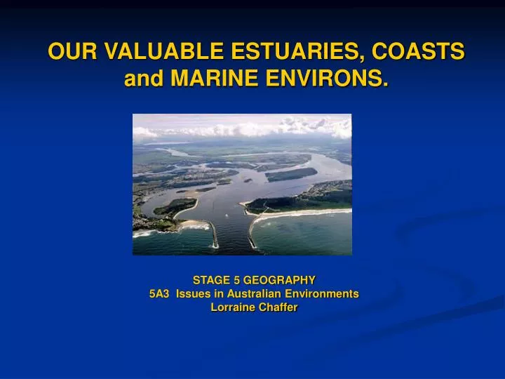
OUR VALUABLE ESTUARIES, COASTS and MARINE ENVIRONS. STAGE 5 GEOGRAPHY 5A3 Issues in Australian Environments Lorraine Chaffer.

E N D
OUR VALUABLE ESTUARIES, COASTS and MARINE ENVIRONS. STAGE 5 GEOGRAPHY 5A3 Issues in Australian Environments Lorraine Chaffer
This resource has been developed by OceanWatch Australia (OWA) in partnership with the NSW Department of Education and Training (NSW DET) and the NSW Commercial Fishermen’s Cooperative Association , funded by the NSW Environmental Trust – Education Program.
THE RESOURCE • Based around the Clarence River in Northern NSW. • The resource follows the Stage 5 Geography Syllabus, Focus Area 5A3: Issues in Australian Environments. • Covers all syllabus requirements for 5A3 including - learn about - learn to - ICT - tools • The focus issues are land and water management and waste management in a coastal environment.
Teaching Program POSTER x 6 Broadsheet x 30 Fact Sheets (OceanWatch website) YOUR HANDOUT contains Draft program Samples of draft fact sheets Draft broadsheet CONTENTS
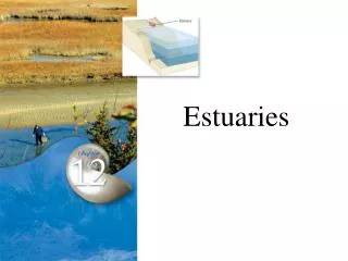
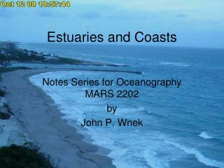
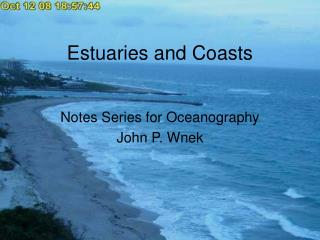
The TEACHNG PROGRAM • Introduction to the resource • Syllabus learn to and learn about • Student centred tasks that allow for Assessment for learning Assessment of learning • Worksheets for tasks • Sample answers ( for students to model their responses) • Glossary • Outline map (s) • List of websites • List of fact sheets The Clarence River estuary
The TASKS • 3 tasks to cover - an overview of 6 issues - detailed study of 2 issues including RAP and fieldwork. - learn to , learn about , tools, ICT.
THE POSTER: Task 1 Using the poster to discuss the issues affecting Australian environments followed by group work to investigate each issue. The issues include : Land and Water Management Coastal Management
Urban Growth, Air quality, Waste Management Land Management MAKING CONNECTIONS – DOWNSTREAM IMPACTS
OUR VALUABLE ESTUARIES, COASTS and MARINE ENVIRONS. THERE NEEDS TO BE AN EFFORT BY TEACHERS TO ENSURE STUDENTS SEE CONNECTIONS BETWEEN PARTS OF A CATCHMENT and THE IMPACTS OF ACTIVITIES IN A CATCHMENT ON AQUATIC HABITATS, WATER QUALITY AND DOWNSTREAM STAKEHOLDERS such as the fishing industry, tourism and recreation .... See POSTER.
MODEL ANSWER : SPATIAL INEQUALITY THERE IS ALSO A MODEL ANSWER TO THE SECOND PART OF THE TASK
The BROADSHEET BROADSHEET INFORMATION IS BASED ON THE LOWER CLARENCE FLOODPLAIN ??
PAGES 1 and 4 : WASTE MANAGEMENT SOURCES RESPONSES TASK 2 FACTS SHEETS PROVIDE DETAILED INFORMATION
TASK 2: WASTE MANAGEMENT ISSUES IN THE CLARENCE FLOODPLAIN Using • The information from Task 1 as a starting point • The broadsheet – photographs and diagrams • The Fact Sheets ( See samples in your handout) on the OceanWatch website • Preparing a lesson to present to the class - covers concept of sustainability
PAGES 2 AND 3 LAND AND WATER MANAGEMENT PROCESSES LAND & WATER USES MANAGEMENT IMPACTS TASK 3
TASK 3 : LAND and WATER MANAGEMENT ISSUESR.A.P. and COMPULSORY FIELDWORKFLEXIBILITY This task involves • Identifying land and water management issues from the previous 2 tasks. • Reading fact sheets • Compulsory fieldwork • Research Action Plan • ICT – multimedia presentation • Considerations of Climate Change Estuarine habitats are threatened by poor land and water management yet are the key to sustainable fishing industries.
TOOLS Geographical tools in this focus area The geographical tools listed below are to be integrated into teaching and learning activities in this focus area ( syllabus) Maps • calculate the density of a feature • calculate local relief • identify the aspect of a slope( Task 3) • measure bearings on a map • construct a cross-section • calculate the gradient of a slope • construct a transect ( Task 3) • construct a land use map ( Task 2 ) • read and interpret synoptic charts ( Task 3 ) Fieldwork • develop a research action plan ( Task 3) • use a variety of techniques to collect and record primary and secondary data ( Task 3) Graphs and Statistics • recognise and account for change using statistical data ( Fact sheets on waste) Photographs • collect and use digital images ( Task 1) Mostly TASK 2
FEEDBACK Please consider - would you use this resource in the format presented? - Do you see any issues with the resource ? - Any ideas for improvement or additions ? - things you think are missing ? or might be useful Suggestions from a previous workshop included - More sample answers on the other two tasks - Labels for the photos in the teachers program ( not on the broadsheet) - Flexibility in when to do the RAP and FIELDWORK ( Whole class vs. individual) - Clear topographic map, diagrams and photographs. Email lchaffer@tpg.com.au A USEFUL STRATEGY ………………… PICK THE DIFFERENCES
Sustainable urban land and water management http://audit.ea.gov.au/ANRA/coasts/docs/national/estuary_report.pdf
Sustainable management of water based activities http://audit.ea.gov.au/ANRA/coasts/docs/national/estuary_report.pdf