Download
1 / 10
100 likes | 250 Views
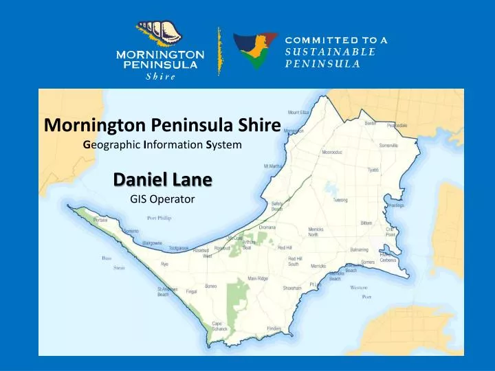
Mornington Peninsula Shire G eographic I nformation S ystem Daniel Lane GIS Operator. Presentation Overview. The Shire GIS GIS and Local Government (CEO, Executives and all Staff) GIS and Councillors GIS and the Community (Ratepayers) GIS and the Future. The Shire GIS. Modelling. &.

E N D
Mornington Peninsula ShireGeographic Information System Daniel Lane GIS Operator
Presentation Overview • The Shire GIS • GIS and Local Government (CEO, Executives and all Staff) • GIS and Councillors • GIS and the Community (Ratepayers) • GIS and the Future
The Shire GIS Modelling & Map creation Administrator Department Power Users Analysis Enquiry • Distribution
Internal Mapping – Serving the Community GIS and Local Government • Customer Service - Proclaim Linkvideo • Customer Service - Service Request video • Planning video • Assets & Infrastructure video • Rangers and Natural Systems video • Other video
Mobile Computing • Asset Data Collection • Weed Mapping • Fire Inspections • Drainage Audits • Lighting Audits • Fauna Surveys • And many more…. ArcPad
The Internal & External GIS requests • Aerial Photography • Cadastral Data – Residential Site Maps • Contour Maps • Demographic Maps– Particularly from Schools • Coastal and Foreshore Maps • And many more….
GIS and Councillors • What the Councillors wanted to see • Aerial Photography • Land Information • Building Information • Community Services • Tourism details • And many other things
GIS and the Community What does the community want to see? What is the community allowed to see? How can the community get access to information?
GIS and the Future • Community Mobile Applications • – Warringine Park and The Briars • Community Data input and upload/download of data • – Bike tracks, walking tracks. • Contractor data upload/dowload of data • – D-Spec (Drainage data) • Development of more GIS customised tools THANK YOU Questions?