Download
1 / 36
360 likes | 581 Views
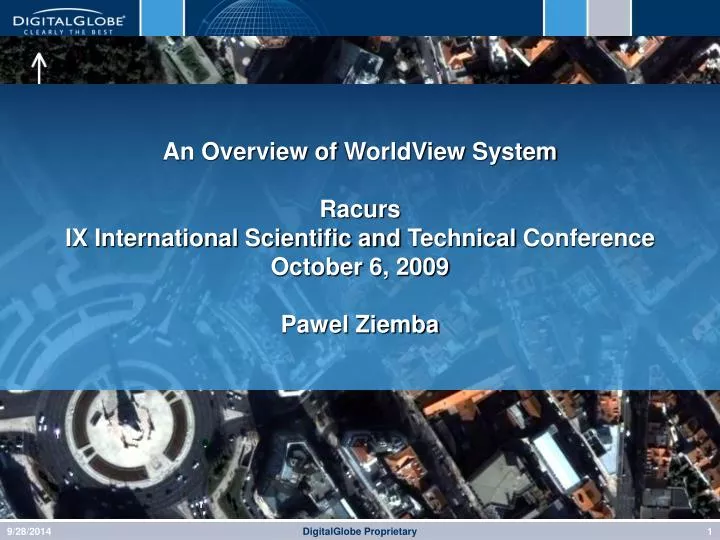
An Overview of WorldView System Racurs IX International Scientific and Technical Conference October 6, 2009 Pawel Ziemba. DigitalGlobe Current Satellites. QuickBird. WorldView-1. DigitalGlobe Satellites. QuickBird. WorldView - 1. WorldView-2 (Q3-09). Resolution. 60 cm. 50 cm.

E N D
An Overview of WorldView SystemRacurs IX International Scientific and TechnicalConferenceOctober 6, 2009Pawel Ziemba DigitalGlobe Proprietary
DigitalGlobe Current Satellites QuickBird WorldView-1 DigitalGlobe Proprietary
DigitalGlobe Satellites QuickBird WorldView - 1 WorldView-2 (Q3-09) Resolution 60 cm 50 cm 50 cm Swath Width 16.5 km 17.6 km 16.4 km Avg. Revisit 2.4 days 1.7 days 1.1 days Slew Time 62 seconds 9 seconds 9 seconds Spectral Bands Pan + 4 MS Pan Pan + 8 MS Collection *Accuracy 210,000 km2 per day 25M CE90 750,000 km2 per day 6.5M CE90 TBD 950,000 km2 per day *At nadir on flat terrain Most Advanced Satellite Constellation Aggregate capacity of nearly 2,000,000 km² per day with intraday revisits 9/28/2014 DigitalGlobe Proprietary
WorldView-2 Has Completed Thermal-Vacuum Testing;On Schedule for Launch Sep/(Early Oct) 2009 WorldView-2 Is The First Privately-Funded Next-Gen Satellite In The Industry 6 DigitalGlobe Proprietary
Aggregate Capacity of 1,910,000 km2 per day – Intraday revisits-highest commercial resolution Most Advanced Satellite Constellation Faster, Broader World Coverage together with Satellite Collection Redundancy QuickBird High Operational Excellence 4-Band Multispectral Panchromatic 210,000 km2 per day WorldView-1 Leading Collection Rates Panchromatic 750,000 km2 per day WorldView-2 Q3-2009 with intra-day constellation revisit 8-Band Multispectral Panchromatic 950,000 km2 per day DigitalGlobe Proprietary
DG Constellation Comparison (2009) 9/28/2014 DigitalGlobe Proprietary DigitalGlobe Proprietary 9
What does that really mean?? DigitalGlobe Proprietary
ImageLibrary – Over 800 Million Square Kilometers of Submeter Coverage DigitalGlobe Proprietary
WorldView-1 and WorldView-2 have: Control Moment Gyros (CMGs) to provide an acceleration more than 10X better than the competition Better Agility Improves collection efficiency Permits rapid collection of point targets and stereo Increases imaging capacity Slew Time - Agility Comparisons WorldView-2 WorldView-1 ~400 km 300 km 9 seconds 9 seconds DigitalGlobe Proprietary
Entire North/South Korean Border captured in one pass DigitalGlobe Proprietary
DigitalGlobe’s CoverageNorth Korea Missile LaunchApril 5, 2009 DigitalGlobe’s WorldView-1 satellite imaged the flight of a North Korean rocket soon after its launch from the Musudan-ri launch facility. DigitalGlobe Proprietary
N Rocket in Flight Smoke Cloud From Rocket Launch North Korea Launch Musudan-ri, North Korea WorldView-1 Image Date: April 5, 2009 Image Time: 11:31:16 Local DigitalGlobe Proprietary
N North Korea Launch Musudan-ri, North Korea WorldView-1 Image Date: April 5, 2009 Image Time: 11:31:16 Local Cloud of Smoke From Rocket Launch Launch Pad (See next slide) DigitalGlobe Proprietary
N North Korea Launch Musudan-ri, North Korea WorldView-1 Image Date: April 5, 2009 Image Time: 11:31:16 Local Brush Fire From Launch Field Burned Days Before The Launch DigitalGlobe Proprietary
N North Korea Launch Musudan-ri, North Korea WorldView-1 Image Date: April 5, 2009 Image Time: 11:31:16 Local Rocket in Flight Sensor Flare Rocket Contrail U’nha 2 launch vehicle with the Kwangyongsong 2 (Bright Lodestar 2) satellite (According to globalsecurity.org) DigitalGlobe Proprietary
Accuracy 20
WV2 Carries Unique Spectral Bands New MS Bands QB Pan 450-900 MSI 450-520 520-600 630-690 760-900 WV1 400-900 WV2 Pan 450-800 MSI 400-450 450-510 510-580 585-625 630-690 705-745 770-895 860-1040 9/28/2014 DigitalGlobe Proprietary DigitalGlobe Proprietary 25
WorldView2 4 New Bands Coastal • chlorophyll absorption, blue light scattering, water depth, “true-color”; will support coastline water depth studies based upon its chlorophyll and water penetration characteristics. Also, this band is subject to atmospheric scattering and will be investigated to examine atmospheric correction techniques. Yellow • will be used to identify "yellow-ness" characteristics of targets, important for vegetation and turbidity applications. Also, this band will assist in the development of "true-color" hue correction for human vision representation. Red Edge • aids in the analysis of vegetation and vegetative condition. Directly related to plant health revealed through chlorophyll production. NIR2 • overlaps the NIR1 band may help with atmospheric correction, supports vegetation analysis and biomass studies. DigitalGlobe Proprietary
Coastal Mapping • Accuracy • 30 meter depth • 1-5 meter geolocation • 2-5 meter post spacing • Spatial Resolution • 2 meter GSD • Geographic Coverage • Tropical and sub-tropical regions • Clear lakes • Clear, calm waters DigitalGlobe Proprietary
Red Edge Yellow Band Pocomoke, MD RGB = NIR1,Red Edge, Red Land Use/Land Cover Identification Additional spectral bands available with WorldView-2 provide additional separability (improved accuracy) in the characteristics and identification of Land Use and Land Cover features. See following slide… DigitalGlobe Proprietary
Improved Classification Accuracies QB Overall Accuracy 47.3% WV2 Overall Accuracy 76.5% Spectral Classification comparison applying the same generic signature library to both QB2 and WV2, with no corrections applied, using the same classification method. DigitalGlobe Proprietary
Benefits of WorldView-2 Four New Bands HYDICE FR1 Imagery with camouflaged targets Green Camo Netting Brown Camo Netting Green Camo Painted Military Vehicles 9/28/2014 DigitalGlobe Proprietary DigitalGlobe Proprietary 30
Benefits of WorldView-2 Four New Bands NDVI Red Edge Red Edge-based Highest Contrast Results NDVI-based Misses the green Camo Nets 9/28/2014 DigitalGlobe Proprietary DigitalGlobe Proprietary 31
Retina’s Color-Sensitive Cone Cells UV C BGYRRE NIR True Human Color Blue Green Red < Traditional B,G,R,Nir Sensor DigitalGlobe Proprietary
Benefit of 8 Bands – Color Accuracy Truth 4 Bands 9/28/2014 DigitalGlobe Proprietary and ITT Proprietary 33
Benefit of 8 Bands – Color Accuracy Truth WV-2 9/28/2014 DigitalGlobe Proprietary and ITT Proprietary 34
Breaking News – A European Groundstation DigitalGlobe Proprietary
Questions? Pawel Ziemba pziemba@digitalglobe.com +48607 604 007 9/28/2014 DigitalGlobe Proprietary DigitalGlobe Proprietary 36