Download
1 / 20
200 likes | 204 Views
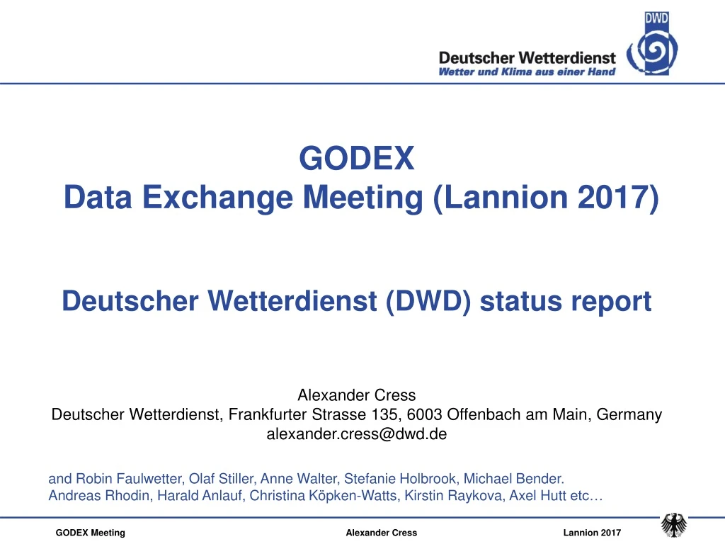
GODEX Data Exchange Meeting ( Lannion 2017) Deutscher Wetterdienst (DWD) status report Alexander Cress Deutscher Wetterdienst , Frankfurter Strasse 135, 6003 Offenbach am Main, Germany alexander.cress@dwd.de.

E N D
GODEX Data Exchange Meeting (Lannion 2017) DeutscherWetterdienst (DWD) status report Alexander Cress DeutscherWetterdienst, Frankfurter Strasse 135, 6003 Offenbach am Main, Germany alexander.cress@dwd.de and Robin Faulwetter, Olaf Stiller, Anne Walter, Stefanie Holbrook, Michael Bender. Andreas Rhodin, Harald Anlauf, Christina Köpken-Watts, Kirstin Raykova, Axel Huttetc… GODEX Meeting Alexander Cress Lannion 2017
The deterministicNWP-System of DWD Global-Modell ICON gridsize: 13 km verticallevels: 90 Gridarea: 173 km2 Hybrid DA • 13kmVarEnKF • Flow dependent B: BVarEnKF= αBLETKF + (α-1)B3DVAR • Incremental analysis update • SST, SMA and snow ana COSMO-DE (convectionresolving) gridsize: 2.8km verticallevels: 50 forecasts: 3-hourly Giridarea: 8 km2 Det LETKF replacenudging ICON-EUNest over Europe gridsize: 6.5 km Verticallevels: 60 forecasts: Gridarea: 43 km2 • GODEX Meeting Alexander Cress Lannion 2017
The probabilisticNWP-System of DWD ICON-EPS; M40 gridsize: 40 km verticallevels: 90 gridarea: 1638 km2 Ensemble DA • 40 member 40km LETKF. • Horizontal localization radius 300km. • Relaxation to prior perturbations ( 0.75). • Adaptive inflation (0.9 - 1.5). • SST perturbations Soilmoistureperturbations (experimental) COSMO-DE-EPS; M20 gridsize: 2.8km verticallevels: 50 Forecasts: 3-hourly gridarea: 8 km2 Ensemble DA 40 member 2.8 km LETKF SST pertubations Soilmoisturepertubations ICON-EUNest over Europe gridsize: 20 km verticallevels: 60 forecasts: gridarea: 407 km2
Satellitedatausage Microwaveandinfraredinstruments
Satellitedatausage Microwaveandinfraredinstruments
New developmentssince last meeting Global scale • Global ICON Ensemble DA system operational Jan. 2016 • Global hybrid 3dvar (ENVAR) operational since Jan. 2016 • Use of 16 humiditysensitvechannelssince 2017 • Microwaveimagerradiancedatareceived and monitored • NPP/VIIRS, HIMAWARI-8 and Meteosat 8 AMVs operational • Global Metop A/B pre-operational • Wind speedobservationsfromaltimetry (Janson 2/3, Saral) • operational • Radiosondes in Bufrformat (includingdrifting) operational • selectedSynop, Ship and Buoysin bufrformat • Monitoring of Vaisala RS 41 descentingdata • Pre-operational use of GNSS data • Use of seaiceconcentration on greatlakesoperationally
New developments since last meeting • Localscale • LETKF forlocalmodel COSMO-DE operational • Useof dopplerradar wind data and reflectivities • Use of Meteosat 10 Seviri CSR WV chanels (experimental) • selectedradiosondebufrdata operational • selectedSynop, ShipandBuoiesbufrdata operational • Pre-operational useof GNSS (ZTD and STD) data • Pre-operational useof MODE-S data • Aircrafttemperaturebiascorrectionimplemented
Use of humidity-sensitive IASI channels Exp. – Crtl. • Use of 50 temperature-sensitive IASI channelsoperationally • Use of MHS dataoperationally • Addionaluse of 16 humitidy-sensitive IASI channels • Plus reducedthinning(200km -> 120 km) of three MHS channels • Crtl: Nouse of IASI humiditychannels and reducedthinning • OneMonth in May 2016 / fullensemble • Experiment isdrierthanCrtl • Experiment iswetterthanCrtl
Assimilation cycleObs minus FG comparison Radiosonde statistics (globally) Temporal average: 08.05.2016 - 31.05.2016 Relative Humidity Crtl Experiment Temperatur • Humiditybiasslightlyincreased but errorreduced • Nosystematicchange in temperaturebiasorstandarddeviation • No of usedradisondesslightlyincreased
Forecast impact 00 UTC forecastsagainstownanalysis - tropics
Assimilation of microwaveimagers AMSR2 on GCOM 36.5 GHz V GMI on GMP 36.5 GHz V SSMI/S on DMSP-F17 37.0 GHz V mean(obs – fg) stddev(obs – fg) • Preparationforassimilatingmicrowaveimagers (19 GHz, 24 GHz, 37 GHz, 89 GHz) • in clearskysituationsoversea • biascorrectionandseaicedetection (strong dependence on surfaceemissivity) • exclusion of scatteringsituations (clouddetection) • Assimilation experimentsplannedforautuum/winter 2017
Assimilation of IR radiancesoverland (Kristin Raykova) • Goal: Assimilation of IR radiances – comingfrom IASI and CrIS – overland in thewindowzone (10-14 μm). • Biggestchallenges: findingcloud-free FOVs with high confidenceand making a reliableestimation of thesurfaceemissivity and skintemperatureand theircorrespondingerrors. Especially over land ist MNW very conservative and flags almost all FOVs as cloudy. Currentstatus: modifying and theoperational clouddetectionschemebased on McNally and Watts, in ordertoobtaincloud-free FOVs of low-peakingchannelsoverlandwith high certainty.
Monitoring of surfaceemissivity • Brightnesstemperature of IASI windowchannel646 (peak ~ 1 km) (01.05.2016 – 31.05.2016)Absolutedifferenceof Obs-FG (trial vs. control) Exp. withemissivityatlas – Exp. withoutatlas (fixed Value of 0.97) Oakleaf Sand sample • Improvementespeciallyoverregionswithstronglyvaryingemissivityspectrum.
Use of PC compressed IASI radiances • useofreconstructedradiances (RecRad) basedonIASI principal component scores product byEUMETSAT (NWP SAF) • Technical implementationfinished, firstexperimentstarted • Assimilation of RecRadwith ICON-EnVarexperimentsseems promising regardingtonoisereductionunderinformationmaintenance (seeplots IASI) • ComparisonRecRad– Ref (RawRad): neutral orslyightlypositive impact on OBS-FG of otherobservationsystems(seeplots GPSRO) • Outlook: Routine monitoringof IASI PC datasetsfromEUMETSAT (NWP SAF) IASI GPSRO contact: silke.may@dwd.de
All-skydataassimilationof SEVIRI WV channeldata in regional area • Kilometer-scaleensembledataassimilation (KENDA) • Aim : DA takingintoaccountcloudyobservations radiosondestatistics humidity • Method: • identificationofclearandcloudyobservations • clearsky : smallobservationerrorcloudy: large observationerror • First results: improvedfirstguessdeparturefor • clear-skydata • thinning in preprocessing • Assimilation experimentsstarted number of obs
Use of Atmospheric vectorwinds • Operational use of HIMAWAR-8 winds • NPP/VIIRS windsbecame operational • Meteosat 7 AMVs replacedby Meteosat 8 windsoperationally • Monitoring ofseveral additional AMVs from • China (FY-2G) • Korea (COMS) • India (INSAT3) • Metosat 11 (Test dataset) • new polar Metopwinds (threeimagesinsteadoftwo) • leo/geowindsfromCIMSS • Wind speeddependentbiascorrectionforscatterometer and altimeter • Operational use of Jason 2/3 and Saralaltimeter wind speeddata • Use CALIPSO cloudheightstoderiveweekly/monthlycorrectionfunctionsfor AMV heights 16/63
GNSS Zenit/Slant Total Delay (ZTD/STD) Michael Bender (DWD/IAFE) • GNSS (GPS) Slant Path Delay: humidityintegrated over path from ground station to GNSS (GPS) satellite, all weather obs • Many stations => 3D information on humidity, but • STDs are vert. + horiz. non local data (no point measurements). Localisation problematic • Observation Operator works for ZTDs and STDs, globally and regionally (part of COSMO Code) • Single site bias correction developed • Whitelist for processing center selection created • First global (ZTD) and regional (STD) assimilation and forecast experiments started
Global ZTD assimilation and forecastexperiment
KENDA-O overview, Task 2 (high-res. obs): GPS-STD, first trial for use in KENDA 8 days 17 – 24 Mai 2014 0-UTC runs 6-UTC runs 1-h precip FSS (30 km) 1 mm/h CONV only CONV + GNSS CONV + LHN= Ref CONV + LHN + STD 12-UTC runs 18-UTC runs • 1 mm/h : slightly better for 0-, 6-, 18-UTC runs