Download
1 / 22
220 likes | 295 Views
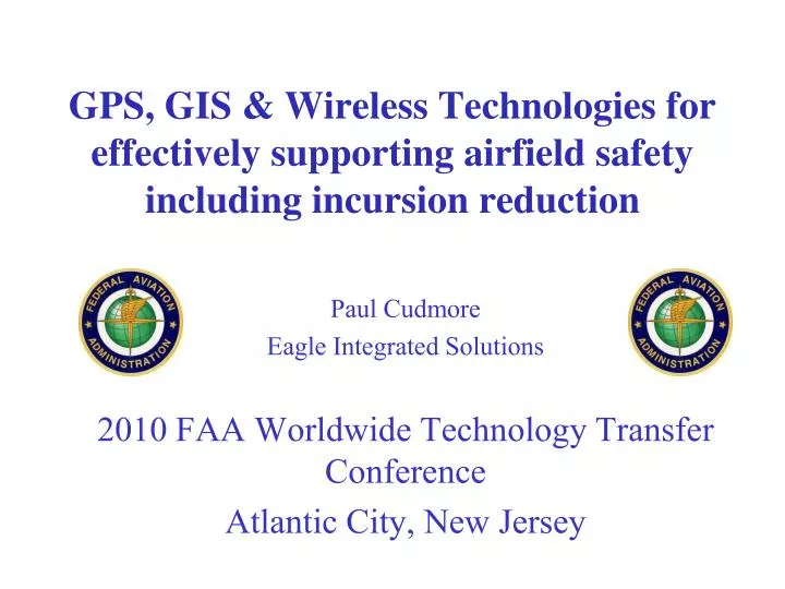
GPS, GIS & Wireless Technologies for effectively supporting airfield safety including incursion reduction. Paul Cudmore Eagle Integrated Solutions 2010 FAA Worldwide Technology Transfer Conference Atlantic City, New Jersey. For today……. Background Information: GPS/GIS technologies

E N D
GPS, GIS & Wireless Technologies for effectively supporting airfield safety including incursion reduction Paul Cudmore Eagle Integrated Solutions 2010 FAA Worldwide Technology Transfer Conference Atlantic City, New Jersey
For today…….. • Background Information: GPS/GIS technologies • Overview of current solutions being used by Airfields to improve safety • Future Developments • Questions and Discussion
Global Positioning System (GPS) “A satellite based navigation system that allows users to determine their location, direction the time/date and their velocity 24 hours a day in any weather condition”
Geographic Information System “A Geographic Information System is designed to display data referenced by spatial or geographic coordinates.”
GPS/GIS based Airfield Safety related Solutions Situational Awareness • Where am I? • What’s been done? • Incursion Management • Navigation/Incident location • FOD detection and recovery • Data Integration
Situational Awareness Insert Cartoon
SB3 SB6 SB4 SB2 SB1 Where am I?
Storm Over (Slow fading trail) • Illustrating where vehicles have been, and what they’ve been doing Storm Continuing (trail fades faster)_
FOD Detection and Removal • Radar based systems now picking up FOD with excellent accuracy & precision • A GPS coordinate is generated & is used to locate the FOD • A “route” is created and staff can do the pick-up right away!
Wireless Communications if needed Repeater Point to Point link BASE
Some Future Developments • Non Wireless systems • Zone in front of vehicle • Tone warnings vs. Voice Warnings • Integration with other systems
Non-wireless solutions • Zones and alerts preloaded on vehicle system from base computer • Can be handed out upon entry to the airfield • Provides alerts to operator based on settings • Vehicle usage/data stored • Wireless link can be added later
Zone in front of vehicle(s) • Accommodates the GPS lag factor • Vehicle travels 59ft/s at 40 mph • Size and shape scalable based on speed • Maximum zone size?
Tone warnings vs. Voice warnings Human factors exercise……….
Integration with other systems • ATC • Friction devices • FOD detection • Vehicle smoke alarms • Swipe cards • Trainingreqt’s Alert! Paul is not qualified to operate this vehicle