Download
1 / 10
100 likes | 325 Views
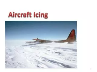
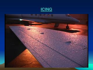
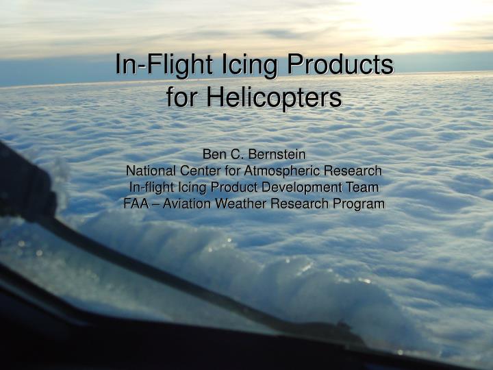
In-Flight Icing Products for Helicopters Ben C. Bernstein National Center for Atmospheric Research In-flight Icing Product Development Team FAA – Aviation Weather Research Program. In-Flight Icing. Encounters with supercooled liquid water Liquid water at T < 0 o C

E N D
In-Flight Icing Products for HelicoptersBen C. BernsteinNational Center for Atmospheric ResearchIn-flight Icing Product Development TeamFAA – Aviation Weather Research Program
In-Flight Icing • Encounters with supercooled liquid water • Liquid water at T < 0oC • Ram air rise, depending on aircraft speed • Clouds • Precipitation (FZDZ, FZRA) – SLD • Most helicopters are not certified for icing • Avoidance is the focus • Clouds, precipitation at T < 0oC (+10oC & vis moist – engine) • Some have ice protection • Good to avoid icing • If you’re going to encounter it • Where will it be (3-D space) • When will it be there? • How likely is it? • Will there be large drops? Certification is for small drop icing. • How severe will it be?
IFIPDT Products – CIP & FIP • Current Icing Product (CIP) • Hourly diagnoses of icing, blending info from many sources • 20km horizontal spacing CONUS & surroundings • 1000ft (305m) vertical spacing • Icing Probability – Chance of ANY icing (avoidance) • SLD “Potential” – Uncalibrated chance of large drops • Icing Severity – Categorical (trace, light, mod, heavy) • Fully operational Dec 2006, pending approval • Will be usable by pilots, dispatchers, meteorologists • Current operational version • Icing “Potential”, SLD “Potential” - on Operational ADDS (Thompson) • Severity available on Experimental ADDS • Forecast Icing Product (FIP) • Forecasts out to 12 hours, updated every 1-3 hours • Operational Products: Icing Potential, SLD Potential • Experimental Severity in March 2007, Operational Fall 2008 • Alaskan versions – Experimental. Operational: FY09, FY10
The CIP Concept SATELLITE (GOES) RADAR (NEXRAD) SURFACE OBS (ASOS, etc) MODEL (RUC) LIGHTNING (NLDN) PIREPS STRUCTURE VALUE BLENDED SATELLITE IMAGERY ALBEDO & CHANNEL 2-4 SITUATIONAL APPLICATION OF RADAR REFLECTIVITY MEANING VIS CH2-4 CONTEXT SITUATION DAMPING SAT-COMBO CONFIDENCE WEIGHT Sciwivi Sciwi Dx=20km Dz=1000ft GRID SPACE & TIME WEIGHTED PIREPS STABILITY DAMPED LWC CALCULATION SEVERITY 6000 ft 200km 5 5 ARR ARR PKB Dxy, Dz, Dt WEIGHTED & BLENDED SEVERITY AND CONFIDENCE POS & NEG PKB 8 8 +/- 4000ft CIP’s adiabatic-q field @6k (~825mb) LAST 2 HR Raw Categorical
Regular Gridded Field Irregular Field Processing/Analysis Decision Tree Results The CIP Process Radar Lightning Model (T, RH, VV, SLW) PIREPs METARs Satellite Step 1: Place datasets onto a common grid ICING=0.0 SLD=0.0 Severity=None Step 2: Find the 3-D locations of clouds and precipitation None? Step 3: Apply fuzzy logic membership functions to icing-related fields to create interest maps Step 4: Determine the physical icing scenario using a decision tree Cloud top temperature gradient Deep convection Classical freezing rain Multiple cloud layers Single-layer cloud Step 5: Situationally calculate the initial icing , SLD potential and Icing Severity Step 6: Boost initial values using VV, SLW, PIREPs, satellite, radar, etc. Icing Probability, SLD Potential, Icing Severity
The FIP Process Regular Gridded Field Irregular Field Processing/Analysis Decision Tree Results Radar Lightning Model (T, RH, VV, SLW) PIREPs METARs Satellite Step 1: Only use the model grid ICING=0.0 SLD=0.0 Severity=None Step 2: Find the 3-D locations of clouds and precipitation None? Step 3: Apply fuzzy logic membership functions to icing-related fields to create interest maps Step 4: Determine the physical icing scenario using a decision tree Cloud top temperature gradient Deep convection Classical freezing rain Multiple cloud layers Single-layer cloud Step 5: Situationally calculate the initial icing , SLD potential and Icing Severity Step 6: Boost initial values using VV, SLW, PIREPs, satellite, radar, etc. Icing Probability, SLD Potential, Icing Severity
Examples of CIP (Icing Probability) • Unprotected • Any chance of icing = no go? • Protected • Where do you draw the line? • Mission dependent? • Visible moisture (T < +10oC)
Examples of CIP (SLD Potential) • Protected, but not for SLD! • Any chance of SLD icing = no go?
Examples of CIP (Icing Severity) • Unprotected • Trace or higher = no go? • Protected • Where do you draw the line? • Put icing into context of other things • C/V, winds, turb, traffic, MVAs
Thank YouBen C. BernsteinIFIPDT Alternate Leadbernstei@rap.ucar.edu(303) 497-8424