Download
1 / 29
310 likes | 505 Views
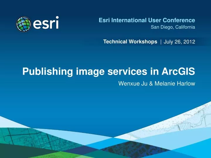
July 26, 2012. Publishing image services in ArcGIS. Wenxue Ju & Melanie Harlow. What is an image service?. A way to make image and raster data available to the web and client applications using ArcGIS

E N D
July 26, 2012 Publishing image services in ArcGIS Wenxue Ju & Melanie Harlow
What is an image service? • A way to make image and raster data available to the web and client applications using ArcGIS • Can be used in web applications, ArcGIS for Desktop, ArcGIS Online, and other client applications
Other ways to serve imagery • Map service • Published map document containing an image layer • Other • Globe service, mobile service, geodata service…
What can you do with an image service? • Use it as an image (visual analysis) • Use it as raster data (pixel analysis) • Access it as a catalog (mosaic dataset)
How can you access an image service? Imaging Desktop, Web, & Mobile Applications WCS Capabilities WMS SOAP KML REST
Image service data sources • Raster datasets • Mosaic datasets • Managing imagery or lidar data • Raster or mosaic layers • To control rendering • Preset some layer properties • Predefined query
ArcGIS for Server Image Extension ArcGIS for Server • It is a license added to ArcGIS for Server • Extends the capabilities to serve imagery or lidar managed using mosaic datasets • as image services or • contained within other services, such as map services • Allows you to serve a raster layer used to mosaic multiple rasters (Mosaic Function) • Raster datasets • Raster layers • Mosaic datasets • Mosaic dataset layers
Publishing workflow changes • New publishing workflow • Register databases • Share from data source • Requires service definition (.sd)
Data movement when publishing • Ensures the server can always see the data • Data may be copied to the server when publishing • Register data folders and geodatabases • Shared • Duplicate
How to publish an image service? • Connect to your server • Register the data locations (shared/duplicated) • Navigate to dataset and Share As Image Service • Define connection information • Server, service name • Modify the capabilities and parameters • Some capabilities are specific to the data • Analyze • Publish
Image service capabilities • Imaging • Web Coverage Service (WCS) • Serves actual pixel information from source data • Supported in many image analysis and processing software packages • Useful for image analysis applications where full pixel depth (bits and bands) are required • Web Map Service (WMS) • Supported for “rendered” image services • Useful for imagery base maps
Imaging capability options Controlling what users can do with the image service
Publishing interface – Parameters Applies to all inputs
Publishing interface – Parameters Applies to mosaic datasets & affects server load
Enabling custom server-side processing • Applicable to all image service inputs • Can be turned off • Uses raster function templates • You can set a default
Image service editing • Setups an image service can receive data • Add, remove, update properties • Requires a mosaic dataset in an enterprise geodatabase • Requires a location for upload and storage • You can enable editor tracking • You define the supported raster types
Image services for mensuration • ArcGIS provides a set of tools for image mensuration, including tools to measure point, distance, area, and height from an image • This option is applicable to all image service inputs • Allowed mensuration methods are derived from source, but can be modified • Elevation source enable users to make measurements in 3D (e.g. building height + surface height)
Image service cache • It’s pre-generated tiles of imagery • It is preprocessed imagery—it is not imagery that is processed on the fly • Benefits: • Improved performance for basic images • Skip overview generation • Improved performance for slow formats • Can be pre-generated or created on demand • Tilling structure – by scale or by pixel size
Cached image service is unique • Dual purpose image service is created • Provide the fastest access to the image as a tiled service • Provide access to the data, for queries, downloading, access to individual items, and to use in processing and analysis
Should I cache my image services? • Caches work best with image services that do not change frequently • If your data received updates you update the cache • If the source data of an image service needs to be live consider a dynamic cache
Questions? Please review this session Esri.com/ucsessionsurvey Session ID: 987 (morning), 988 (afternoon)