Download
1 / 22
230 likes | 477 Views
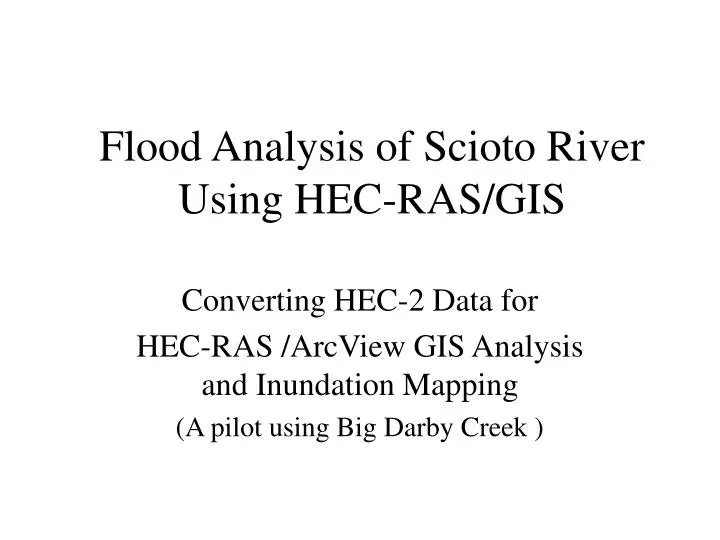
Flood Analysis of Scioto River Using HEC-RAS/GIS. Converting HEC-2 Data for HEC-RAS /ArcView GIS Analysis and Inundation Mapping (A pilot using Big Darby Creek ). 1873 flood of Athens. No Exact Record Available. 1907 flood - the highest known flood.

E N D
Flood Analysis of Scioto River Using HEC-RAS/GIS Converting HEC-2 Data for HEC-RAS /ArcView GIS Analysis and Inundation Mapping (A pilot using Big Darby Creek )
1873 flood of Athens No Exact Record Available
1907 flood - the highest known flood The estimated peak discharge was 50,000 cfs
The Joseph Herrold Home Before and After the 1913 Flood Before...
Flood on March 11, 1964 - Ohio University, Athens A height of 24.18 feet was recorded on the gage station
Pre-processing • USGS 1:24,000 DLGs • AVRas Pre-processing Function • TIN creation (temporary from DLGs) • Preparing required themes in ArcView GIS • Bank lines • Center line - require a line between banks • Flow lines - direction of the flow • X-sections digitized from surveying maps
Pre-processing (cont.) • Digitizing provided X-sections using Arc/Info • Conversion to ArcView GIS • Labeling stations for X-sections
Pre-processing • Creating the HEC-RAS import file (*.geo) using AVRas • Temporary TIN • Center line • Bank lines • Flow lines • X-Sections
HEC-2 X-sections Preprocessed X-sections
Importing GIS and HEC-2 Data • Separately import GIS geometry file (*.geo) and HEC-2 data • Adjust GIS geometry file according to HEC-2 data • Ground elevations • X-section lengths • Run an Avenue script to export X-sections into ArcView GIS • Program written by Nan Shi • Generate two shapefiles - X-sections and elevation points • Adjust new X-sections referencing streams in GIS
Cross-Section Cleaning • Cross-sections lengths adjusted by HEC-2 data • Position verified by USGS data • Flow length verified by HEC-2 data Digitized Adjusted
Final DEM Production • Point elevation data (original HEC-2 data) • Topographical elevation data (USGS data) • New TIN created for flood plain delineation New DEM
HEC-RAS • Adding parameters • Manning’s‘n’ values • Ineffective flow areas • Bridges • Steady flow data • Run water surface profile computations • Model verification
Model Verification Original HEC-2 New HEC-RAS
Post-processing • HEC-RAS export file • AVRas post-processing • Flood plain for 4 profiles • 17,800 cfs • 30,800 cfs • 38,000 cfs • 58,000 cfs
Big Darby Flood Delineation 17,800 cfs - green 30,800 cfs - red 38,000 cfs - blue 58,000 cfs - purple
Adding AdditionalGeographic Information 17,800 cfs
Adding AdditionalGeographic Information 30,800 cfs
Adding AdditionalGeographic Information 38,000 cfs
Adding AdditionalGeographic Information 58,000 cfs