Download
1 / 23
230 likes | 357 Views
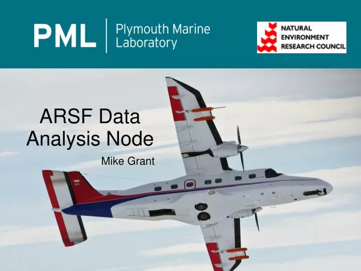
ARSF Data Analysis Node. Mike Grant. ARSF Data Analysis Node. Based at Plymouth Marine Laboratory NERC Collaborative center Brief history ARSF processing was in-house via several people until 2006/7

E N D
ARSF Data Analysis Node Mike Grant
ARSF Data Analysis Node Based at Plymouth Marine Laboratory NERC Collaborative center Brief history ARSF processing was in-house via several people until 2006/7 Staff changes lost expertise + growth in data volume and complexity meant the processing became backlogged Addressed by a move of the processing to a specialist center
Why PML? >10 years of remote sensing expertise Strong computing skills and capacity ARSF funds ~3 processors, but PML brings this up to 7 at times of high load Links to science and international collaboration ARSF overflight of Plymouth Sound, 2006
Hyperspectral data processing Level 0 (raw) to level 1b GPS navigation Radiometric correction Formatting + transformations Timing + positioning corrections Extra steps: Boresight calibration Atmospheric correction (Level 2) Geocorrection (Level 3) Level 0 raw data Level 3 geocorrected data (1 band)
Hyperspectral data processing Level 0 (raw) to level 1b GPS navigation Radiometric correction Formatting + transformations Timing + positioning corrections Extra steps: Boresight calibration Atmospheric correction (Level 2) Geocorrection (Level 3) Little Rissington boresight calibration site + markup
LIDAR data processing Raw data to point cloud Navigation Formatting Positioning corrections DEMs for hyperspectral filled with ASTER, NextMAP, etc Full waveform RCD (digital camera) Raw data points and scans LIDAR intensity mosaic
LIDAR data processing Raw data to point cloud Navigation Formatting Positioning corrections DEMs for hyperspectral filled with ASTER, NextMAP, etc Full waveform RCD (digital camera) Little Rissington DEM in relief (height differences exaggerated for display) Full waveform concept
User support Carry on the existing contact from application to flight, through to data processing and end user support +NEODC archive users Live processing status webpage Ticket system open Fast response helpdesk
Analysis Radiometric calibration ARSF conduct own calibration with FSF Identified and corrected two serious radiometric issues Issue analysis and correction Specim frame timing LIDAR roll errors Software bugs! Eagle CCD response in calibration Frame-shift smear estimated error
Analysis Radiometric calibration ARSF conduct own calibration with FSF Identified and corrected two serious radiometric issues Issue analysis and correction Specim frame timing LIDAR roll errors Software bugs! Specim frame timing errors (top: 0.03s error; bottom: corrected)
Development APL LIDAR processor FastQC + LIDAR viewers FW LIDAR extractions Higher order descriptors International interaction libLAS/LASTools EUFAR HYQUAPRO Cumbria floods (2009) Ethiopia LIDAR (2008)
Development APL LIDAR processor FastQC + LIDAR viewers FW LIDAR extractions Higher order descriptors International interaction libLAS/LASTools EUFAR HYQUAPRO New Forest full waveform trial (2010)
Development APL LIDAR processor FastQC + LIDAR viewers FW LIDAR extractions Higher order descriptors International interaction libLAS/LASTools EUFAR HYQUAPRO New Forest full waveform trial (2010)
Future Improved systems Further automation Atmospheric correction Greater integration of sensors Unified data New sensors?
Data processing turned around since 2007/8 Part of the improvements of the service in collaboration with ARSF-Ops Data processing team can draw on a pool of expertise and capacity at no extra cost Many complex instrument and science issues addressed Providing significant extra value beyond simple processing Calibration, analysis, development, international interaction Summary
LIDAR DEM Little Rissington DEM in relief (height differences significantly exaggerated for display)