Download
1 / 35
350 likes | 440 Views
How Erosion Shapes the Landscape. Presentation created by Robert L. Martinez Primary Content Source: Geography Alive!. Landslide! A hill starts to move, sending dirt, rocks, and trees tumbling down its slope.

E N D
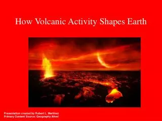
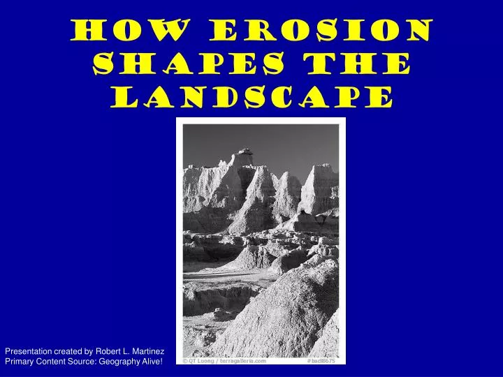
How Erosion Shapes the Landscape Presentation created by Robert L. Martinez Primary Content Source: Geography Alive!
Landslide! A hill starts to move, sending dirt, rocks, and trees tumbling down its slope.
If you lived in the house at the bottom of the hill, you would probably see this event as a terrible disaster.
A geographer, however, would also see it as an example of how erosion can reshape the surface of the Earth.
Erosion takes place everywhere on Earth through natural forces. Wind, moving water and ice, and gravity can all wear down the land around us.
Wind erodes land by picking up tiny grains of dirt and carrying them to distant places.
This process wears away the layer of soil that covers Earth’s crust. Wind can also grind away rocks and hills by blasting them with gritty sand and dirt.
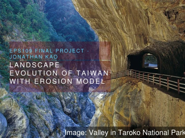
Moving water also shapes the land. Rivers can carve away at the surrounding land to create deep V-shaped valleys.
The faster a river flows, the more soil it can wash away and carry downstream.
Along coastlines, ocean waves can wear away the shoreline to create steep banks and cliffs.
Waves can also erode soil at the base of cliffs, causing the land above to collapse.
When this happens, home built on the cliffs may slide down into the sea.
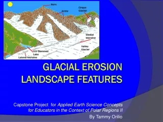
Glaciers are another force of nature that reshapes the landscape.
The weight of these enormous masses of ice exerts pressure that causes the glaciers to travel slowly downhill.
As they move, glaciers gradually carve out valleys and create new landforms by depositing rock and soil.
Over time, glaciers can transport huge quantities of rocks and soil debris over great distances.
Anything that is not well rooted or attached to the ground will eventually give in to the force of gravity and move downhill.
This downhill movement can occur so slowly that we may not even be aware of it, or it can occur quickly, as in a landslide or mudslide.
On flat plains, water can build up as well as wear away land. After heavy rains, rivers overflow their banks and flood the surrounding plain.
When the river returns to its banks, soil carried by the floodwater is left behind on the floodplain.
This fresh layer of soil makes floodplains good places to farm, but the floods that create floodplains also make them dangerous places to live.
Much of Russia is made up of vast plains. On the west side of the Ural Mountains is the Northern European Plain, and on the east side of the Urals are the West and Central Siberian plains.
Over millions of years, wind, water, ice, and gravity have worn away any high ground on these plains.
The flat or gently rolling land of the plains today is the result of this erosion.
The Major rivers crisscross Russia’s plains. One the them, the Volga, is Europe’s longest river.
The Volga wanders south across the Northern European Plain, carrying along many tons of sediment, or soil and sand.
When it floods, the Volga leaves some of the sediment on the surrounding land, a process known as sedimentation.
Eventually the Volga deposits any remaining sediment into the Caspian Sea, turning its waters a cloudy green.
The Volga flows through the agricultural and industrial heartland of Russia.
Almost half of the Russian population lives in the Volga River basin, relying on the river for power, transportation, and irrigation.
No wonder Russians call the Volga “Matushka,” which means “Mother.”
The Amur River flows from the mountains of northeast China and through eastern Siberia to empty into the Sea of Okhotsk.
The sea of Okhotsk is a large arm of the Pacific Ocean on the eastern boundary of Russia.
For about 1,000 miles, the Amur River forms a natural boundary between Russia and China.