Download
1 / 23
230 likes | 335 Views
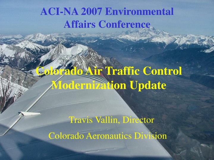
ACI-NA 2007 Environmental Affairs Conference. Colorado Air Traffic Control Modernization Update. Travis Vallin, Director Colorado Aeronautics Division. A BRIEF OVERVIEW Need for Improved Surveillance:. Why a State of Colorado Project:.

E N D
ACI-NA 2007 Environmental Affairs Conference Colorado Air Traffic Control Modernization Update Travis Vallin, Director Colorado Aeronautics Division
A BRIEF OVERVIEW Need for Improved Surveillance: Why a State of Colorado Project: • Safety - The ability to see and separate aircraft during approaches, departures and missed approaches at our Colorado Mountain Airports will improve safety. • Capacity - An increase in Airport capacity through improved operational efficiencies can be realized with improved surveillance. • Economics - When aircraft are delayed, diverted or denied access due to the inability to safely and efficiently separate aircraft, there is a significant negative impact on the local, State and air carrier economies. • Benefit/Cost - Colorado Ski Country Airports did not meet the Benefit/Cost necessary to support an FAA funded project. • Need For Improved Surveillance Validated - A Feasibility Study performed by the ATOclearly demonstrated that the project provides benefit to both the State of Colorado and the FAA with State funding.
SIGNIFICANT ECONOMIC FACTORS • Of the ONE BILLION Dollars spent on recreation each year in Colorado, 35% ($350,000,000) is spent on ski related activities. Colorado leads the nation in share of total ski trips. • Delays at Colorado Ski Country airports cause aircraft arriving and departing DIA to be diverted to the north and south due to stacking at mountain airports. • Diverted flights result in increased demand being placed on highways. • Denied service results in lost revenue.
The Problem - Radar Coverage (Or lack thereof) Approach Path Floor of Radar Coverage (9,000’ to 16,000’ MSL) Airport Elevation 6,500’ MSL
Non-Radar Coverage 17,000 ft. Craig SteamboatSprings YampaValley Eagle Rifle Aspen Montrose Gunnison Telluride Existing radar Phase I Phase II Cortez Alamosa Durango
Non-Radar Coverage 15,000 ft. Craig SteamboatSprings YampaValley Eagle Rifle Aspen Montrose Gunnison Telluride Existing radar Phase I Phase II Alamosa
Non-Radar Coverage 13,000 ft. Craig SteamboatSprings YampaValley Eagle Rifle Aspen Montrose Gunnison Telluride Existing radar Phase I Phase II Cortez Alamosa Durango
Non-Radar Coverage 11,000 ft. Craig SteamboatSprings YampaValley Eagle Rifle Aspen Montrose Gunnison Telluride Existing radar Phase I Phase II Alamosa
Non-Radar Coverage 9,000 ft. Craig SteamboatSprings YampaValley Eagle Rifle Aspen Montrose Gunnison Telluride Existing radar Phase I Phase II Cortez Alamosa Durango
SteamboatSprings Craig YampaValley Rifle Eagle Colorado Surveillance Project (CO-ATCBI) Airports Aspen Existing Radar Gunnison Montrose Telluride Alamosa Durango Cortez
Charlotte Atlanta
ASE: Green EGE: Red RIL: Dark blue HDN: Light blue GUC: Yellow MTJ: Pink TEX: Orange Ski Country Arrivals Jan. 2, 2006 1500-2300Z
ASE: Green EGE: Red RIL: Dark blue HDN: Light blue GUC: Yellow MTJ: Pink TEX: Orange Ski Country Departures Jan. 2, 2006 1500-2300Z
ASE, EGE, RIL, HDN, SBS, CAG, GUC, MTJ, & TEX Airports Ski Country Arrivals & Departures Jan. 2, 2006 1500-2300Z
The Colorado Surveillance Alternatives Q Primary Radar - Locates targets by bouncing radar signals off the object - gives location in two dimensions only. Q Short Range Radar - Airport Surveillance Radar -ASR Q Long Range Radar - Air Route Surveillance Radar – ARSR - $8-$11 Million Per Radar Q Secondary Radar - Receives target identification, altitude and location from aircraft transponder. Q Beacon Interrogator - BI-4, 5 or 6 - $6-$8 Million Q ADS-B - Aircraft data link (Universal Access Transceiver or 1090ES) continuously transmits aircraft identification, altitude and location derived from GPS. $250K per airport Q Multi-Lateration - Aircraft transponder transmits target identification and altitude in response to interrogation from ground units. Location is determined by triangulation of aircraft transponder signals (interim step to ADS-B). $1.2 Million Per airport
Colorado Surveillance ProjectOverview • Wide Area Multilateration (WAM) System – The State of Colorado elected to implement WAM with ADS-B Mode S 1090ES capability to take advantage of the current state of transponder equipage in the GA and air carrier fleets. • Funding – The State of Colorado is funding the design, procurement and installation of the WAM system via State Transportation monies. $4.7 Million for Phase I. Hayden, Steamboat Springs, Craig, Rifle • System Ownership – The system will be owned and maintained by the FAA. Ownership of the Phase I system will transfer to the FAA after Site Acceptance Testing (SAT) is complete. • Integration into the NAS – The system will be deployed in Denver Air Center to support operations in the En Route environment. The FAA will develop separation standards for the Colorado and Juneau WAM system in preparation for integration into the NAS and certification to separate traffic.
Wide Area Multilateration System ATC Separation*
What Remains to be done? • COMPLETE EQUIPMENT INSTALLATION - The remainder of the sensors deployed in the spring of 2008. • OPTIMIZE DATA - System optimization completed Summer 2008 • SITE ACCEPTANCE TESTING (SAT) - complete November 2008. FAA takes ownership of the system after SAT is complete. • SEPARATION STANDARDS - developed for the Wide Area Multilateration (WAM) system and approved by Air Traffic. • INITIAL OPERATING CAPABILITY (IOC) -complete May 2009. System is operational in Denver Center. • SYSTEM OPERATIONAL - The WAM system becomes a part of the National Airspace System as a new surveillance tool.
Benefits of Improved Surveillance • Enhanced Safety - Increase safety by being able to see aircraft that are currently outside radar coverage. • Improve Overall Flow Efficiency - Improve arrival and departure efficiency into and out of DIA, as well as mountain airports. • Economic Benefits - Reduce lost revenue at Colorado ski areas due to diversions of flights to other than destination airports. Improved surveillance translates into more efficient flight tracks, which means less fuel burned and increased hourly capacity at Colorado’s Mountain Airports. Annual loss of $134 Million per year to the Colorado Economy. • Multi-Modal Benefits - Reduction of traffic on highways due to flights being diverted to other than destination airports.