Download
1 / 34
340 likes | 496 Views
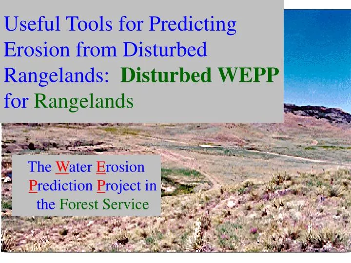
Useful Tools for Predicting Erosion from Disturbed Rangelands: Disturbed WEPP for Rangelands. The W ater E rosion P rediction P roject in the Forest Service. Objectives of Presentation. To present three interfaces for Predicting Water Erosion on Rangelands. WEPP.

E N D
Useful Tools for Predicting Erosion from Disturbed Rangelands: Disturbed WEPP for Rangelands The Water Erosion Prediction Project in the Forest Service
Objectives of Presentation • To present three interfaces for Predicting Water Erosion on Rangelands
WEPP ... Water Erosion Prediction Project
WEPP ... • Models soil erosion processes Water Erosion Prediction Project
WEPP ... • Models soil erosion processes • Was developed cooperatively with • ARS • NRCS (SCS) • BLM • Forest Service • .... Water Erosion Prediction Project
WEPP ... • Is intended to replace the USLE • Which predicts Erosion Only
WEPP ... • Is intended to replace the USLE • Which predicts Erosion Only • WEPP Predicts • Runoff • Erosion Rates • Sediment yield
WEPP Versions • Hillslope • Describes a single strip of hillslope
WEPP Versions • Hillslope • Describes a single strip of hillslope • Watershed • Links hillslopes, channels, and impoundments • Very difficult to run
WEPP Versions • Hillslope • Describes a single strip of hillslope • Watershed • Links hillslopes, channels, and impoundments • Very difficult to run • GIS Tool • GeoWEPP Prototype now available • Some enthusiasts are developing custom methods
WEPP Versions • Hillslope • Describes a single strip of hillslope • Watershed • Links hillslopes, channels, and impoundments • Very difficult to run • GIS Tool • GeoWEPP Prototype now available • Some enthusiasts are developing custom methods • FS WEPP Interfaces • For ease of use on the internet • ARS has one too
WEPP Processes 1 • Rainfall, infiltration, runoff, soil water
WEPP Processes 2 • Rainfall, infiltration, runoff, soil water • Soil detachment, transport, deposition and delivery
WEPP Processes 3 • Rainfall, infiltration, runoff, soil water • Soil detachment, transport, deposition and delivery • Plant growth, evapotranspiration, and senescence
WEPP Processes 4 • Rainfall, infiltration, runoff, soil water • Soil detachment, transport, deposition and delivery • Plant growth, evapotranspiration, and senescence • Residue accumulation and decay
WEPP Processes 5 • Rainfall, infiltration, runoff, soil water • Soil detachment, transport, deposition and delivery • Plant growth, evapotranspiration, and senescence • Residue accumulation and decay • Soil consolidation
Erosion Processes 1 • Interrill Erosion • Raindrop splash • Shallow Overland Flow
Erosion Processes 2 • Interrill Erosion • Raindrop splash • Shallow Overland Flow • Rill Erosion • Concentrated Channel Flow • Assumes about 1 m spacing between rills • Varied for roads
Erosion Processes 3 • Interrill Erosion • Raindrop splash • Shallow Overland Flow • Rill Erosion • Concentrated Channel Flow • Assumes about 1 m spacing between rills • Varied for roads • WEPP does NOT model gullying or landslides
Overland Flow Elements • Describe variation in soil and vegetation down a hillslope OFE 1 OFE 2 OFE 3
FSWEPP File Structure Climate CLIGEN & Prism Interface FSWEPPInternet User Web Browser Model WEPP
GeoWEPP File Structure Topographic Analysis TOPAZ GIS ArcView Interface GeoWEPP Climate CLIGEN (& Prism) DATA DEM Digital Raster Model WEPP
Limitations to WEPP • Scale may be too small • Users frequently want 10 sq mi + watersheds
Example WEPP Application • Fort Carson, Colorado • Nearest Climate Station: Timpas, CO • Typical Slope Length: 300 m (1000 ft) • Steepness: 25% • Soil: Loam • Vegetation: Grass/Sage, about 30% cover • Observed erosion rates: 2.5 Mg/ha (1 t/acre)
Disturbed WEPP Performance Avg Erosion = 2.5 Mg/ha
Disturbed WEPP Template OFE 1 OFE 2 Treatment 1 Treatment 2 Slope 1 Slope 2 Slope 3 Slope 4
ERMiT Template P(Erosion) = f(P(Climate), P(Soil), P(Distribution)) OFE 1 OFE 2 Top Slope OFE 3 Average Slope Toe Slope For forest, chaparral, and rangeland fire applications Post processing for mitigation evaluation
GeoWEPP Template • Download (or obtain) a digital elevation model … • Select watershed outlet … • Up to 2 sq mi for watershed output (“Offsite”) • No area limit for hillside output (“Onsite”) • Select files developed in WEPP Windows • Do not try ArcView Functions until all GeoWEPP runs complete
Download GeoWEPP Topo Data Digital Elevation Model Digital Raster Graphic From an NRCS Lighthouse Web Site
GeoWEPP defines channels and hillslopes Stream Network Representative Hillslopes Area = 324 ha (800 acres) Using ARS TOPAZ Topographic Model
GeoWEPP Calculates Hillside Erosion and Sediment Yield Hillside Erosion Sediment Yields from Hills Using WEPP Watershed Version
Conclusions • WEPP Technology shows considerable promise for natural resources to aid in site-specific and small watershed erosion analysis on rangelands