Download
1 / 19
190 likes | 324 Views
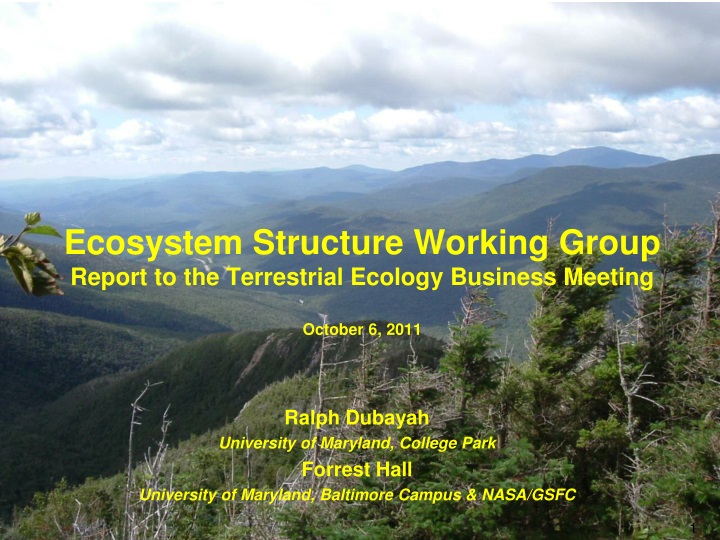
Ecosystem Structure Working Group Report to the Terrestrial Ecology Business Meeting October 6, 2011. Ralph Dubayah University of Maryland, College Park Forrest Hall University of Maryland, Baltimore Campus & NASA/GSFC. Outline. Overview of ESWG Mission Development and Support

E N D
EcosystemStructure Working GroupReport to the Terrestrial Ecology Business MeetingOctober 6, 2011 Ralph Dubayah University of Maryland, College Park Forrest Hall University of Maryland, Baltimore Campus & NASA/GSFC
Outline • Overview of ESWG • Mission Development and Support • Field Activities • Publications on Ecosystem Structure Requirements and Science • Potential Activities with European Scientists • Upcoming Meetings
Overview of ESWG • ESWG meets on as needed basis • Teleconferences about once per month (with large gaps) • Membership comprised mostly of TE scientists actively engaged in remote sensing of structure • Provides community guidance and input to TE program manager • Guidance on mission science requirements • Assistance developing and executing field experiments in support of TE goals • Ad hoc analyses in support of specific TE objectives as asked • e.g. effects of off-nadir pointing on lidar • Updates to TE program on funded and unfunded activities of relevance to ecosystem structure • Forum for interchange of ideas
DESDynI Status and Activities • ESWG and DESDynI Science Steering Group (DSSG) undertook many activities for DESDynI • Evaluation of one vs. two platforms • Evaluation of combined ICESAT-2/DESDynIlidar (LIVEx) • Planning and execution of airborne field experiments and algorithm assessment • Development of Level 1 Science requirements • Publication of two special issues (RSE & JGR-A) • Publication of two papers on requirements (biomass & biodiversity • President’s FY12 Budget Proposal (February 2011) reset DESDynI • Lidarsegment deleted (NASA should seek contribution) • Radar mission to be implemented more affordably • Mission now called DESDynI-R
NASA’s Proposed DESDynI* Mission Radar designs for proposed DESDynI mission being studied in pre-Phase A L-band 5-80 MHz BW Quad-pol Radar 9-15 m mesh reflector 12-24 element transmit and receive array 12-24 dual-pol receive channels 180-360 km swath, full res, full-pol Better than -25 dB NES0 at 20 MHz BW TDRSS downlink *DESDynI - Deformation, Ecosystem Structure, and Dynamics of Ice Pre-decisional – for Planning and Discussion Purposes Only
January 2011 MCR DESDynI Concept Must be Re-thought Due to Current OMB Direction ? L-band Polarimetric SAR Ecosystem Structure Canopy Height Biomass Biomass, Vegetation Structure, Effects of changing climate on habitats and CO2,, disturbance 91-day repeat ~370 km orbit 25 m spot 5 beams Multibeam Profiling LIDAR ? ? Two spacecraft not at same scale Cryosphere ? Pass 1 Pass 2 Ice velocity, thickness Response of ice sheets to climate change & sea level rise ? 13 day repeat ~600 km orbit 250-500 m orbit control 220 km swath Full resolution over swath 5,20+5,40,80 MHz modes SP, DP, QQP, QP modes ? L-band Repeat Pass InSAR ? Solid Earth ? • Surface Deformation • Geo-Hazards Water Resource Management
Outlook for DESDynI • NASA continues to invest in DESDynI • Competing a Science Definition Team • Continuing trade studies at JPL • NASA currently exploring options for reducing cost • Reducing number and scope of science requirements levied on DESDynI • DESDynI in combination with other satellites to approach DESDynI requirements • Find international partners interested in the science and technology • Ongoing Tandem-L studies with DLR • Ongoing discussions with several potential partners • Find domestic partners that would increase utility of DESDynI data
ICESat-2 Measurement Concept • Current Configuration: • Single laser pulse, split into 6 beams, 3 km spacing between pair Original Concept “Analog” Pulsed Laser 50 Hz laser repetition rate 70 m footprint 140 m between footprints Now MicroPulsed Laser 10 KHz laser repetition rate 1 (or more) photon from 10 m footprint 70 cm between adjacent footprints
ICESat-2 Ecosystems Application Level 1 Requirement: ICESAT-2 shall produce elevation measurements that enable independent determination of global vegetation height with a ground track spacing of less than 2 km over a 2-year period SDT conducting tests and simulations to determine what ICESat-2 will meet the ecosystem science objective. Using low altitude airborne Photon Counting flights over Pine Barrens and SERC in October 2009 and High altitude flights (MABEL) are planned for Fall 2011 Data down-sampled to “ICESat-2 like” spacing and solar background noise was added to simulate various noise conditions Develop algorithms to extract ground surface and canopy height in presence of noise Airborne data: Sigma Space, Smithsonian Environmental Research Center, September 2009
ICESat-2 Simulated Data Algorithm Results U. Texas – Hybrid Kalman filter Col. State – Multiscale Curvature Results from two different methodologies. Residuals were computed between simulated “ICESat-2” (i.e. down-sampled) ground/canopy height estimates (RED) and full-rate micropulse data (i.e. truth) (BLUE). Canopy Height RMS 4.0 m Canopy Height RMS 3.9 m Ground RMS 1.8m Ground RMS 1.9 m SERC –Line 5 SERC –Line 5 Airborne data: Sigma Space, Smithsonian Environmental Research Center, September 2009
ICESat-2 Moving Forward • ICESat-2 launch date currently targeted as April 2016 • The ICESat-2 satellite will be off-nadir pointed over non-polar areas (~60S 60N) to increase the spatial density of measurements in terrestrial ecosystems. • The ICESat-2 SDT team will soon develop the Algorithm Theoretical Basis Documents (ATBDs) for the Vegetation/Land data products
Publications: RSE Special Issue on DESDynI A Few Highlights From DESDynI RSE Special Issue Biomass Requirements Structure & Stress Slope effects on lidar • 18 papers: Biomass, Veg Structure, Biodiversity • Overview, 5 Lidar, 6 Radar, 4 sensor fusion, 2 in situmethods
Publications: JGR-A DESDynI Special Issue • 12 Papers • Biomass, biodiversity and vegetation structure • 4 review papers • (remote sensing, biomass, structure, disturbance and regrowth) • 8 papers lidar, radar, fusion, requirements, etc • Biodiversity requirements, biomass dynamics, radar/lidar fusion, waveform validation, GLAS/Landsat fusion, etc
Field Activities: California & East Coast • California Sierra Nevada (2008) • Revisit of 1 ha plots (1999/2000) • ~25 1 ha biomass plots (2008) • Stem-maps for 30 m plots • UAVSAR, LVIS, discrete return lidar (DRL) • East Coast (2009) • Legacy sites with existing field and remotely-sensed data • Hubbard Brook and Bartlett EF, Howland, Harvard, etc • Additional PI-led activity in Quebec & Costa Rica (Simard) • New 1 ha and prism plots • UAVSAR, LVIS, DRL at sites • Time-series of lidar data at some sites • Data archived and available
Hubbard Brook Remote Sensing LVIS Waveform Lidar Small Footprint Discrete Return Lidar UAVSAR DESDynI
Echidna® and DWEL • Echidna ® Full Waveform Lidar • 1064nm, 4 mrad resolution • US Deployments with NASA support • Harvard, Howland, and Bartlett Forests (2007, 2009, 2010) • Sierra National Forest (2008) • DWEL: Dual Wavelength Echidna®Lidar • Full Waveform Echidna Heritage • 1064 and 1550nm (separation of foliage and woody returns) • Improved angular resolution (2mrad) • Under development at BU with NSF support • In collaboration with CSIRO • Currently undergoing integration and testing
Potential Activities with Europeans • Please attend the PolInSAR meeting tomorrow morning • Joint Ecosystem Structure Science Meeting • Planning to begin this fall • Exchange of ideas and mutual understanding on: • Existing research activities and advances • Potential mission development and deployment • E.g. TANDEM-L & BIOMASS • Applications and science requirements of each community • Joint Ecosystem Structure Field Experiment • Europeans promoting potential of PolInSAR • Lack of published studies, availability of field and aircraft data hinder mutual advancement • Suggest development of joint field experiment to test efficacy of remote sensing techniques for derivation of ecosystem structure • Potentially help inform DESDynI-R partnerships (BIOMASS & TANDEM-L)
Upcoming Meetings: ForestSat 2012 • Promote scientifically-based understanding of how remote sensing describes and monitors forested systems • Fifth conference, first outside of western Europe • Contact Warren Cohen
Upcoming Meetings: SilviLaser 2012 • Premier conference on remote sensing of forest structure • Held in conjunction with ForestSat (immediately follows) • Contact Mike Wulder or Nicholas Coops