Download
1 / 19
210 likes | 470 Views
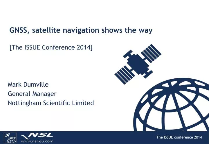
GNSS, satellite navigation shows the way [The ISSUE Conference 2014] . Mark Dumville General Manager Nottingham Scientific Limited. GNSS Technologies Global Navigation Satellite Systems (GNSS). INTEGRATED. Clean & Green. Bundles. Pay-per-use . Earth orbiting satellite constellations

E N D
GNSS, satellite navigation shows the way[The ISSUE Conference 2014] Mark Dumville General Manager Nottingham Scientific Limited
GNSS TechnologiesGlobal Navigation Satellite Systems (GNSS) INTEGRATED Clean & Green Bundles Pay-per-use • Earth orbiting satellite constellations • Providing 24 hour, all weather availability • Position • Velocity • Time • Free of direct user charges • Multiple Devices, Services, Applications… POLICY Geo-Enabled Safer FASTER Customised Solutions
GNSS device sales & market size GSA market Analysis Report, 2013
Why do we use GNSS?GPS Performance (over 6 months, London, UK) GPS performance is very good and is being used extensively in the UK
€ 99% tolerances 99.98% reliability security robustness trust 1ppm confidence -6 1x10 3s protection assurance 0.001 resilience guarantee safe integrity 5s 99.9% dependability
GNSS has now become a policy tool 6-7% of EU GDP relies on the American GPS(Source: EC)
Emergency Services GNSS is integrated into Mobiles and Forces Equipment • Fire • Best route to destination • Description of property • water facilities, hazards • Police • GPS/Tetra (ESMCP) • Crash Recorders • Ambulance • Strategic placement • Navigation
Targeting Serious & Organised Crime Tracking cargoes, assets, suspects Resilient and Robust Positioning
Supporting the Judicial System Electronic Monitoring as a potential solution to overcrowded Prisons • GNSS provides: • 24 hour monitoring of offenders • Alarms if offender enters “exclusion zone”
Health Applications 600,000 people in UK suffer from dementia • GNSS provides: • Ubiquitous location • Small, affordable unit • Consistent coordinate system GNSS Solutions for visually impaired GNSS Solutions for assisted living …enabling eHealth solutions
Air Transport GNSS for General Aviation • UK has approved GPS operations at regional airports for General Aviation • UK has started to approve GNSS operations for commercial aviation GNSS Solutions for Commercial Aviation
Rail Transport 29 January 2014
Public Transport • GNSS provides • Real-time information on bus location • Estimated time of arrival at bus stop • Estimated time of journey
Highways, Roads, Congestion… Addressing Congestion at a Local level “User pays principle” at a National level • GNSS provides: • Capability to charge vehicles for entering zones • Capability to charge vehicles according to Time, Distance, Place (TDP charging)
Protecting Infrastructure and Utilities Locating defects in the infrastructure… …addressing operational issues Infrastructure, Roads, Water, Gas, Electricity, Telecoms, Sewers
Farming, Fisheries & Agriculture Claims Evidence Investigations • GNSS used as: • geo-referencing tool • survey tool • tracking • automation
thank youmark.dumville@nsl.eu.com Acknowledgements and credit: BBC News (www.bbc.co.uk) The Telegraph (www.telegraph.co.uk) Royal Institute of Navigation (www.rin.org.uk)