Download
1 / 16
160 likes | 380 Views
Content Introduction: Disasters and Climate Change in the Philippines Land Use in Flood-Prone Areas Structure of a Local Flood Early Warning System Performance of the LFEWS Next Steps. CC-susceptible hazards are responsible for 90% of the damage in the Philippines.

E N D
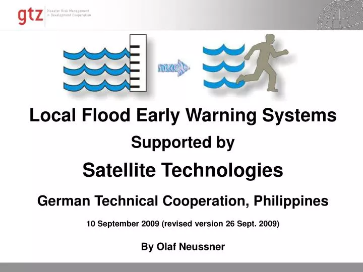
Content • Introduction: Disasters and Climate Change in the Philippines • Land Use in Flood-Prone Areas • Structure of a Local Flood Early Warning System • Performance of the LFEWS • Next Steps
CC-susceptible hazards are responsible for 90% of the damage in the Philippines.
The number and percentage of stronger storms appears to be increasing P. J. Webster et al., Science 309, 1844 -1846 (2005)
Land Cover Map of Leyte • Combined images from • SPOT5 • ASTER • LANDSAT • Resolution from 10-29m, • Different spectral bands. 11.10.2014
Land Use in Flood Prone Area of Binahaan Watershed (SPOT5, ASTER) (Total: 6,446ha) Land Use Classification
Loss Estimations (3.1 Mill. US$) There are scattered buildings in the non-settlement areas. They are accounted for in the last row.
Tropical Rainfall Monitoring Mission Data for Flood Forecasting Data every 3 hours in the internet
Performance of LFEWS In Operation since 2 years. No false alarms. No missed Floods. 13 times activated. Majority of interviewees satisfied.
Next Steps • Utilization of land use map for vulnerability assessment for different hazards • Improve correlation of satellite-based precipitation data with ground data • Use DEMs and other data for flood modelling • Land use map/hazard maps for Disaster Risk Management sensitive spatial planning
THANK YOU In cooperation with: This project is supported by: