Download
1 / 20
200 likes | 340 Views
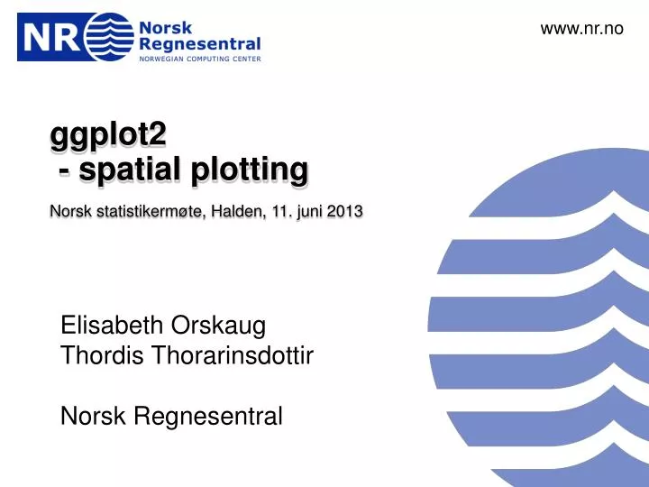
www.nr.no. ggplot2 - spatial plotting Norsk statistikermøte, Halden, 11. juni 2013. Elisabeth Orskaug Thordis Thorarinsdottir Norsk Regnesentral. André Teigland Forskningssjef SAMBA. 4 . ggplot2-spatial. Spatial visualization with qplot ().

E N D
www.nr.no ggplot2 - spatial plotting Norsk statistikermøte, Halden, 11. juni 2013 Elisabeth Orskaug Thordis Thorarinsdottir Norsk Regnesentral André Teigland Forskningssjef SAMBA
4. ggplot2-spatial Spatial visualization with qplot() • Using functions in R, onecan plot basicgeographicinformation, for instance a shape file containing polygons for areal data. • Areal data is data whichcorresponds to geographicalextentswith polygonal boundaries. Section 4.1
4. ggplot2-spatial Spatial visualization with qplot() Taking outone area from worldmap • ind = which(world[,3]==1) • qplot(long,lat,data=world[ind,],geom="path", group=group) + xlim(range(world[,1])) + ylim(range(world[,2])) Section 4.2 Example: world data set long lat group order region subregion 1 -133.3664 58.42416 1 1 Canada <NA> 2 -132.2681 57.16308 1 2 Canada <NA> 3 -132.0498 56.98610 1 3 Canada <NA> 4 -131.8797 56.74001 1 4 Canada <NA> 5 -130.2492 56.09945 1 5 Canada <NA> 6 -130.0131 55.91169 1 6 Canada <NA>
4. ggplot2-spatial Spatial visualization with qplot() Plot mapwithfunctionqplot() • qplot(long,lat,data=world,geom="point",group=group) Section 4.3 geom="path" geom="point" geom="polygon" geom="polygon",fill=lat
4. ggplot2-spatial Spatial visualization with qplot() Zoom in on locations in themap: • qplot(long, lat, data=world, geom="path", group = group) + xlim(c(0,35)) + ylim(c(50,75)) Section 4.4
4. ggplot2-spatial Assignment • Make a map that zooms in on Afrika, and fill the area with red color. The longer north, the darker color. (You can try to change the fill color also for instance to red. Hint: ?scale_fill_gradient) Section 4.5
4. ggplot2-spatial Suggestion • qplot(long, lat, data=world, geom="polygon", group = group,fill=lat) + xlim(c(-30,70)) +ylim(c(-40,50)) + scale_fill_gradient(low = "white", high = "dark red")
4. ggplot2-spatial Spatial visualization with ggplot() Plotting map: • map = geom_path(aes(x=long, y=lat, group = group), data=world) • ggplot() + map Section 4.6
4. ggplot2-spatial Spatial visualization with ggplot() Plotting pointson a map: • ggplot() + map + geom_point(aes(x=lon,y=lat),colour="green", data=norwayGrid) Section 4.7
4. ggplot2-spatial Spatial visualization with ggplot() Zoom in on locations in themap: • ggplot() + map + geom_point(aes(x=lon,y=lat),colour="green", data=norwayGrid) + xlim(range(norwayGrid$lon)) + ylim(range(norwayGrid$lat)) • map = list(geom_path(aes(x=long, y=lat, group = group), colour="grey50", data=world), scale_x_continuous(limits=range(norwayGrid$lon)), scale_y_continuous(limits = range(norwayGrid$lat)) ) Section 4.8
4. ggplot2-spatial Assignment • Zoom in on Australia with ggplot() using data from data set world. Hint: use region=="Australia" Section 4.9
4. ggplot2-spatial Suggestion • ind = which(world$region=="Australia") • ggplot() + map + xlim(range(world[ind,1])) + ylim(range(world[ind,2]))
4. ggplot2-spatial Spatial map with time series Plotting precipitation over the norwegian mainland, both model and observations: Section 4.10 1) qplot(lon, lat, data=all.stats, colour=obs.mean, geom="point", xlab="", ylab="", main="Observed") + scale_colour_gradient(name="precip", limits=c(0,20), low="white", high="green") + map 2) qplot(lon, lat, data=all.stats, colour=mod.mean, geom="point", xlab="", ylab="", main="Model") + scale_colour_gradient(name="precip", limits=c(0,20), low="white", high="green") + map
4. ggplot2-spatial Assignment • Make a spatial map of the difference in precipitation in 3.-quartile (Q3) for observed data and model data. Choose blue color scale. Section 4.11
4. ggplot2-spatial Suggestion • qplot(lon, lat, data=all.stats, colour=abs(obs.Q3-mod.Q3), geom="point", xlab="", ylab="", main="Difference precipitation") + scale_colour_gradient(name="precip", limits=c(0,11), low="white", high="blue") + map
4. ggplot2-spatial Spatial map with time series Observations with time series in each grid point: • qplot(lon+time_r/5, lat+OBS_r/5, data=data.grid.mth.agg, xlab="", ylab="", group=interaction(lon, lat), size=I(0.5), xlim=c(4.8, 35), ylim=c(57.5, 72)) + map Section 4.12
4. ggplot2-spatial Spatial map with time series Split Norway in two: • Adjust xlim and ylim. Section 4.13
4. ggplot2-spatial Assignment • Make a spatial map with seasonal time series of the observations, and split the map in two. Hint: use month_r Section 4.14
4. ggplot2-spatial Suggestion 2) qplot(lon+month_r/2.5, lat+OBS_r/2.5, data=data.grid.mth.agg, xlab="", ylab="", group=interaction(lon, lat), size=I(0.5), xlim=c(14.5, 31), ylim=c(66, 71.5)) + map 1) qplot(lon+month_r/2.5, lat+OBS_r/2.5, data=data.grid.mth.agg, xlab="", ylab="", group=interaction(lon, lat), size=I(0.5), xlim=c(4.5, 15), ylim=c(57.5, 66)) + map
www.nr.no Coffee break André Teigland Forskningssjef SAMBA