Download
1 / 15
150 likes | 344 Views
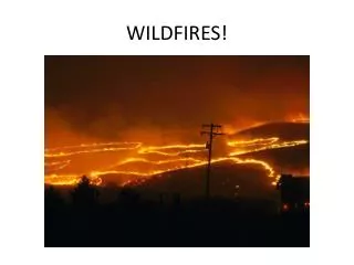
Illegal Border Crossers and Wildfires in AZ. Geoffrey Krassy GEOG 594A Prof Todd Bacastow. The Question…. Are the occurrence, rates and/or severity of wildfires in southern Arizona affected by the frequency of smuggling operations which occur.

E N D
Illegal Border Crossers andWildfires in AZ Geoffrey Krassy GEOG 594A Prof Todd Bacastow
The Question… • Are the occurrence, rates and/or severity of wildfires in southern Arizona affected by the frequency of smuggling operations which occur. Soldier Basin fire seen from Nogalas Intl Airport, AZ (Images from KVOA.com)
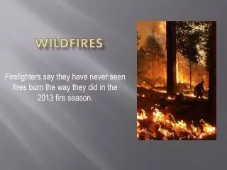
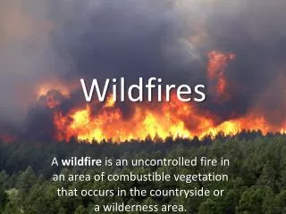
The problem of wildfires • Illegal immigration and smuggling is an endemic problem along the US-Mexico border. • The flow of contraband (both human and other) through the Tucson sector in Arizona varies dependent on numerous factors within the United States and Mexico. • The desert Southwest is also highly susceptible to brush and wildfires. • It has been shown that some of these fires have been deliberately set in order to draw attention away from another portion sector.
Study area • Red outline is the study area. It is the lower half of the Office of Border Patrol’s Tucson Sector.
Datasets • Primary • CBP Apprehension Data • Group size, location and time • Aggregate by year (2009-2013) • Clipped to study area • Datum: WGS84 • MODIS Thermal Anomalies & Fires • Aggregate by year • Datum: NAD1983 • Monitoring Trends in Burn Severity (MTBS), National MTBS Burned Area Boundaries Dataset • Datum: NAD 1983 • Background • CBP Administrative Borders, V10 • BaseMap – ESRI World Topo
Pre-processing: ArcGIS CBP Apprehension Data Optimized Hot Spot Analysis ArcGIS Repeat for each data-set Set for 50% Transparency Set Symbology GiBin for 3 Classes Red indicates 95% + confidence that the clustering is significant GoTo Visual Comparison
MODIS-Thermal Anomalies & Fire Overview MTBS (Monitoring Trends in Burn Severity) Overview
Apprehensions • Seems like a (mostly) random distribution. • Need something to find the trends.
Optimized Hot Spot Analysis • “Given incident points, creates a map of statistically significant hot and cold spots using the Getis-Ord Gi* statistic. It evaluates the characteristics of the input feature class to produce optimal results.” (ArcGIS 10.2 Help) • Analysis, in this case, is based on apprehended group size, in addition to geographic location. • It identifies the “non-random” elements. • Non-random implies a regular route. • Note: these are the groups apprehended, not necessarily the ones who started fires.
Conclusions • Visual correlation performed for every fire noted from 2009-20012 • Every notable fire within 25 NM of the border was within 1 NM of an Apprehension HotSpot. • Considering that National Park Service claims 90% of wildfires are of human origin, and that the fire locations are functionally depopulated… • It is likely that most of the wildfires in southern Arizona are caused by illegal border crossers.