Download
1 / 18
190 likes | 423 Views
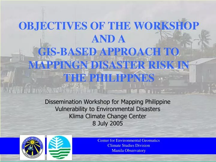
Dissemination Workshop for Mapping Philippine Vulnerability to Environmental Disasters Klima Climate Change Center 8 July 2005. Center for Environmental Geomatics Climate Studies Division Manila Observatory. OUTLINE OF PRESENTATION. OBJECTIVES OF THE WORKSHOP THE VM-DENR PROJECT

E N D
Dissemination Workshop for Mapping Philippine Vulnerability to Environmental Disasters Klima Climate Change Center 8 July 2005 Center for Environmental Geomatics Climate Studies Division Manila Observatory
OUTLINE OF PRESENTATION • OBJECTIVES OF THE WORKSHOP • THE VM-DENR PROJECT • WHERE DOES THE MONEY GO? • DISASTER LANGUAGE • THEORETICAL FRAMEWORK • HAZARDS • STATEMENT OF THE MAPPING PROBLEM • THE GIS APPROACH • CATEGORIES OF FACTORS • DIRECTIONS
OBJECTIVES OF THE WORKSHOP • Objectives • To disseminate findings of the project • To obtain feedback on the usefulness of results • To find out how best to inform the public about project results • To explore follow-up activities arising from results and feedback on them • Mechanics
THE VM-DENR PROJECT • “Mapping Philippine Vulnerability to Environmental Disasters” Susceptibility to and capacity to cope with stresses Spatial information Spatial analyses Targetted and localized action Collective impacts of damaging events upon our surroundings
Risk likelihood of harm, loss, disaster Hazard physical impact of disturbance Exposure elements affected by hazard Vulnerability capacity of community to prepare, absorb, recover from hazard DISASTER LANGUAGE Risk = Hazard x Exposure x Vulnerability
THEORETICAL FRAMEWORK Risk = H x E x V
HAZARDS • Natural • Typhoon • Drought (El Nino) • Earthquake (Tremor, Landslide) • Volcano • Tsunami • Anthropogenic • Deforestation • Mining • Climate change (historical, projected)
STATEMENT OF THE MAPPING PROBLEM • The concept of vulnerability, coupled with its geographic or spatial perspective, gives us meaningful insights. • In particular, vulnerability mapping (VM) assists in spatial analyses towards the formulation of more effective ways to respond in terms of: • Policy and decision-making • Strategizing adaptation.
THE GIS APPROACH • The GIS approach, as illustrated, facilitates:
THE GIS APPROACH Cont’d • Base mapping with administrative units, • Grouping of map themes by categories and sub-categories, • Breakdown of legends into variables and their corresponding characteristics, • Overlaying and/ or correlation of themes of different types and forms, • Change detection or multitemporal studies for monitoring conditions.
THE GIS APPROACH Cont’d • Comparative matrices complement mapping by way of: • Spatial databases, based on which logical and/ or numerical operations are performed, • Comparison across spatial units, these being regions and provinces, • Comparison across different themes by category of hazards and disasters, • Merging of qualitative with quantitative assessments.
CATEGORIES OF FACTORS • The Manila Observatory and its research partners have been aware of complex factors at play in the occurence of disasters: • Climate/ weather-related, • Geophysical, • Ecological, • Anthropogenic (Human/ Developmental).
CATEGORIES OF FACTORS Cont’d • These categories guided the application of GIS in VM • The boundaries of these categories are not strict or absolute or the categories are not exclusive. • Each category of factors has unique characteristics. • These complicate overlays and intersections within and across categories.
NAMRIA Base Map by Province Philippine Ecoregions Integrated Marine and Terrestrial Priorities Land Use Classification (2 versions) Land Cover Major River Basins, Water Resources Regions and Critical Watersheds Slope map Groundwater Resource Philippine Forest Cover and Cover Types 1997 and Projected 1999 Groundwater Availability Types of Habitat Threatened Resources and Biodiversity DIRECTIONS • The generation of composite (aggregated) vulnerability indices via GIS is promising at both national and local scales. • There is a need to localize disaster vulnerability identification and mapping for the country.
ACKNOWLEDGEMENTS • Department of Environment and Natural Resources (DENR) • The Ford Foundation • Luis A. Yulo Foundation for Sustainable Development (LAYFSD) • National Disaster Coordination Council, Office of Civil Defense (NDCC/ OCD) • Philippine Atmospheric, Geophysical and Astronomical Services and Administration (PAGASA) • Urban Research Consortium (URC)
PROJECT TEAM • Fr. Jose Ramon T. Villarin, SJ • Dr. May Celine T.M. Vicente • Engr. Ellen Rose E. Caniete • Climate and Weather-Related Factors • Ms. Lourdes V. Tibig • Ms. Anna Liza T. Solis • Ella Cecilia R. Castillo • Charlotte Kendra G. Castillo • Geophysical Factors • Fr. Sergio S. Su, SJ • Dr. Emmanuel G. Ramos • Ma. Grace C. Cardinal • Ecological Factors • Dr. Teresita R. Perez • Ms. Lizette S. Fernandez • Engr. Joel D. de Mesa • Anthropogenic (Human/ Developmental) Factors • Dr. May Celine T.M. Vicente • Engr. Joel D. de Mesa • Archilles L. Velante
REFERENCES Coburn, A.W, Spence, R.J.S and Pomonis, A. Vulnerability and Risk Assessment, 2nd ed. Disaster Management Training Programme, UNDP, 1991. Downing, T.E. and Lonsdale, Kate. Concepts of Vulnerability, AIACC Vulnerability and Adaptation Training, Draft. 28 January 2002. Villarin, SJ, Jose T., ed. Disturbing Climate. Quezon City: Manila Observatory, 2001.