Download
1 / 23
230 likes | 357 Views
Chapter 4. Young Geographers. What does Geography look like?. Sample lessons— Flat Stanley The Erie Canal Sending exchange packages Making adobe houses The World Wide Travel Agency Making classroom maps School wide Geography immersion. 1. What is Geography?.

E N D
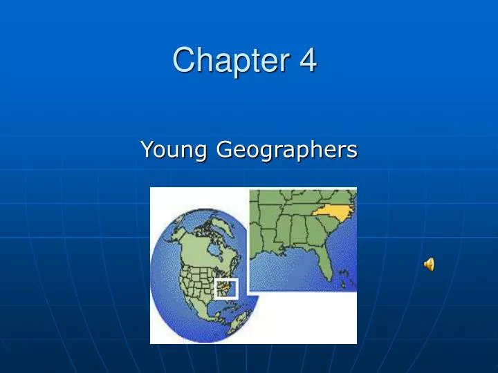
Chapter 4 Young Geographers
What does Geography look like? • Sample lessons— • Flat Stanley • The Erie Canal • Sending exchange packages • Making adobe houses • The World Wide Travel Agency • Making classroom maps • School wide Geography immersion
1. What is Geography? • Geography is the study of the connections between people and places on Earth. • It is the science of space and place. • It brings together the physical and human dimensions of the world in the study of people, places, and environments.
What Is Geography? Geography- The study of: WHEREplaces are located, WHYplaces are located where they are, HOWthose places affect the lives of people, and HOWpeople interact with their environment.
2. Why is Geography important? • Global Society/interconnected world • Illiteracy of students in US • Four reasons • Existential: understand where you are • Ethical: understand interdependency and basis for cooperating • Intellectual: become better informed; therefore make better decisions • Practical: better equipped to solve problems
The Power of Geography Outsourcing Imports Exports Globalization Economic Reason
The Power of Geography Global Warming http://www.oftheworld.tv/0405/amazon1.htm Energy and the Environment http://www.msnbc.msn.com/id/6407196/ Environmental Reason
The Power of Geography Diplomacy Terrorism U. S. Military Geo-Political Reason
The Power of Geography As our world becomes ever more interconnected, a practical knowledge of geography becomes more critical. Citizens need to understand people and cultures in order to make informed decisions about our role in world affairs. Geo-Political Reason
The Power of Geography World Heritage Sites National Parks Aesthetic Reason
The Power of Geography Geography is visual. It captures the imagination and stimulates curiosity about the world; its diverse inhabitants and places, as well as about local and regional diversity. Often the classroom is a student’s first “window on the world.” Aesthetic Reason
3. What is the content of Geography? • National Geography Standards Six Essential Elements • The World in Spatial Terms • Places and Regions • Physical Systems • Human Systems • Environment and Society • Uses of Geography • NC Standard Course of Study
3. What should young geographers know and be able to do? • Five Themes of Geography (a way of organizing the content) • Location • Place • Relationships within Places (Human-Environmental Interaction) • Movement • Regions
4. How should Geography be taught? • Teacher Guided Discovery • Observation • Speculation • Investigation • Extension • Reinforcement • Evaluation
Independent Projects • Opening • Investigating or producing • Culminating activity
5. Maps: the Tools of Geographers • A map is a graphic representation of the Earth’s surface drawn to scale, as seen from above. • Students need the basic skills to construct maps and to interpret maps. • Map skills and understandings are developmental—children must build and play before formal map reading can begin.
Basic map skills for early grades • Locating places • Recognizing and expressing relative location • Interpreting map symbols • Developing a basic idea of relative size and scale • Reading directions • Understanding the globe is the most accurate representation of the earth’s surface
Some types of maps for early elementary • Three dimensional classroom maps • Flat maps • Model communities • Story maps • Mental maps
Refining map skills – primary grades • Map Symbols • Direction • Scale • The Globe • Understand the basic roundness of the Earth • Understand the differences between land (continents) and water areas • Begin to locate the poles, major cities and the US
Basic map skills for upper elementary • Place location and direction • Latitude and longitude • Relative location • Map symbols • Scale • Reading a globe
Some types of maps for upper elementary • Political maps • Physical maps • Topographical maps • Raised relief maps • Weather maps • Special purpose maps • Historical maps • Road maps • Globes
Teacher Reference Websites for Geography • National Council for Geography Education http://www.ncge.org • National Geographic Society http://www.ngsednet.org • North Carolina Geography Alliance http://www.ngsednet.org/ncga • Google Earth http://www.Earth.google.com