Download
1 / 23
230 likes | 455 Views
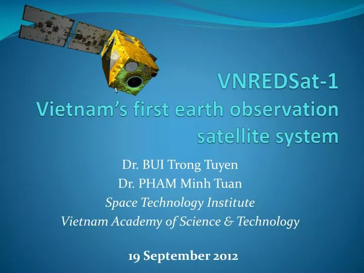
VNREDSat-1 Vietnam’s first earth observation satellite system . Dr. BUI Trong Tuyen Dr. PHAM Minh Tuan Space Technology Institute Vietnam Academy of Science & Technology. 19 September 2012. Outline. General information VNREDSat-1 satellite Ground segment Launch and insurance

E N D
VNREDSat-1Vietnam’s first earth observation satellite system Dr. BUI Trong Tuyen Dr. PHAM Minh Tuan Space Technology Institute Vietnam Academy of Science & Technology 19 September 2012
Outline • General information • VNREDSat-1 satellite • Ground segment • Launch and insurance • Training & technology transfer • Project benefits • Conclusion
VNREDSat-1 Project’s highlights • In the frame of the National Strategy for Research and Applications of Space Technology towards 2020. • Based on research, assessments on Vietnam’s practical needs, as well as current technologies and trends in the world. • Taking all the advantages of the existing infrastructure in Vietnam including the Vietnam natural resources and environment monitoring system implemented by MONRE for the purposes of uniform administrative management and cost-effectiveness. An upgrade of the satellite image receiving station and joint operation procedures will be put in place. • Once completed, Vietnam will possess a complete and independent EO system including infrastructure, human resources and knowledge, that also supplies for the increasing needs of Vietnamese ministries, agencies, cities and provinces.
General information (1) • Project Owner: Vietnam Academy of Science and Technology Small Satellite Project Management Unit • Implementation period: 2011 – 2014 • Total budget: 55,2 million Euro • Finance source: French ODA • Prime contractor: EADS Astrium
General information (2) Project’s Main Items: 1. Design, manufacture and launch of VNREDSat-1 satellite. 2. Establishment of a Satellite Ground Control Station 3. Upgrade of the Remote Sensing Receiving Station (Vietnam National Remote Sensing Center, MONRE) 4. Satellite image calibration site 5. Procurement of Launch and Insurance services for VNREDSat-1 satellite. 6. Setting up a Communication links between Ground stations. 7. Training and Transfer of Small Satellite Technology Items 1, 3, 5, 7 are implemented by EADS Astrium. Items 2, 4, 6 are of VAST responsibilities. 5
VNREDSat-1 satellite The 1st optical earth-observation satellite of Vietnam Mission: Earth observation in PAN and 4 MS bands (Blue, Green, Red, near Infrared) Revisit time: 3 days Orbit characteristics: SSO, 680 km altitude Local time of ascending node : 10:30 PM Spatial resolution: 2.5m (PAN) and 10m (MS) Platform: 600 mm x 570 mm x 500 mm Total mass: ~130kg Life-time: 5 years (guaranteed) 6
VNREDSat-1 satellite overview VAST delegation during the review in June 2012. 8
VNREDSat-1 satellite overview VNREDSat-1 satellite before and after thermal vacuum tests. 9
VNREDSat-1 access corridors over 1 day VNREDSat-1 access corridors over 3 day: Whole world coverage 11
Launch service • VNREDSat-1 satellite is compatible with many launchers such as Soyuz, VEGA, PSLV, Rockot, Dnepr, … • Target of launch period: 2013 – 2014. • Selection depends on: • Satellite mission and design • Market • Launcher availability • ODA constraints 16
Launch insurance • Coverage period: from intentional ignition of the launcher until end of In-Orbit tests. • Based on System Performance Mark (PM) • Total loss: rebuild and re-launch of a replacement satellite • Partial loss: equivalent indemnity to be paid 17
Training and Technology transfer • Long-term training: • Customer Trainee Team (CTT): 15 VAST members • Phase 1: Academic training (Basic and advanced) • Phase 2: On-the-job training, involves in satellite and ground segment development activities (in France and in Vietnam) • Short-term training: in small satellite technology, program management, remote sensing applications, … 18
Potential Applications • Cartography • Agriculture: • Vegetation identification and monitoring • Forestry management • Environment surveillance : oil spill, pollution, • Coastal management • Ocean : water quality, maritime transport planning • Disaster mitigation : monitoring, prediction, early warning, recovery and rehabilitation.
VNREDSat-1 project benefits • Science and technology • A core engineers team is trained on satellite technology, to archive independent capabilities in space for Vietnam . • Guidelines for other hi-tech industries in Vietnam such as electronics, telecommunication, IT, material science, robotics as well as other basic research fields such as mathematics, mechanics and physics, etc. • Satellite images are key inputs for research in ecology, geography, geology, hydrology, marine and environment. The research quality will be remarkably improved by maximizing utilization of satellite images. 20
VNREDSat-1 project benefits • Socio-economy: • Active daily monitoring of natural disasters for timely response and rescue activities to minimize losses in properties and human lives. • Provision of high-resolution satellite images for land-use mapping, inventory, investigation and planning in forestry, agriculture, aquaculture; urban planning, ... • Topographical map regular correction, annual update. • Mineral resources research. • Water resource and environmental change monitoring, e.g. unknown sources of oil spill in 2007 due to lack of timely satellite images. • Off-shore fishing applications. 21
Conclusion • VNREDSat-1 satellite system, the 1st EO system of Vietnam, will supply for the increasing need of remote sensing images in Vietnam, for both scientific and economic objectives. • The success of the VNREDSat-1 project will put Vietnam in a higher position amongst the countries possessing their own EO satellite systems. • VAST, as the project owner, has entrusted EADS Astrium – an European leading satellite manufacturer – to develop its 1st earth-observation satellite and to aim for the long-term cooperation in space technology. 22