Download
1 / 15
150 likes | 260 Views
Optimalization of Traffic Management in cities based on Satellite Positioning System. Prof. Dr. Pavel Pribyl. Characteristic of project. Research project No. 802/210/112 Founded by Ministry of Transport Proposed for 6 years (2001-2006)

E N D
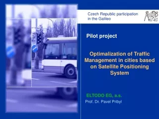
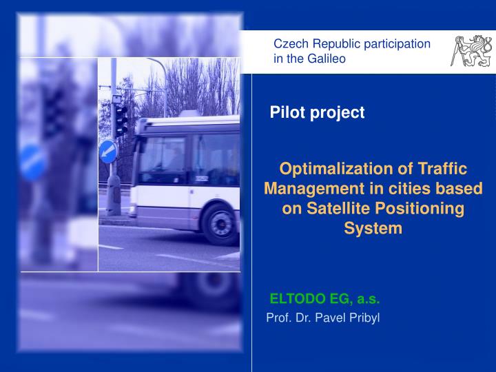
Optimalization of Traffic Management in cities based on Satellite Positioning System Prof. Dr. Pavel Pribyl
Characteristic of project • Research project No. 802/210/112 • Founded by Ministry of Transport • Proposed for 6 years (2001-2006) “Participation of the Czech Republic in the Galileo Project” • Optimalization of traffic management in the cities • New procedure based on queue length • Queue length estimation based on model and FC • Traffic accident automatic identification • GPS signal ability in the city corridors Pilot project: Optimalization of Traffic Management Based on Satellite Positioning System
Traffic control in the cities - detectors • Traffic Responsive Control • time gap between cars • presence (TRC) 40 m • Traffic adaptive control • macroscopic parameters • strategic (TAC) 100 m Level of services Pilot project: Optimalization of Traffic Management Based on Satellite Positioning System
Traffic control in the cities • Parameter (LOS ,LDET) • Information power transferred to traffic controllers Pilot project: Optimalization of Traffic Management Based on Satellite Positioning System
Traffic control in the oversaturated networks • Queue length extension to the previous crossing • Blocking of collision directions • Domino effect 22. November 2004, 16 hours Pilot project: Optimalization of Traffic Management Based on Satellite Positioning System
New procedure of traffic control • Input parameters • queue length • priority of directions • capacity of stages • Procedure • Identification of an area • Lane priorities • Cycle time calculation • Offset calculation • Split optimalization Capacity of stage: Pilot project: Optimalization of Traffic Management Based on Satellite Positioning System
New procedure of traffic control - algorithm Queue length estimation FC data Cycle time calculation Split optimalization Pilot project: Optimalization of Traffic Management Based on Satellite Positioning System
Queue length by floating cars • Number of FC depends on accuracy of TT estimation • Probabilistic theory • Strakonická street – 1800 m, 2 traffic controllers • TT actualization in 15 minutes … 20 FC/90 % • Radlicka street – 500 m, 4 traffic controllers • … 36 FC Pilot project: Optimalization of Traffic Management Based on Satellite Positioning System
Queue length estimation – data and FC 1 2 3 4 5 6 Hybrid model - Time development of occupancy - Hydrodynamic analogy - Verification by FC • Legth of the queue of cars Pilot project: Optimalization of Traffic Management Based on Satellite Positioning System
Pilot evaluation – crossing Nr. 4.421 • Control algorithm based on queue length (simplified) • SSZ 4.421, traffic problems, queues in both direction • WiFi communication to the traffic centre Ordinary improvement in travel time 5-10 % Pilot project in the 2005 – 6 crossings Pilot project: Optimalization of Traffic Management Based on Satellite Positioning System
Floating car measurement (15 hours) Stationary measurement (2 x 24 hours) Measurement in the city corridors (1) • Evaluation • Number of satellites • Parameter DOP • Inaccuracy of position Pilot project: Optimalization of Traffic Management Based on Satellite Positioning System
Evaluation of FC Measurement in the city corridors (2) Pilot project: Optimalization of Traffic Management Based on Satellite Positioning System
Measurement in the city corridors (3) Pilot project: Optimalization of Traffic Management Based on Satellite Positioning System
Conclusions • The method of city management based on queues estimation is very actual • Reduction of number of FC is necessity but !!! • FC data for verification of queue length are essential • The experiences will be available before Galileo will be launched (… very important) Zpět Pilot project: Optimalization of Traffic Management Based on Satellite Positioning System
Thank you Pavel Pribyl pribylp@eltodo.cz Pilot project: Optimalization of Traffic Management Based on Satellite Positioning System