Download
1 / 7
70 likes | 291 Views
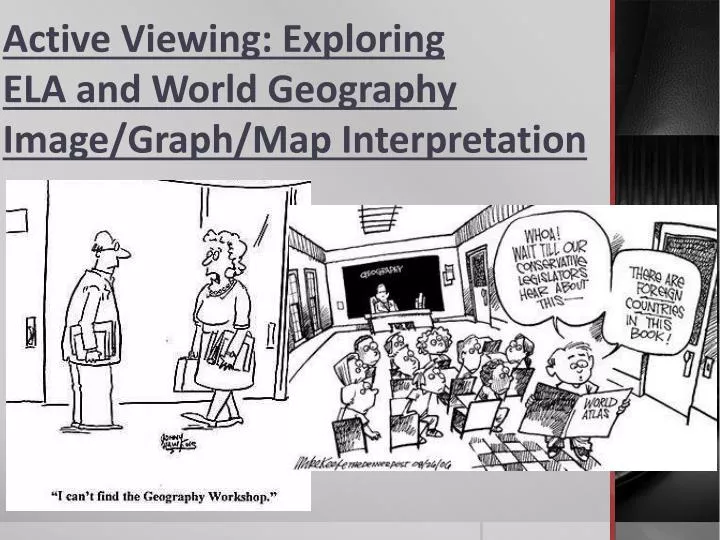
Active Viewing: Exploring ELA and World Geography Image/Graph/Map Interpretation. Different Types of Viewing.

E N D
Active Viewing: Exploring ELA and World Geography Image/Graph/Map Interpretation
Different Types of Viewing • Part of your job as a developing student is to learn the differing types of viewing and interpreting skills necessary in life. Whether passively watching television or actively viewing materials for academic purposes or for personal research, each distinct viewing task calls for particular strategies and rhythms. • Even when performing academic visual interpretations, the nature of the viewing process is shaped by each individual task (i.e. the “reading” of an advertisement to analyze rhetorical appeals and propaganda techniques greatly differs from interpreting a graph or map to obtain geographic information or to reach cultural conclusions).
ELA Active Viewing • When performing interpretation of visual materials within an English Language Arts class it becomes imperative that you become an active viewer and not a passive observer. Carefully investigate all portions of the included image(s) and conscientiously read all included words and phrases. • When analyzing advertisements and visual propaganda, one must consider the intended audience, both the main idea and any associated minor assumptions, and any utilized rhetorical appeals (Logos, Pathos, & Ethos) and propaganda techniques (such as Fear, Glittering Generalities, or Bandwagon appeals).
Example ELA Visual Interpretation Readers of the article might draw which conclusion if they drove by a sign like the one shown in the box titled “Facts About Black Bears”? A) Camping is too dangerous for most people. B) Vehicles should not be left unattended. C) Extra food should be shared with bears. D) Food should not be left in vehicles. Facts About Black Bears: Type—Mammal Diet—Omnivorous; mostly eats grasses, roots, berries, and insects; can easily develop a taste for human foods and garbage Average life span in the wild—20 years Size—5 to 6 feet long Weight—200 to 600 pounds Home—Creates dens in caves, burrows, brush piles, or other sheltered spots Habitat—Lives in diverse climates, from Canada to northern Mexico The correct answer is “D”. Process of elimination becomes important in this situation. Answer choices “C” and “A” are not directly supported by the image or associated information. Although answer “B” can be inferred, it is also not directly evident in the provided information. Only answer choice “D” can be directly inferred from the associated image and text.
World Geography Graph/Map Interpretation • When performing interpretation of visual materials within a geographic context, it is still imperative that you become an active viewer and not a passive observer. Carefully investigate all portions of the included image(s) and conscientiously read all included words and phrases. • When interpreting persuasive imagery such as political cartoons, one must still consider the intended audience, both the main idea and any associated minor assumptions, and any specific political or historical contextual information needed to reach a full understanding of the major message. • If given a more straightforward image with which to contend, be ready to interpret and connect exact image details and features directly to studied geographical or cultural information.
Example World GeographyVisual Interpretation The common characteristics of these countries can be attributed to their — A) economic relationship with industrialized. countries to their north B) past military alliances with one another. C) preservation of Mayan and Aztec traditions. D) history of colonization by a European country. Selected Characteristics of Bolivia, Mexico, and Panama The correct answer is choice “D”. Neither answer “A”, “B”, or “C” can be surmised based on the table above. The only answer with any connection to the presented information is answer selection “D” – the common primary religion and official language pinpoints the parallel history of colonization shared by these nations.