Download
1 / 23
230 likes | 235 Views
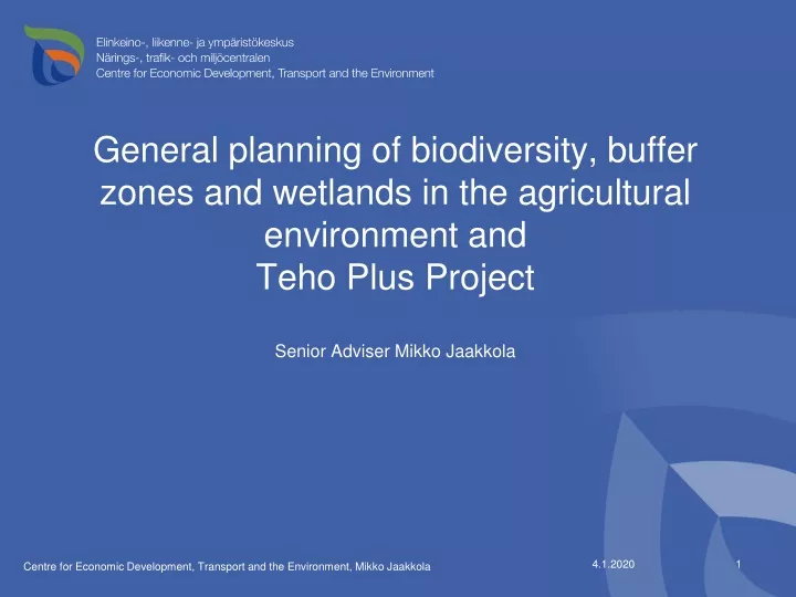
General planning of biodiversity , buffer zones and wetlands in the agricultural environment and Teho Plus Project Senior Adviser Mikko Jaakkola. The planning is.... A part of the implementation of Finnish agri-environment programme (RDP)

E N D
General planning of biodiversity, bufferzones and wetlands in the agriculturalenvironment and Teho Plus ProjectSenior Adviser Mikko Jaakkola Centre for Economic Development, Transport and the Environment, Mikko Jaakkola
The planning is.... • A part of the implementation of Finnish agri-environment • programme (RDP) • Funded by Ministry of Agriculture and Forestry • Coordinated by regional environment authorities • A way to find out needs in the planning area, present ideas and • possibilities offered by the area and location • Large scale planning • (river basin, region, municipality) Centre for Economic Development, Transport and the Environment
The planning is done to.... • To increase landowners interest in water protection and other environmental issues • To increase farmers willingness to apply for support for establishment and management of buffer zones and wetlands as well as other special measures • Find out where the measures should be located to be most • effective and get them there • To allocate the support funds to optimal sites • To make better co-operation and understanding between • different interest groups concerning agriculture and environment Centre for Economic Development, Transport and the Environment
The planning is done in co-operation with • Farmers and landowners • Regional and local agriculture, forestry and fishery authorities • Regional and local unions of farmers • Local advisory organisations • Other interest groups (associations for nature, conservation, localhunting and • fishingclubs, other NGO etc.) • The planning is not • farm-scale planning, construction planning, site specific designing, • no surveying or making measurements, no considering permits • possibly needed Centre for Economic Development, Transport and the Environment
The planning is done on the areas where • Agriculture is the most prevailing form of land use , nutrient load to waters from agriculture is considerable • Risk of erosion is high, flooding occurs frequently • Water quality needs improving and there is local willingness to act • There are nature protection areas, red list species , valuable habitats, lot of variety in landscape = potential biodiversity is high Centre for Economic Development, Transport and the Environment,
So far 42 plans carried out Centre for Economic Development, Transport and the Environment
The planning procedure 1. background research catchment area, channels, land use, topography, soil, nature protection areas, valuable habitats and species, old maps, aerial photos etc. , analyses using GIS 2. field investigation, always targeted by background information mapping suitable sites for buffer zones, wetlands, potential biodiversity, vegetation etc. 3. landowners (and local authorities, interest groups etc) are informed on every phases of the planning process and always before field work when possible sites are on the maps before the final plan and maps are drawn everyone interested has possibility to comment on the draft maps and plans – 4. “open house”presentations and deciding – invitation is sent to every farmer on the planning area, others are invited by newspaper ads 5.publishing: reports, booklets or map presentations 6. voluntary establishment and management of bufferzones, maintaining meadows or other kinds of biodiversity objects or construction of wetlands Centre for Economic Development, Transport and the Environment
Open house presentations – invitation is sent to every farmer on the planning area, others are invited by newspaper ads Centre for Economic Development, Transport and the Environment,
managing bufferzone Centre for Economic Development, Transport and the Environment
Places for buffer zones • Fields with frequently flooding
Places for buffer zones • Fields with deep slopes and high risk of erosion Pic: Anni Karhunen Lounais-Suomen ympäristökeskus /Anni Karhunen
Need for bufferzone Field sloping towards river Kuva: Eriika Lundström
For example lake drained to getmorefields and for forestry, - notsuccesful – : suitablesite for wetland Centre for Economic Development, Transport and the Environment, Anni Karhunen
Multifunctional wetlands • Existing wetlands (for development orenlargement) • Old naturallysites • New suitable places Background pic: Anni Karhunen Lounais-Suomen ympäristökeskus /Anni Karhunen
Numbers in the map indicatethe objects in the plan, there is a short description and recommendations for management
Good results : • More applications and more commitments from planning areas • Most of applications from the sites where buffer zone or other special measure is really needed or is effective • Giving comments and making decisions about applications easier • When the need is already assessed and in GIS-system (work of authorities is easier) • Planning has been a good advisory tool in the environmental issues concerning farming • Information collected during planning is useful and valid long time e.g. for other planning process or advisory projects Centre for Economic Development, Transport and the Environment,
But… • Planning doesn’t improve water quality or promote biodiversity • Should we do something else ? – e.g. still only 30-50 % of buffer zones needed in the catchments are established at its best • Bufferzones and wetlands improve water quality only little, not state of our coastal waters, even if local effects are positive (loading from agricultural land enters the water bodies through field drainage system) • Improvements in water quality are painfully slow • Planning hasn’t solved management problems (e.g.how to manage meadows cost-effectively without cattle or what to do with bufferzone grass) Centre for Economic Development, Transport and the Environment
There is the need to change the planning methods or the focus ? • Need to control water flow in drainage areas - floods and drouhgts, should the planning be done from stronger hydrological viewpoint ? • More co-operation with forestry sector ? Pilot project in SW Finland with forest sector (METSO-network Programme) • Target to biodiversity or water protection, soil protection or all ? • Towards real catchment scale planning or a maybe more effective farm scale planning or both? Centre for Economic Development, Transport and the Environment
What is TEHO Plus? • - Project tries to find new ways for moresustainablefarming • - Promotingmethods for waterprotection, maintainingorimprovingbiodiversity,GHG-emissions, adapting to climatechange • Funded by Ministry of Agriculture and and Ministry of Environment Forestry • Coordinated by ELY-center and reigional union of farmers • 173 co-operativefarms • Plantproduction and livestockfarms • Regular and organic • Everyfarmgetsenvironmentalhandbook
Activities in TEHO Plus Focus on farmlevel - handbook for waterprotectionissues • General information of agriculturalwaterprotection • Best practices • Backgroundinformation of the farm • Encouragement • Development of practices • Targeting of measures • Calculation of farm nutrient balances (N, P) • Visualized information, use of maps • One general basicstructure Photo: A. Kulmala
Activities in TEHO Plus Handbook of farm’s environment issues • The farmers involved in the project have gained increased environmental awareness on both water protection and biodiversity issues through the advisory work • With the help of the maps, farmers have been shown the field plots on their own farms which are exposed to the most serious risk of erosion. This is backed up by information on nutrient balances and phosphorus figures. • During farm visits the farms have been assessed as to whether they provide suitable places for buffer zones, wetlands and sedimentation ponds.
Activities in TEHO Plus • New knowledge has been produced on catch crop cultivation after growing early vegetables. Significance will increase if it will be more autumn rains and milder winters due to climate change • Nutrient balances have been included in advisory services on a farm-specific basis. • Proposals have been made on the structure of planned agri-environmental aid program 2014 – and for utilising GIS data in the targeting of environmental actions.
Thank you for your attention! Centre for Economic Development, Transport and the Environment