Download
1 / 10
100 likes | 224 Views
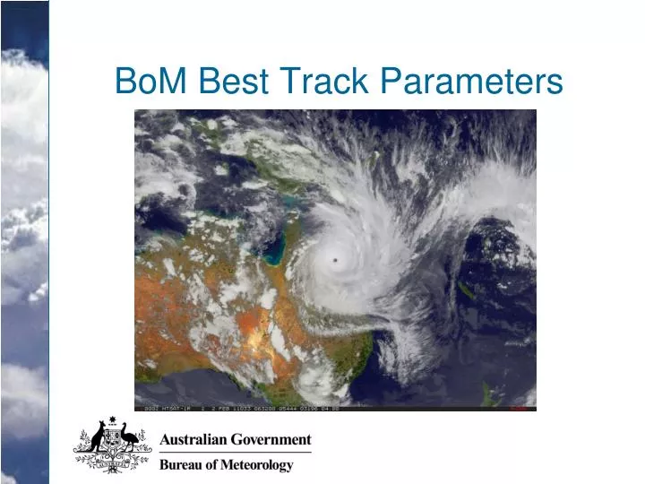
BoM Best Track Parameters. BoM Best Track Parameters. “Towards standardisation” National trainer, competency standards for best tracking New database (no longer a flat file) from which WMO format can be derived (i.e. WMO dataset is a subset of Australian dataset) Template for TC reports

E N D
BoM Best Track Parameters • “Towards standardisation” • National trainer, competency standards for best tracking • New database (no longer a flat file) from which WMO format can be derived (i.e. WMO dataset is a subset of Australian dataset) • Template for TC reports • Only TCs are best tracked. “Null cases” (non-developing lows) are not entered into the database. BoM Operational TC Satellite Analysis Procedures
BoM Best Track Parameters • TC definition: • A non-frontal low pressure system of synoptic scale developing over warm waters having organised convection and a maximum mean wind speed of 34 knots or greater extending more than half-way around near the centre and persisting for at least six hours. • Fine print: • “Maximum mean wind speed” = “maximum” 10-minute wind excluding eyewall mesovortices, tornadoes etc • Since 10-minute winds are used, systems with maximum CI of T2.5 are not included in the database. BoM Operational TC Satellite Analysis Procedures
BoM Best Track Parameters • cmt_obs VARCHAR2(240) - • lat NUMBER(5,2) deg N • lon NUMBER(6,2) deg E • position_method NUMBER(2) code • position_uncertainty NUMBER(3) km • DVORAK_data_T_no NUMBER(2,1) - • DVORAK_model_T_no NUMBER(2,1) - • DVORAK_pattern_T_no NUMBER(2,1) - • DVORAK_final_T_no NUMBER(2,1) - • DVORAK_CI_no NUMBER(2,1) - • central_pres NUMBER(4) hPa • (central_pres_uncertainty NUMBER(2) hPa) • max_rep_wind_lon NUMBER(6,2) deg E • central_pres_method NUMBER(2) code • pres_wind_relation_used NUMBER(2) code • env_pres NUMBER(4) hPa • (env_pres_uncertainty NUMBER(2) hPa) • mn_radius_outer_isobar NUMBER(4) km • (mn_radius_outer_isobar_uncertainty NUMBER(3) km) BoM Operational TC Satellite Analysis Procedures
BoM Best Track Parameters max_rep_swl_dir NUMBER(3) deg) mn_radius_gf_wind NUMBER(4) km mn_radius_gf_secNE/SE/SW/NW NUMBER(4) km mn_radius_sf_wind NUMBER(4) km mn_radius_sf_secNE/SE/SW/NW NUMBER(4) km mn_radius_hf_wind NUMBER(4) km mn_radius_hf_secNE/SE/SW/NW NUMBER(4) km mn_radius_max_wnd NUMBER(4) km (mn_radius_max_wind_uncertainty NUMBER(2) km) (mn_radius_gf_wind_uncertainty NUMBER(2) km) (mn_radius_sf_wind_uncertainty NUMBER(2) km) (mn_radius_hf_wind_uncertainty NUMBER(2) km) mn_radius_max_wind_method NUMBER(2) code mn_radius_gf/sf/hf_wind_method NUMBER(2) code BoM Operational TC Satellite Analysis Procedures
BoM Best Track Parameters max_wind_spd NUMBER(4,1) m/s (max_wind_spd_uncertainty NUMBER(3,1) m/s) max_wind_spd_method NUMBER(2) code max_wind_gust NUMBER(4,1) m/s max_wind_gust_method NUMBER(4,1) m/s mn_eye_rad NUMBER(3,1) km (mn_eye_rad_uncertainty NUMBER(2) km) mn_eye_rad_method NUMBER(2) code ( Reported values of: winds, waves, swell, tide anomaly,… ) BoM Operational TC Satellite Analysis Procedures
BoM Best Track Parameters • RMW: generally assigned as being near the inner edge of the eye wall. • Eye radius: • average when asymmetrical • traditionally IR/VIS or radar • comments added when based on MW (37GHz suggested) • caution re distance from radar BoM Operational TC Satellite Analysis Procedures
BoM Best Track Parameters • Environmental Pressure (Pe) = (POCI) + 2 hPa. • Pressure of the Outermost Closed Isobar (POCI) • estimated from MSLP analyses • Outer Closed Isobar “should correspond to the extremity of the symmetric surface wind circulation.” • “determine when the cyclonic curvature becomes small” • average across diurnal variation • even numbers (i.e. every 2 hPa). BoM Operational TC Satellite Analysis Procedures
BoM Best Track Parameters • R34/R48/R64 • Record asymmetries when evident • Overall radius = mean of the non-null quadrant values. • Gale radius may be allocated in one or two quadrants without the system reaching the criteria of a tropical cyclone. BoM Operational TC Satellite Analysis Procedures
Thank you! BoM Best Track Parameters Questions BoM Operational TC Satellite Analysis Procedures