Download
1 / 15
150 likes | 280 Views
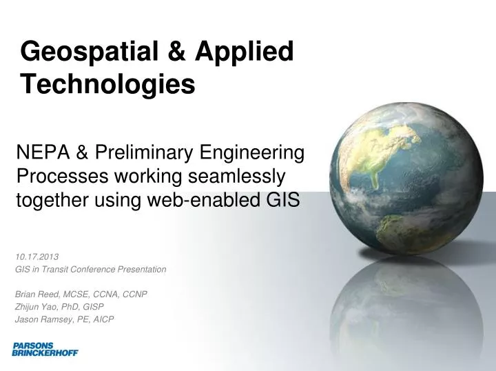
Geospatial & Applied Technologies. NEPA & Preliminary Engineering Processes working seamlessly together using web-enabled GIS. 10.17.2013 GIS in Transit Conference Presentation Brian Reed , MCSE, CCNA, CCNP Zhijun Yao, PhD, GISP Jason Ramsey, PE, AICP. Agenda.

E N D
Geospatial & Applied Technologies NEPA & Preliminary Engineering Processes working seamlessly together using web-enabled GIS 10.17.2013 GIS in Transit Conference Presentation Brian Reed, MCSE, CCNA, CCNP Zhijun Yao, PhD, GISP Jason Ramsey, PE, AICP
Agenda • Why do these processes need to work together • Concept • Needs • High-level benefits from approach • Data that is integrated together • Processes & methods overview • Samples
Why should these processes work together? • NEPA/Environmental Document Phases • Conceptual alternatives are prepared • Alternatives avoid, minimize and mitigate impacts • Analysis that is consistent, transparent and demonstrable • Environmental document decision to proceed based on data presented • PE/Design phases • CAD and GIS data and processes did not meet or align • Alternatives refinement and revisions out of phase to document • Design often disconnected from impacts previously • Design detail data forces new alignments • Design often impacting other features without knowledge previously • Design, build, bid vs. design, build • Track design changes against ROD • Knowing and proving what has changed and why
The benefits of the approach Costs Processes Marry the data to derive value (CAD and GIS) Comments/Responses in real-time Single view of data improves outcomes and schedules Everyone can see change as it happens (in advance of milestones) Analysis in real-time ROW costs/impacts Resource impacts Ridership/Construction impacts • Reduction in re-work from missing pieces or not knowing changes • Some things from concept will not work effectively • Common set of data for stakeholders throughout lifecycle – stakeholder analysis in real-time • More effective ROW analysis and costing • Limit impacts and LOD • Tools are developed to leverage on new projects
Data, Data & more Data Design - CAD Environmental - GIS Environmental Natural Resources Socio-Economic Resources 4(f) Disadvantaged/Social Justice Cultural/Historic Resources Ridership forecast Routes/Maintenance costs Soils Demographics Census Ridership Services/Routes • Alignments/Alternatives/Segments • Surveys • Business Access/Egress • Construction Impacts/Staging • Design Data • Stormwater • Traction Power/Tie Breaker • Offsite improvements • Stations • Vents/Shafts/Access • Yard/Shop
Processes & Methods – Design Team • Segment designers maintained common CAD files • Updates to content management portal (daily/weekly) • Lead designer review of CAD submittals • Approved data for publication/team use • Central CAD file end to end • Referenced key segment files • LOD continues to evolve • Tracked and issued ROW impacts in CAD from segment designers and surveyors
Processes & Methods – NEPA Team • Environmental/Cultural team • Uploaded changes in resources/attributes • Resource features refined from baseline originals • Field teams posted direct edits from Mobile devices • Downloaded current datasets from analytics routines for document sections • GIS team • Developed new tools & web mapping portal • Automated resource plate production • Managed data post and production release • Automated resource impacts tools and outputs to team • Supported ROW impact and cost analysis • Supported Ridership/Route impact and cost analysis
Q&A • Contact information: • Brian Reed • 410-385-4175 • reedb@pbworld.com