Download
1 / 10
100 likes | 265 Views
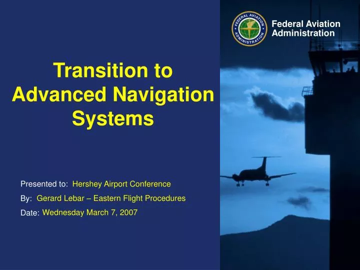
Transition to Advanced Navigation Systems. Hershey Airport Conference. Gerard Lebar – Eastern Flight Procedures. Wednesday March 7, 2007. The Expanding National Airspace System. 4,000 Public Use Airports (Paved) 14,800 Instrument Approach Procedure 10% annual growth

E N D
Transition to Advanced Navigation Systems Hershey Airport Conference Gerard Lebar – Eastern Flight Procedures Wednesday March 7, 2007
The Expanding National Airspace System • 4,000 Public Use Airports (Paved) • 14,800 Instrument Approach Procedure • 10% annual growth • 30,000 Obstruction Evaluations • 18% annual growth
NDB (No FAF) IAP TRAP 1. Length: Starts at Facility & extends out 10 NM. 2. Primary Area: 2.5 NM wide at Facility & expands out uniformly to 8 NM at 10 NM point. 3. Secondary Area: 0 NM at Facility & expands out uniformly to 2 NM at 10 NM point. 4. ROC: 350 FT.
RNAV (GPS) IAP TRAP 1. Length: Starts at Thld & extends out 5 NM. 2. Primary Area: 1.0 NM each side of FAWP & tapers in uniformly to .5 NM at the MAWP Displacement area. 3. Secondary Area: 1 NM wide at the FAWP & tapers to a width of .5 NM at the MAWP Displacement area. 4. ROC: 250 FT, Primary Area 250 Ft at inner edge & 0 Ft at outer edge.
CAT I/LPV TRAP Starts at Threshold and extends about 5 NM (depends on GS Intercept Altitude Threshold width 400’ each side of Rwy Centerline for W surface. At Precsion Final Approach Fix, width is 2200’ each side of Rwy Centerline for W surface There are two secondary surfaces (X and Y) that have 4:1 and 7:1 slopes (See slide seven for graphic) ROC is clear 34:1 slope with no GQS penetrations.
Final segment size LPV FINAL RNP FINAL
IAP Cancellation Program NDB IAPs – Cancelled nearly all NDB approaches. Only kept those where there were no other ground based approaches (VOR or ILS/LOC) VOR/DME (RNAV) – Converted to RNAV (GPS) approaches VOR - Seldom used approaches – only after coordination with Air Traffic and Airport Managers