Download
1 / 14
150 likes | 321 Views
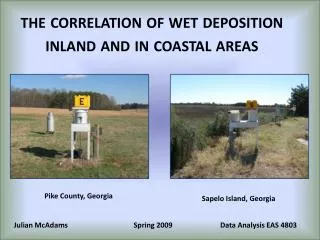
COASTAL AREAS. Gulf of Fonseca, Honduras Gulf of Guayaquil, Ecuador Huang He Delta, China Thonburi, Thailand Sundarban, India/Bangladesh. Phnom Penh, Cambodia Isahaya Bay, Japan Knife River Delta, Canada Ijsselmeer, Netherlands. Coast of Spain, Credit: Digital Globe.

E N D
COASTAL AREAS • Gulf of Fonseca, Honduras • Gulf of Guayaquil, Ecuador • Huang He Delta, China • Thonburi, Thailand • Sundarban, India/Bangladesh • Phnom Penh, Cambodia • Isahaya Bay, Japan • Knife River Delta, Canada • Ijsselmeer, Netherlands Coast of Spain, Credit: Digital Globe
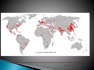
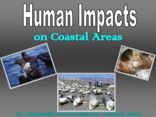
COASTAL FACTS • The oceans cover 70 per cent of the planet’s surface area and marine and coastal environments contain diverse habitats that support an abundance of marine life; coastal zones account for 20 per cent of the world’s land area • Coral reef ecosystems are increasingly being degraded and destroyed worldwide by a variety of human activities and by global warming The oceans cover 70 percent of the planet’s surface area and • Global harvests for marine fisheries have been above 80 million tonnes per year since the latter half of the 1980s, with peak of 87 million tonnes in 1997 and 2000 • Mangroves extend over 18 million hectares (44 million acres) worldwide, covering a quarter of the world’s tropical coastlines UNEP-CBD 2005; GEO Year Book 2006; UNEP 2005
Shrimp farms replacing mangroves in Gulf of Fonseca, Honduras 1987-1999: shrimp farms and ponds have mushroomed, carpeting the landscape around the Gulf of Fonseca, in blocks of blue and black shapes
Loss of Mangrove in Ecuador’s largest seaport - Gulf of Guayaquil 1985-2000: Loss of mangrove; aquaculture grew 30 percent in a 15-year period
Dramatic changes in Huang He Delta, China Images show the mouth of the Yellow River and the emergence of a huge parrot-headed peninsula • 1979-2000: Huang He’s yellow color is the result of huge loads of sediments
Changes in Huang He Delta, China • From 1989 to 1995 the Yellow River delta area grew • From 1995 to 2000 the Yellow River delta area shrank Credit: NASA Earth Observatory
Replacement of mangroves by aquaculture in Thon Buri, Thailand • 1973-1978: Area is caught in the battle between needs of people versus the welfare of the coastal areas • 2002: Shows extensive aquaculture ponds (blue patches inland)
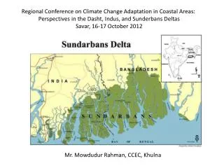
Sundarban: Largest mangrove forest of the world, India/Bangladesh Forest degradation has been occurring in many parts of Sundarbans Shrimp farming is a major threat to mangrove forests
Impact of flooding in Phnom Penh, Cambodia These images show the extent of flooding and extensive ditches and canals used for irrigation • 2000: Taken during the period of flooding • 2001: Taken after the flood waters had receded
Land reclamation changes along Isahaya Bay, Japan • 1993: Turning tidal lands into farmlands • 2001: The straight line of the sea wall is visible • 2003: The area has been fully reclaimed from the sea
Coastal vegetation change along Knife River Delta, Canada • 1973: Impact of snow geese on coastal vegetation • 1996: Overgrazing has turned the shoreline into an enormous mudflat
Transformation of Ijsselmeer The Netherlands These images show the transformation of polders (areas of reclaimed land) into useable farming land • 1973-2004: lighter blue water is the Markermeer – buffer against floodwaters • 2004: this area of reclaimed land was covered with farms
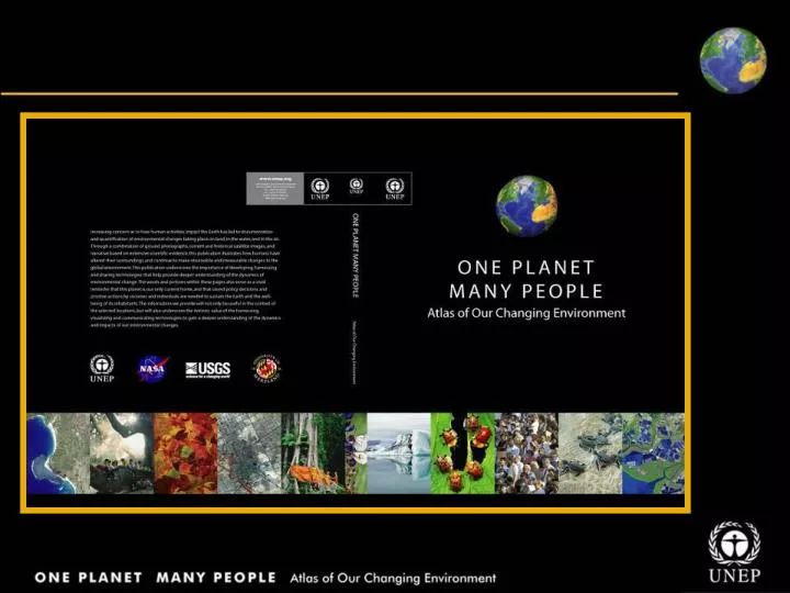
COASTAL AREAS One Planet Many People: Atlas of Our Changing Environment Thank You! Free Downloads: www.na.unep.net Purchase: www.Earthprint.com