Download
1 / 24
240 likes | 389 Views
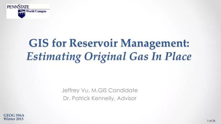
GIS f or Reservoir Management: Estimating Original Gas In Place. Jeffrey Vu, M.GIS Candidate Dr. Patrick Kennelly, Advisor. GEOG 596A Winter 2013. Outline. Background Introduction Objectives Data Methods Anticipated Results Timeline Future Development References Acknowledgements.

E N D
GIS for Reservoir Management:Estimating Original Gas In Place Jeffrey Vu, M.GIS Candidate Dr. Patrick Kennelly, Advisor GEOG 596AWinter 2013
Outline • Background • Introduction • Objectives • Data • Methods • Anticipated Results • Timeline • Future Development • References • Acknowledgements
Background • What is reservoir management?Use of earth sciences and petroleum engineering to forecast and manage the recovery of oil and natural gas (hydrocarbons) in place from a field or a prospect • Reservoir management plays an important role in the oil and gas industry by evaluating the greatest economic recovery from a reservoir.- Increase oil and gas production - Decrease risk - Maximize recovery and minimize costs • Reservoir Engineers typically don’t use GIS. They normally use Microsoft Excel for all sorts of modeling, including analysis.
Introduction OGIP: Original Gas In Place MMCF: Million Cubic Feet • Volumetric estimation is the common technique of the geologists to calculate hydrocarbons in place based on geologic mapping and reservoir engineering data. http://discoverygeo2com/Papers/Reservoir%20Eng%20for%20Geos%2032pdf
History and current process Determine reservoir gas in place using BASIC programming languageBASIC (standing for Beginner's All Purpose Symbolic Instruction Code) Cranmer, John L.: “BASIC Reservoir Engineering Manual”, PennWell (1982) 24-25.
History and current process (cont.) Calculate gas in place using Petra Calculate original gas in place using Excel http://petroleumsupport.com/volume-reservoir-and-gas-reserve-calculator-spreadsheet/
Current workflow 1320 sq.ft. x 1320 sq.ft. = 40 acres PLSS section (640 acres)
Objectives • Create a workflow using out-of-the-box tools in ArcToolbox as a screening workflow to estimate the Original Gas In Place (OGIP) for the Reservoir Engineers • Streamline the workflow to avoid human error in importing and exporting data • Allow user-drawn polygon as input to increase flexible analysis of fields or prospects • Use folder structure to manage data inputs and results • Run different scenarios • Estimate the OGIP under different uncertainties and assumptions
Proposed workflow (using ArcGIS) Grids exported from Petra Net pay Porosity Calculate OGIP Average values 40-ac fishnet Intersected 1320 sq.ft. x 1320 sq.ft. = 40 acres OGIP map Water saturation
Data • Exported grids from Petra • Net pay grid is required • All input grids must have the same coordinate systems and cell sizes • User’s parameters
Methods User-drawn polygon Is a grid? Copy to project’s folder YES NO Create a grid based on user-drawn polygon • Data management: User-defined folder structure • User-drawn polygon to increase flexibility in selecting areas of interest • Reusable workflow to run different scenarios • Python codes to check inputs (grid or constant value) User’s input = 2
Con (Spatial Analyst) Performs a conditional if/else evaluation on each of the input cells of an input raster Set raster cell to 0 when VALUE < 0
Reclassify Reclassifies or changes the values in a raster NoData Set raster cells to NoData or 1
Intersect & Fishnet Polygons • Convert all raster datasets to polygon features and intersect with each other • Create 40 acre fishnet polygons in Python Intersected fishnet polygons Net pay Porosity Water saturation 1320 sq.ft. x 1320 sq.ft. = 40 acres
Zonal Statistics as Table • Create additional fields in the fishnet polygons feature class • Run “Zonal Statistics as Table” tool for all input grids
Join Tables • Join “Zonal Statistic” tables to fishnet polygons table • Remove join before joining another table
Calculate Fields • Calculate fields, including OGIP OGIP Polygons
OGIP Raster • Create OGIP centroids • Generate OGIP raster grid • Create OGIP contours
Anticipated Results bcf (billion cubic feet) • Table with calculated of OGIP • OGIP grid • OGIP contour map
Timeline April 2014 March 2014 February 2014 January 2014
Future Development • Calculate remaining gas in place • Calculate net revenue interest by leases automatically
References • Reservoir Engineering for Geologistshttp://discoverygeo.com/Papers/Reservoir%20Eng%20for%20Geos%203.pdf • Cranmer, John L.: “BASIC Reservoir Engineering Manual”, PennWell (1982) 24-25. • Volume Reservoir and Gas Reserve Calculator Spreadsheethttp://petroleumsupport.com/volume-reservoir-and-gas-reserve-calculator-spreadsheet • Basic Geology and Volumetric Analyseshttp://www.petrocenter.com/reservoir/re01.htm • ArcGIS 10.1 Helphttp://resources.arcgis.com/en/help/main/10.1/
Acknowledgements Dr. Patrick Kennelly - Professor of Geography, Penn State University Penn State Online Geospatial Program Instructors David Bumbaugh – Reservoir Engineer, BP Jacob Maggard – Geospatial Capabilities Team Lead, BP