Download
1 / 12
140 likes | 256 Views
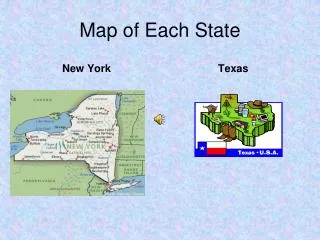
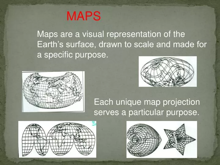
MAPS. Maps are a visual representation of the Earth’s surface, drawn to scale and made for a specific purpose. Each unique map projection serves a particular purpose. Types of Maps. Physical maps show elevation, mountains, rivers, deserts etc…. Types of Maps.

E N D
MAPS Maps are a visual representation of the Earth’s surface, drawn to scale and made for a specific purpose. Each unique map projection serves a particular purpose.
Types of Maps Physical maps show elevation, mountains, rivers, deserts etc…
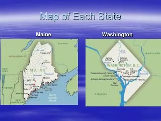
Types of Maps Political maps show countries, cities, capitals, counties.
Special purpose maps Maps designed for a special purpose. Highway maps, population maps, etc… Map of an area in an advertisement for a person offering hypnosis. Core mfgr. Region and major rail lines in the USA.
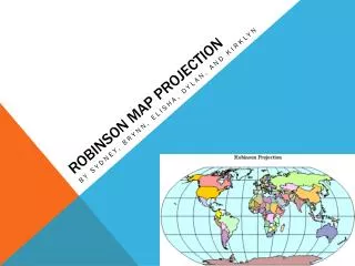
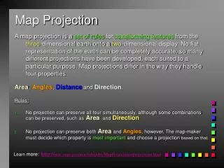
MAP PROJECTIONS Advantages (what is it used for) Projection Disadvantages What is distorted Robinson Compromises Polar Areas Hard to see the poles Shows minimal distortion. Used by schools
Robinson Projection Edges are rounded Antarctica is the wrong size Everything is distorted to a degree, no property is distorted too much. Used by schools
Mercator Projection Greenland is as large as South America. Note latitude lines get larger. Good for ship navigation.
MAP PROJECTIONS Advantages (what is it used for) Projection Disadvantages What is distorted Robinson Compromises Polar Areas Hard to see the poles Shows minimal distortion. Used by schools Mercator Areas larger near the poles. Greenland looks as large as South America Shows true direction. Used by ships navigators. Latitude lines Must have two maps to see the entire globe Used by airlines pilots to plot “great circle routes.” Azimuthal
Azimuthal Projection Used by airline pilots to plot the shortest route for flights. You need two maps to view the entire world.
Using different projections, determine the shortest route to fly to Note: since scales are not the same, these are only estimates. . . . . .. . . New York to Moscow New York to Beijing Need two Azimuthal maps to plot New York City to Cape town. New York to Cape Town
Remember, there are hundreds of map projections, each used for a specific purpose.