Download
1 / 17
180 likes | 344 Views
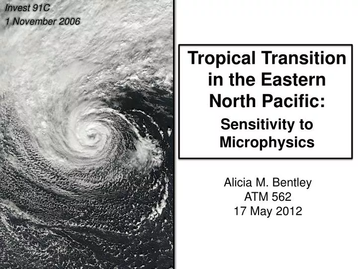
Invest 91C 1 November 2006. Tropical Transition in the Eastern North Pacific: Sensitivity to Microphysics. Alicia M. Bentley ATM 562 17 May 2012. Tropical Transition. Tropical cyclones (TCs) are not exclusive to the tropics. W arm core cyclones observed in atypical basins:.

E N D
Invest 91C 1 November 2006 Tropical Transition in the Eastern North Pacific:Sensitivity to Microphysics Alicia M. Bentley ATM 562 17 May 2012
Tropical Transition • Tropical cyclones (TCs) are not exclusive to the tropics Warm core cyclones observed in atypical basins: Hurricane Catarina (March 2004) Mediterranean Cyclone (October 1996) Image: MODIS (VISIBLE) Italy Brazil Image: EUMETSAT (VISIBLE)
Tropical Transition • Upper-level trough forcing and convectively driven diabatic potential vorticity (PV): 1) Enhance mesoscale convective vortex 2) Reduce shear over cyclone Effect of upshear convection Mediterranean Cyclone (October 1996) Italy Fig. 3b from Davis and Bosart (2004) Image: EUMETSAT (VISIBLE)
Tropical Transition • Upper-level trough forcing and convectively driven diabatic potential vorticity (PV): 1) Enhance mesoscale convective vortex 2) Reduce shear over cyclone Effect of upshear convection Mediterranean Cyclone (October 1996) Pre-Tropical Transition Italy L Fig. 3b from Davis and Bosart (2004) Image: NOAA (VISIBLE)
Invest 91C Unnamed TC in Eastern North Pacific (Invest 91C) • Baroclinic cyclone (28 October 2006) • Convection associated with bent-back frontal structure reduces vertical wind shear (29 October 2006) • Occludes and becomes warm core (1 November 2006) 1200 UTC − 29 October 2006 0000 UTC − 2 November 2006 1200 UTC − 1 November 2006 Black contours: 850 hPa relative vorticity Shaded: on Dynamic TropopauseWhite Barbs: Winds on the DT (m s-1) Thin black contours: e (K) Shaded: Tropospheric PV (PVU) NWS/NCEP Pacific Surface Analysis Fig. 18b from Hulme and Martin (2009) Image courtesy of Nick Metz
Invest 91C Unnamed TC in Eastern North Pacific (Invest 91C) • Warming in TC core due to the combination of diabatic heating in the eyewalland dry adiabatic descent within the eye • Structure of a TC is sensitive to the microphysical parameterization (MP) scheme used (Stern and Nolan 2012) 1200 UTC − 29 October 2006 2030 UTC − 1 November 2006 Black contours: 850 hPa relative vorticity Shaded: on Dynamic TropopauseWhite Barbs: Winds on the DT (m s-1) MODIS (VISIBLE) Image courtesy of Nick Metz
Invest 91C Unnamed TC in Eastern North Pacific (Invest 91C) • Warming in TC core due to the combination of diabatic heating in the eyewalland dry adiabatic descent within the eye • Structure of a TC is sensitive to the microphysical parameterization (MP) scheme used (Stern and Nolan 2012) 2030 UTC − 1 November 2006 OBJECTIVE: Identify the structural differences in Invest 91C that result from changing the complexity of the MP scheme MODIS (VISIBLE)
Model Configuration British Columbia Domain Overview • Weather Research and Forecasting (WRF) V3.4 • 1° Global Forecast System (GFS) analysis data • Two-way nested grid • Resolution • 35 vertical levels • Start time: 1200 UTC 29 October 2006End time: 1200 UTC 1 November 2006 50°N 40°N Outer = 30 kmInner = 10 km 30°N 160°W 150°W 140°W 130°W
Model Configuration WRF Physics Package CumulusParameterization (Kain-Fritsch) PBL(Mellor-Yamada-Janjic TKE) Land Surface(Noah) Microphysics WSM6 WSM3 Kessler “6-class” “3-class” “Warm rain” Run #1 Run #2 Run #3
Results 1200 UTC − 1 November 2006 Max. Reflectivity and MSLP • All MP schemes: - correctly identify asymmetry- highlight remains of occluded front to the northeast • Same location in all simulations • Kessler: lowest MSLP (< 984 hPa) • WSM6 & WSM3: MSLP < 988 hPa WSM6 WSM3 Kessler Observation Infrared (°C) Red contours: MSLP (hPa)
Results 1200 UTC − 1 November 2006 Max. Reflectivityand MSLP • All MP schemes: - correctly identify asymmetry- highlight remains of occluded front to the northeast • Same location in all simulations • Kessler: lowest MSLP (< 984 hPa) • WSM6 & WSM3: MSLP < 988 hPa WSM6 WSM3 40°N NWS/NCEP Pacific Surface Analysis Kessler 150°W 140°W Yellow contours: MSLP (hPa) Red contours: MSLP (hPa)
Results 1200 UTC − 1 November 2006 700 hPa Height, Temperature, and Winds • All MP schemes: - indicate a warm core- asymmetry in wind field matches convection • Kessler: deepest cyclone with the warmest core (2°C @ 700 hPa) • WSM3: sharpest temperature gradient & strongest winds WSM6 WSM3 Kessler Observation Red contours: 700 hPa temperature (°C)Blue contours: 700 hPa heights (m)Barbs: 700 hPa winds (m s-1) Infrared (°C)
Results 1200 UTC − 1 November 2006 850 hPa Absolute Vorticity and Wind • All MP schemes: - persistent asymmetry in the wind field- consistently place center at ~41.5°N,146°W • WSM3 and Kessler: absolutely vorticity maximum removed from the center of circulation WSM6 WSM3 Kessler Observation 10 m s-1 10 m s-1 10 m s-1 Infrared (°C)
Results 1200 UTC − 1 November 2006 Outgoing Longwave Radiation • WSM6 & WSM3: - correctly identify asymmetry- different because of binning hydrometers (mixed-phase) • Kessler: - lofting condensate into the atmosphere- GIANT anvil WSM6 WSM3 Kessler Observation Infrared (°C)
Results 1200 UTC − 1 November 2006 Kessler Kessler WSM3 WSM3 Vertical cross sections of condensate (g kg-1; shaded) and virtual temperature perturbations from the initial state (K; contoured) [Fig. 7 from Fovell et al. 2009]
Conclusions • Invest 91C: TT in Eastern North Pacific (October 2006) • Occludes and becomes warm core by 1200 UTC 1 November • Structure of TC sensitive to MP scheme • WRF V3.4 – MP schemes: WSM6; WSM3; Kessler • All MP schemes: 1) Produce warm core cyclones2) Identify asymmetry in convection 3) Indicate stronger winds to the north of TC center • WSM6: solutionconsistently closer to reality • WSM3: strongest winds and largest vorticity values • Kessler: warmest core, deepest cyclone, horrible OLR field • Lofting too much condensate into the atmosphere, spurious results
Any Questions? Thank you! Alicia M. Bentley E-mail: ambentley@albany.edu Special Thanks to: Kevin Tyle, Derek Mallia, Nick Metz, & Kristen Corbosiero