Download
1 / 42
460 likes | 730 Views
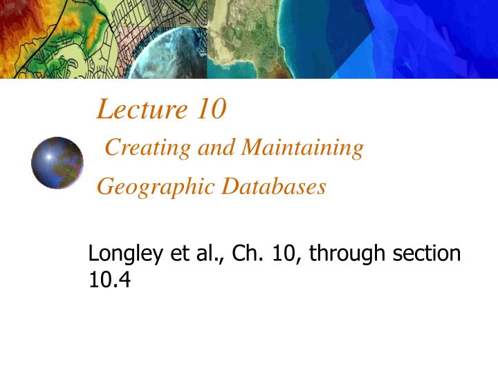
Longley et al., Ch. 10, through section 10.4. Lecture 10 Creating and Maintaining Geographic Databases. Outline. Definitions Characteristics of DBMS Types of databases Relational model SQL Queries as a gateway to spatial analysis. cell towers +/- 500 m Google db of tower locations.

E N D
Longley et al., Ch. 10, through section 10.4 Lecture 10Creating and Maintaining Geographic Databases
Outline • Definitions • Characteristics of DBMS • Types of databases • Relational model • SQL • Queries as a gateway to spatial analysis
cell towers +/- 500 m Google db of tower locations Wi-Fi +/- 30 m Skyhook servers and db iPhone GPS +/- 10 m iPhone uses reference network Graphic courtesy of Wired, Feb. 2009
Definitions • Database – an integrated set of data (attributes) on a particular subject • Geographic (=geospatial) database - database containing geographic data of a particular subject for a particular area • Database Management System (DBMS) – software to create, maintain and access databases
A GIS can answer the question: What is where? • WHAT:Characteristics of features (= attributes). • WHERE:In geographic space.
Attribute Data Flat File or DBMS Relationships Topology Table Map Data Point File Line File Area File Topology Type A GIS links attribute and spatial data
Record Value Value Value Record Value Value Value Record Value Value Value Flat File or DBMS Attribute Attribute Attribute
Ancient DBMS From Clarke, Getting Started with GIS
Types of DBMS Models • Hierarchical • Network • Relational - RDBMS • Object-oriented - OODBMS • Object-relational - ORDBMS
Historically, databases were structured hierarchically in flat files...
Characteristics of DBMS (1) • Support for multiple data types • e.g MS Access: Text, Memo, Number, Date/Time, Currency, AutoNumber, Yes/No, OLE Object, Hyperlink, Lookup Wizard • Load data from files, databases and other applications • Index for rapid retrieval
Characteristics of DBMS (2) • Query language – e.g., SQL • Security – controlled access to data • Multi-level groups • Controlled update using a transaction manager • Backup and recovery
Characteristics of DBMS (3) • Applications • Forms builder • Reportwriter • Internet Application Server • CASE tools • Programmable API
Role of DBMS Task System • Data loading • Editing • Visualization • Mapping • Analysis Geographic Information System • Storage • Indexing • Security • Query Database Management System Data
Relational DBMS (1) • Data stored as tuples (tup-el), conceptualized as tables • Table – data about a class of objects • Two-dimensional list (array) • Rows = objects • Columns = object states (properties, attributes)
Table Column = attribute Row = object Vector feature
Relational DBMS (2) • Most popular type of DBMS • Over 95% of data in DBMS is in RDBMS • Commercial systems • IBM DB2 • Informix • Microsoft Access • Microsoft SQL Server • Oracle • Sybase
Relational Join • Fundamental query operation • Occurs because • Data created/maintained by different users, but integration needed for queries • Table joins use common keys (column values) • Table (attribute) join concept has been extended to geographic case
SQL • Structured (Standard) Query Language – (pronounced SEQUEL) • Developed by IBM in 1970s • Now de facto and de jure standard for accessing relational databases • Three types of usage • Stand alone queries • High level programming • Embedded in other applications
Types of SQL Statements • Data Definition Language (DDL) • Create, alter and delete data • CREATE TABLE, CREATE INDEX • Data Manipulation Language (DML) • Retrieve and manipulate data • SELECT, UPDATE, DELETE, INSERT • Data Control Languages (DCL) • Control security of data • GRANT, CREATE USER, DROP USER
Spatial Search:Gateway to Spatial Analysis • Overlay is a spatial retrieval operation that is equivalent to an attribute join. • Buffering is a spatial retrieval around points, lines, or areas based on distance.
Overlay 0 1
Types of overlay operations • Union • Intersect • Identity • Max • Min Etc.
Union • computes the geometric intersection of two polygon coverages. All polygons from both coverages will be split at their intersections and preserved in the output coverage.
within 25 miles of a city OR within 25 miles of a major river. Union
Intersect • computes the geometric intersection of two coverages. Only those features in the area common to both coverages will be preserved in the output coverage.
Intersect within 25 miles of a city AND within 25 miles of a major river.
Identity • computes the geometric intersection of two coverages. All features of the input coverage, as well as those features of the identity coverage that overlap the input coverage, are preserved in the output coverage.
Identity Portion of the major city buffer WITHIN the major river buffer within 25 miles of a city OR within 25 miles of a major river. within 25 miles of a city AND within 25 miles of a major river.
Intersect Identity
Complex Retrieval: Map Algebra Combinations of spatial and attribute queries can build some complex and powerful GIS operations, such as weighting. Weighted overlay analysis really just complex retrieval.
Map Algebra Map Algebra Compared with RAINFALL 1990 RAINFALL 1991 MAX RAINFALL 1990-’91
OR Recode
A-B = AGRICULTURAL C-E = NON-AGRICULTURAL