Download
1 / 29
290 likes | 475 Views
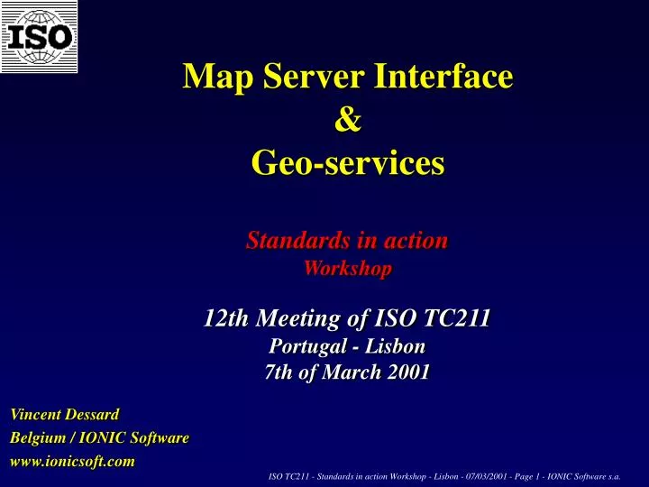
Map Server Interface & Geo-services Standards in action Workshop 12th Meeting of ISO TC211 Portugal - Lisbon 7th of March 2001. Vincent Dessard Belgium / IONIC Software www.ionicsoft.com. Belgium / IONIC. Member of standard organizations OGC, ISO/TC211, OMG, W3C

E N D
Map Server Interface &Geo-servicesStandards in action Workshop12th Meeting of ISO TC211Portugal - Lisbon7th of March 2001 Vincent Dessard Belgium / IONIC Software www.ionicsoft.com
Belgium / IONIC • Member of standard organizations • OGC, ISO/TC211, OMG, W3C • Head of Belgium Delegation at ISO TC211 • Seat at Open GIS Consortium Management Committee (TC rep to PC) • Very active in the standardization process • Author, co-author, editor and submitters of standard specifications : WMS, WFS, GML, Gazetteer, Geocoding, LOF, Service Model, Catalog Service • Leading participant in all OpenGIS testbeds and pilots : WMT-1, WMT-2, GFS-1, USL PP, GFS PP, MPP • Reviewer / contributor of EC projects for geo-spatial infrastructure : CEEC, Pre-Anvil, Agile, Administrative Boundaries, … • Testing platform for compliance to specification : WFS Tester, WMS Enabler, …
Belgium / IONIC • COTS : Implemented standards as commercial products • Contract with ESA (European Space Agency) for e-business of EO • Contract with SIEMENS for geo-enabled WAP Services • Contract with US Gov Agencies and US Army for projects • E-shop of IONIC products = COTS in Java / Component Suite : EJB, Servlets, Beans, JSP, applets, Application Framework • Worldwide leadership in implementation of these standards • Host of next OGC TC Meeting in Belgium (2-5 April 2001) • Possible presence of EC Commissioner for Research (?) • also hosting ISO TC211 Advisory Group for LBS (Location Based Services)
Vision & MissionWe see the whole market self-organizing around the concept of Location (including the wireless and mobile business) and demanding for a geo-spatial technology, interoperable, standard-based and ready for e-business We want to lead standardization of this technology so that we can deliver now the standard-based COTS that the market is requesting
Standards in actions … WMS example Interface defined by Web Map Server Interface ISO TC211 Document N939 NWI/CD
Distributed Mapping or geo-enabled services to present and analyze information from “Geo-Servers” using different vendors technology and rendering methods Online Geo-services Imagery = Map Server Clients BaseMap = Map Server RDBMS / GIS / ‘non-GIS’ = Features Servers Objects GML/XML Rendering Raster = Map Server Topo = Map Server Network = Map Server
Online Geo-Services Distributed Mapping or geo-enabled services to present and analyze information from “Geo-Servers” using different vendors technology and rendering methods Online Geo-services Imagery = Map Server Clients BaseMap = Map Server RDBMS / GIS / ‘non-GIS’ = Features Servers Objects GML/XML Rendering Raster = Map Server Topo = Map Server Network = Map Server
Online Geo-Services Distributed Mapping or geo-enabled services to present and analyze information from “Geo-Servers” using different vendors technology and rendering methods Online Geo-services Imagery = Map Server Clients BaseMap = Map Server RDBMS / GIS / ‘non-GIS’ = Features Servers Objects GML/XML Rendering Raster = Map Server Topo = Map Server Network = Map Server
Online Geo-Services Distributed Mapping or geo-enabled services to present and analyze information from “Geo-Servers” using different vendors technology and rendering methods Online Geo-services Imagery = Map Server Clients BaseMap = Map Server RDBMS / GIS / ‘non-GIS’ = Features Servers Objects GML/XML Rendering Raster = Map Server Topo = Map Server Network = Map Server
Billing Geocoding Coord. Transform Catalog WMS Portrayal Specialists Rendering Location-based Gazetteer Routing Security WMS Service WFS Service WFS Service WMS Service Data(Objects) Maps and/or Objects Maps GIS System Geo-enabledDBs GIS System Expert Expert ? ? Interoperability ... Market = End Users ( B2B or B2C ) Standards Interoperability Access all data Offer services Reduce the costs Use “geo-legacy”, finally ! Information : Maps or Features (GML)
Architecture (Concepts / Interfaces) Clients Java Clients HTML Clients WAP Clients Web Server Services WFS interface(Web Feature Service) WMS interface (Web Map Service) Application Server Portrayal service Data StoreData Servers Feature Servers Map Servers IONIC Components Standard Interfaces Legacy
I O N I C References ...
ESA Web Mapping Application & e-Business for Fire detection
COTS Standards in Action Standard on the market Implemented standards Standard-based COTS
Technology for interoperableWeb Mapping, Distributed GIS& Location Based ServicesShowcase
WFS/GML : Geo-spatial objects on the web ESA Web Mapping - Application for e-business Fire Detection Presented in EOS Workshop Bangkok (Sept ’00)
LBS/LBMS : examples • Location-based Advertising • Public Safety, Vehicle Management • Location-Based Billing • Leisure & Touristical Information • Mobile Service Information • Route Service Information & Roadside Emergency • Traffic Information & Directions • Emergency Services • Fleet Tracking • Vehicle Theft Detection and Recovery • Child Tracking • Classified Advertising (Jobs, properties, …)
Geocoding Service Geocoding Service GFS Testbed Presented in Arlington, DC 16th/17th Nov. (CIA)
Gazetteer Service Gazetteer Service GFS Testbed Presented in Arlington, DC 16th/17th Nov. (CIA)
Enhancing / Cascading / Connecting Services « Wrappers » to enable proprietary Servers as standard Servers « From proprietary technology to standard » (ex : ArcIMS)
Benefits of Interoperability (1) • No off-line data conversion required • No redundancy of geo data, reduced duplication and dissemination • Multi GI servers / Multi GIS-vendors / Reduce conflicting data • Cross-systems / cross-departments applications among public sector • Reduce significantly costs of non-interoperability of geo-data • Architecture : natively distributed & multi-servers • Standard-based (W3C, ISO, OpenGIS, OMG, …) • Benefit from geo-ressources (data + services) produced by others • Native for the Web • Ready for e-business • Promote access to digital geospatial information (National and International)
Benefits of Interoperability (2) • Save development effort • Use of leading-edge standard technology • Discovery and access through Catalogs • Multi-vendors, yet nothing proprietary • Keep legacy by wrapping existing systems • Reduce development and integration time • Focus is on information delivery, not data/map delivery ! • Decision Support (optimization and better repartition) • Distributed online services • Same information available for all • Better decision-making
Thank you for your attention www.ionicsoft.com 18, Rue de Wallonie4460 Grâce-Hollogne (Liège)BELGIUMTél : +32/4/364.0.364GSM : +32/476/55.78.11Fax : +32/4/253.47.37 vincent.dessard@ionicsoft.com
ConclusionWhat is available NOW ? • IONIC : A unique combination of expertise and technology • A comprehensive product line implementing standards 100% Java framework of client, middleware and server componentsfor fast & cheap development of interoperable Web Mapping applications.Available NOW! • A vision to share, for long-term evolution opportunities e-business (B2B/B2C), mobile clients, online geo-services & portals, influence standard as OGC author, ... • Not another complicated, heavy, non-maintainable, proprietary technology for both provider and end-users • The capacity to use concretely the emerging standards and technologies to identify and setup solutions meeting business requirements • Innovation, enthusiasm and return from experience of world-class projects