Download
1 / 11
130 likes | 307 Views
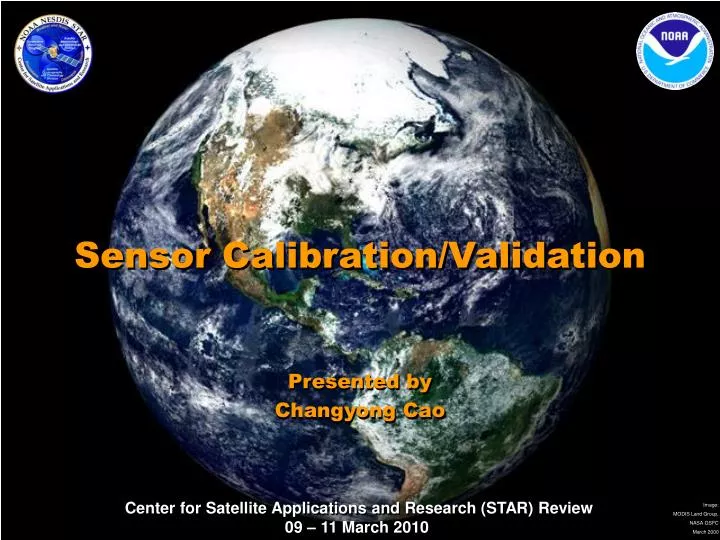
Sensor Calibration/Validation . Presented by Changyong Cao. Requirement, Science, and Benefit. Requirement/Objective NOAA 5 yr research plan:

E N D
Sensor Calibration/Validation Presented by Changyong Cao
Requirement, Science, and Benefit Requirement/Objective • NOAA 5 yr research plan: • “The importance of instrument calibration can hardly be exaggerated, because an uncalibrated or poorly calibrated instrument delivers a data stream that is much degraded in its usefulness.” • “Users of NOAA satellite data rarely have the expertise to perform calibration on their own, so the calibration is performed within NOAA…..” • More details in satellite mission and performance requirement documents Science How can satellite data be accurately calibrated/inter-calibrated to meet the challenging requirements of NWP and climate change detection? Benefit • “Contribute directly to improved forecasts … in National Weather Service Forecast Offices.” • Ensure quality products and services. “Users and value-added industries can immediately use the data for their own specialized capabilities. “ • “Deliver uniformly consistent information ‘ready-for-use’ in applications world-wide.” • “Reduce costs to the entire user community by eliminating the need for additional quality control”
STAR Supports All Cal/Val Segments • What Cal/Val components are included? • Every satellite program/ Instrument in the Life cycle • Three technical areas: radiometric, spectral, geo-spatial • What sensors are included? • All NOAA satellite instruments • Historical, current and future instruments • Research and International Extended Cal/Val Framework Prelaunch Operational On-orbit Verification Long-term monitoring Vicarious Inter-cal Re-cal RTM POES NPOESS GOES GOES-R Ocean sensors GSICS VIS/NIR/UV IR/MW Imager/ sounder Active Space Weather GLM
STAR Developed Several Key Methodologies for Climate Quality Calibration • Simultaneous Nadir Overpass (SNO)/Simultaneous Conical Overpass (SCO) • GOES as transfer radiometer for double differencing • Vicarious calibration (Libyan desert) • AVHRR lunar calibration (in collaboration with NASA) • Dome C calibration site (collaboration with CEOS agencies) • Cross-sensor calibration on MetOP (IASI/AVHRR/HIRS, collaboration with EUMETSAT) • Demonstrated capability developing fundamental climate data records (MSU/AMSU, SBUV, SSU, AVHRR, HIRS) SNO/SCO GOES vs. POES Cross sensor cal. on MetOP(IASI/HIRS) Cross calibration at Dome C
Calibration Heritage at NOAA/NESDIS/STAR • Responsible for calibrating NOAA’s operational polar-orbiting and geostationary satellites • A team of dedicatedinstrument scientists supporting the calibration of VIS/NIR, Infrared, and microwave instruments, since the late 1970s • In-depth knowledge and understanding of the NOAA instrument specifics • Collaborate nationally/internationally addressing satellite data quality, satellite inter-calibration, and climate-quality calibration issues • Support climate quality calibration for atmosphere, ocean, and land in two divisions and four cooperative institutes • Current leadership of the WMO/GSICS (Global Space-based Inter-calibration System) effort • Former leadership of the CEOS Working Group on Calibration and Validation (WGCV). POES/GOES/NPOESS/GOES R/JASON 2
STAR Provides Operational Calibration Support Support all four phases of operational cal/val: • Prelaunch • Currently focusing on GOES-R • Early check-out • GOES-14(OP) • On-orbit verification • GOES-14 (OP) • NOAA-19 • Long-term monitoring • All operational instruments L Spectral Response Function Analysis & Corrections NOAA-18/HIRS loose lens anomaly investigation Instrument performance monitoring
STAR Cal/Val Contributes to Weather and Water • Reducing biases between NWP model and satellite observations: • Corrected the spectral response functions • Resolved blackbody calibration anomalies • Providing in-situ ocean color measurements and standards for calibrating satellite sensors Reducing biases with SRF correction Establishing GEO-LEO consistency Inter-calibration with IASI Marine Optical Buoy
STAR Cal/Val Contributions to Climate Change Detection • Developed innovative techniques such as SNO for climate studies • MSU mid-troposphere temperature trend • SSMI water vapor trend • Aerosol time series • MODIS/AVHRR consistency • Jason/AMR stability assessment • Research on IASI/AIRS standard • Monitoring SST intersatellite consistency using MICROS • Developing Lunar & Dome C stability standards • NDVI long-term trend and lunar NDVI • PATMOS-X (Dome C) • Ozone instrument stability (Dome C) Midtroposphere temperature trend Lunar calibration and global greening trend Jason radiometer stability assessment SST consistency and trend
STAR Leads the GOES-R Cal/Val Goal: Ensure well calibrated & navigated level 1b data for GOES-R mission success • Developed a comprehensive cal/val plan for all GOES-R instruments (ABI/SWX/GLM) and institutionalized Cal/Val in the program • Strive for climate quality calibration from the start. • Leverage current GOES and GSICS capabilities • Collaborate with NASA/NIST/Industry/Universities Execution of the Cal/Val Plan • Major progress in developing core capabilities in radiometric, spectral, and geo-spatial calibration toolkits • Vicarious (desert, SST ocean, lunar) site characterization, and ground sys. support • Baseline the plan at GPO Synchrotron facility at NIST Lunar cal & NDVI traceability Vicarious sites Spectral cal analysis toolkit Geo-spatial toolkit (MTF/PSF, nav, co-reg.) Critical path analysis Baseline the plan
National Calibration Center (NCC) Vision Establish long-term stewardship and an independent technical authoritative source for satellite instrument calibration to ensure confidence in the accuracy, consistency, interoperability, traceability, and quality of satellite observations by leveraging key resources from NASA, NIST, NOAA and other agencies. Status Update -Successfully briefed NESDIS management, NOAA NRC, NIST, NASA/GSFC, but became “above core” for FY12 NOAA budget. -NCC is recognized as a core competency of STAR and US satellite programs -Working group of 10 leading calibration scientists will have the 1st meeting end of March at NIST. Plan to brief NASA headquarters this year. -NCC will start small and remain at working level.
Challenges and Path Forward • Science Challenges • Collaborate with NWP community to resolve observation vs. model biases • Continue developing advanced cal/val techniques and core capabilities • Establish standards and make satellite observations SI traceable • Next steps • Operational support: GOES-OP OV (see poster); GOES-R cal/val: continue developing advanced capabilities; JPSS: strengthening EDR and SDR cal/val support • Climate quality calibration (see poster) • Develop resources to meet the growing needs of cal/val in all segments • National Calibration Center (NCC), space weather, GLM, ocean sensors • NASA mission calibration research to operations • Transition Path • Develop, demonstrate, and publish new calibration methodology, apply to the operational calibration and recalibration of all NOAA instruments, and contribute to the reanalysis and FCDRs • CalPOP and SPSRB approval before operational implementation