Download
1 / 15
150 likes | 251 Views
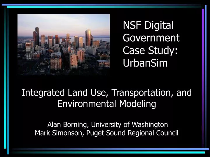
NSF Digital Government Case Study: UrbanSim. Integrated Land Use, Transportation, and Environmental Modeling Alan Borning, University of Washington Mark Simonson, Puget Sound Regional Council. Using Models in Urban Planning.

E N D
NSF Digital Government Case Study: UrbanSim Integrated Land Use, Transportation, and Environmental Modeling Alan Borning, University of WashingtonMark Simonson, Puget Sound Regional Council
Using Models in Urban Planning • Integrated land use and transportation models can provide an important tool for exploring policy alternatives and possible urban futures • What if …? • We built a new freeway or rail line? • We changed zoning or established an urban growth boundary? • We changed the tax structure? • What are the impacts on traffic congestion, open space, housing affordability, resource consumption, emissions, …?
150 Meter Grid Cells 150 square meter grid cells
UrbanSim - Interacting Component Models Macroeconomy Households Jobs Housing Nonresidential Buildings Development Regulations Transportation Accessibility Travel Model Land
Software Development Methodology • We use a version of an agile software development process • Developers: 2 PhD-level software engineers, computer science grads & undergrads • Architecture designed to make it easy to experiment with different component models, add new models • Test-first development, extensive battery of tests • Mostly Java currently; increasing use of Python • Software is Open Source (GPL)
Tests, Tests, and More Tests • 300+ Unit Tests using JUnit • 12+ Acceptance Tests using FIT (literate tests, readable by modelers)
Applying UrbanSim in Puget Sound • Puget Sound Regional Council • The transportation, economic and growth planning agency for the central Puget Sound region of Washington State • Some challenges for PSRC and the region (among others) • Transportation (e.g. traffic congestion, aging infrastructure, public transportation) • Very hard to find additional funding due to a series of ballot initiatives and voter opposition to any tax increase • Achieving goals of state Growth Management Act, such as preventing sprawl and loss of open space • Housing affordability, other equity concerns • Environmental issues: salmon, water quality, air quality, resource consumption
PSRC and Forecasts • History of preparing regional and sub-regional demographic forecasts • Federal and State obligations to maintain travel demand forecast capability • Use of DRAM/EMPAL models to produce regular Small Area Forecasts • Improving land use modeling is a priority • Direct response to comments heard during update of transportation plan, Destination 2030 • Better representation of land use plans and data • Able to test policy “what if” scenarios • Expanded geographical reporting ability
UW/PSRC Collaboration • Active, ongoing University of Washington/PSRC partnership to extend and apply UrbanSim to the region • Major activities • Last year: data collection, preparation, assessment • Current: sensitivity analysis (experimenting with 5 alternate scenarios that test the system’s response to major policy changes) • Spring 2005: use with realistic policy scenarios • Summer 2005: use in first major policy application (update of VISION 2020, the region’s adopted growth and transportation strategy) • Extensive involvement of PSRC staff, Regional Technical Forum, and others
UrbanSim Project - Future Directions • Additional ecological models • More direct support for public access and deliberation • A platform for open-source collaboration among modelers?
Ecological Models • Claim: for modeling the impact of urban areas on the environment, a behaviorally-based model of human activity is essential • Current ecological models in UrbanSim: • [amount and spatial distribution of open space] • Land cover change (done for King County) • Planned or likely: • Integration with EPA Air Quality model • Water demand model • Other strong candidates: • Greenhouse gas emissions • Energy consumption • Salmon
More Direct Support for Public Access and Deliberation • Three interrelated projects: • Indicator Browser • Ready-to-hand documentation • Live documentation; test-on-demand • Dynamic output • Indicator Perspectives • Organizations with widely differing views on land use, transportation, and the environment analyze and comment on indicators and scenarios • U-Build-It • Giving direct access to the simulation to citizens and elected officials
A Platform for Open-Source Collaboration among Modelers? • Developing UrbanSim user community • Application in Salt Lake City, Eugene, Honolulu, Houston, Phoenix, Tel Aviv, Paris, and elsewhere • First UrbanSim Workshop in San Antonio in January • Please ask Charlie Schweik for a copy of his paper “Open Source and Open Content: A Framework for Global Collaboration in Social-Ecological Research”