Download
1 / 14
140 likes | 269 Views
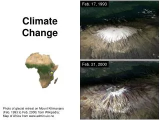
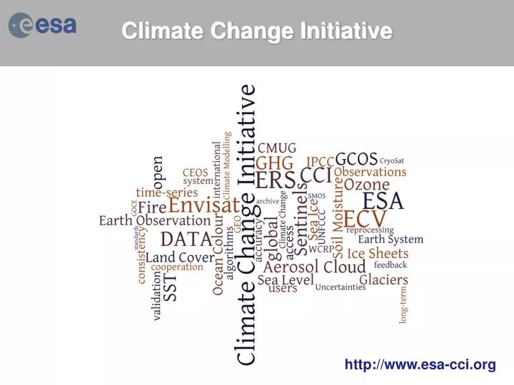
Climate Change Initiative. http:// www.esa-cci.org. CCI ECV Validation. Two level of Activities: Validation and Error Characterisation Internal to each CCI Project, ECV Data Product Assessment through the Climate Modellers User Group (CMUG). Requirements.

E N D
Climate Change Initiative http://www.esa-cci.org
CCI ECV Validation • Two level of Activities: • Validation and Error Characterisation Internal to each CCI Project, • ECV Data Product Assessment through the Climate Modellers User Group (CMUG).
Requirements • Each CCI project team (the contractor): • Within Europe: shall take full advantage of existing results, on-going projects, and future funding opportunities from national research programmes, from EUMETSAT and from the EC 7th Framework Programme, when planning, implementing and reviewing the progress of their CCI project. • On the international scene: shall coordinate activities with non-European teams, and seek independent scientific review of methods and validation of results, under the auspices of the authoritative international scientific bod(ies), most appropriate for each ECV.
Cardinal Requirement • Each CCI project (the contractor) shall meet the following “Cardinal Requirements”: • Develop and validatealgorithms to meet GCOS ECV requirements for (consistent, stable, error-characterized) global satellite data products from multisensor data archives.
Comprehensive analysis of existing methods through consultation process 11 datasets evaluated state-of-the art description ofdata and error characterization in use in the community - “The Real World” chapter of ATBD. New classifications of errors introduced removing inconsistencies in existing terminology - “Theory (ideal world)” chapter of ATBD. Recipes to combine the ideal and real worlds are given Ozone_cci: ”reviewmethods” Harmonized data and error characterization
Met Office Hadley Centre Climate Modelling NWP HadGEM3, FOAM, HadSST ECMWF Reanalyses NWP IFS (ERA-Interim) MACC MPI-Hamburg Climate Modelling MPI-M/ESM, JSBACH MétéoFrance Climate Modelling NWP Arpege, MERCATOR CNRM-CM, MOCAGE Climate Modeling Users Group Teams Climate Modellers Reanalyses
CCI Master Schedule 2009 2010 2011 2012 2013 2014 2015 2016 2017 1 2 3 4 5 6 7 8 9 10 11 12 13 14 15 16 17 18 19 20 21 22 23 24 25 26 27 28 29 30 31 32 33 34 35 36 Inception Phase 1 Phase 2 Scientific User Consultation Scientific User Consultation ppp Algorithm Specification Delivery Major System Development ppp ECV Delivery Assimilation / Assessment Climate Modellers User Group pPrioritise ECV pMid Term Review pPB-EO Implementation Collocation Meetings p #1 p#2 p p p#3 pLPS p#4 p p p CMUG Meetings p#1 p#2 p#3 p
Ocean Colour CCI Products Daily Error specification (RMSE and bias) based on comparison with match-up in situ data & extrapolation to global ocean Weekly Improved spatial coverage, even at weekly scale Monthly Annual Error-characterisation
GCOS Requirements First of its kind, based on user feedback, according to a method that uses optical water classification (Moore et al. 2009). Initial results, to be confirmed. RRS (412) RRS (443)
Ocean Colour CCI products Coverage: Global Projected Sensors and Periods In-situ Reference Data • MERMAID (MERIS Match up in-situ Data: 2007 - Present • MOBY (Marine Optical Buoy program):1996 - Present • NOMAD (NASA bio-Optical Marine Algorithm Data): 1997 – 2007 • SeaBASS (SeaWiFS Bio-optical Archive and Storage System):1997 – 2012 • AMT (Atlantic Meridional Transect):1995 – Present • AERONET-OC: 2001 – Present • Bedford Institute of Oceanography Bio-optical Database:1997 – Present • Boussole (Buoy for the Acquisition of Long Term Optical Time Series): 2005 - Present • ECMWF (European Centre for Medium-Range Weather Forecasts):1979 - Present